finding happiness in peru
A month ago I returned from what was quite possibly the best trip I’ve taken thus far in my life. The time I spent in and around Cusco, Peru featured everything I love about traveling: vibrant colors and culture, important historical meaning, beautiful architecture, delicious food, epic landscapes and outdoor adventures, great company, and a photographer’s heaven. Have I convinced you yet on why you should visit Cusco?
Our (my friend and I) trip took place over ten days in the middle of April. Our itinerary consisted of three days in Cusco, five days on the Salkantay Trek (led by the incredible Salkantay Trekking), and a day of travel on either end. A major reason for staying in Cusco before the trek was to acclimate. During the first two days of the trek we would be hiking from 12,000 ft. to 15,089 ft. so it was crucial that we spent a few days in Cusco (11,152 ft.) to help ourselves acclimate. I also brought along a prescription for Diamox (brand name for Acetazolamide) which helps speed up the acclimatization process. It didn’t make me fully immune to the effects of altitude (I wish), but I can confidently say that this medication helped me.
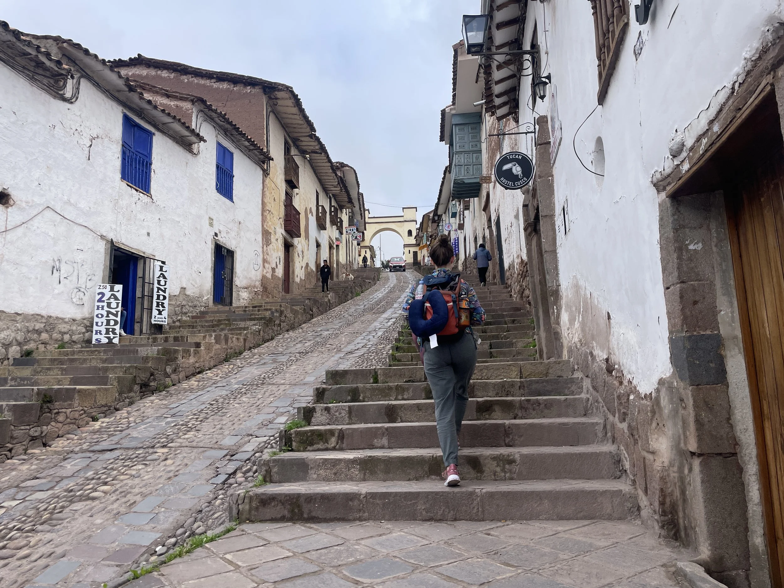
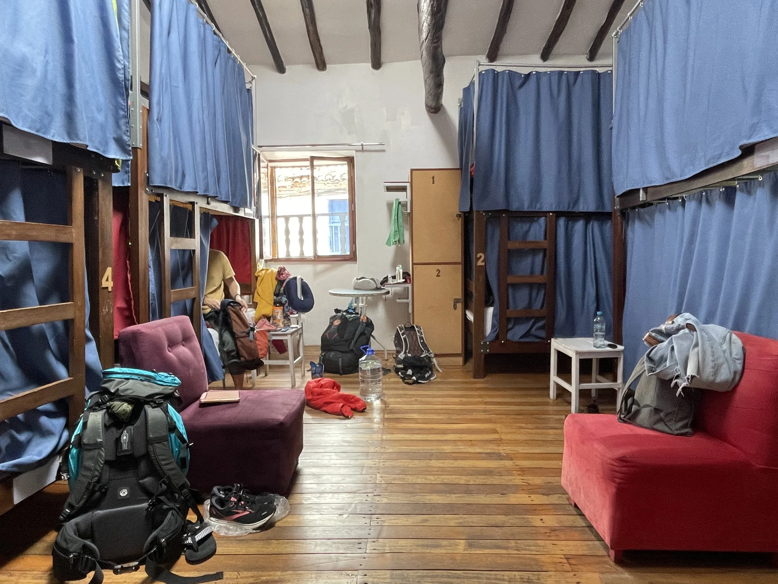
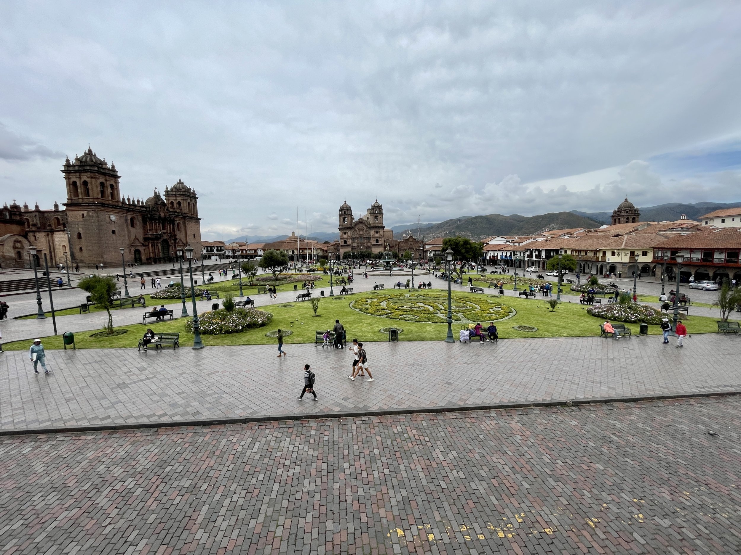
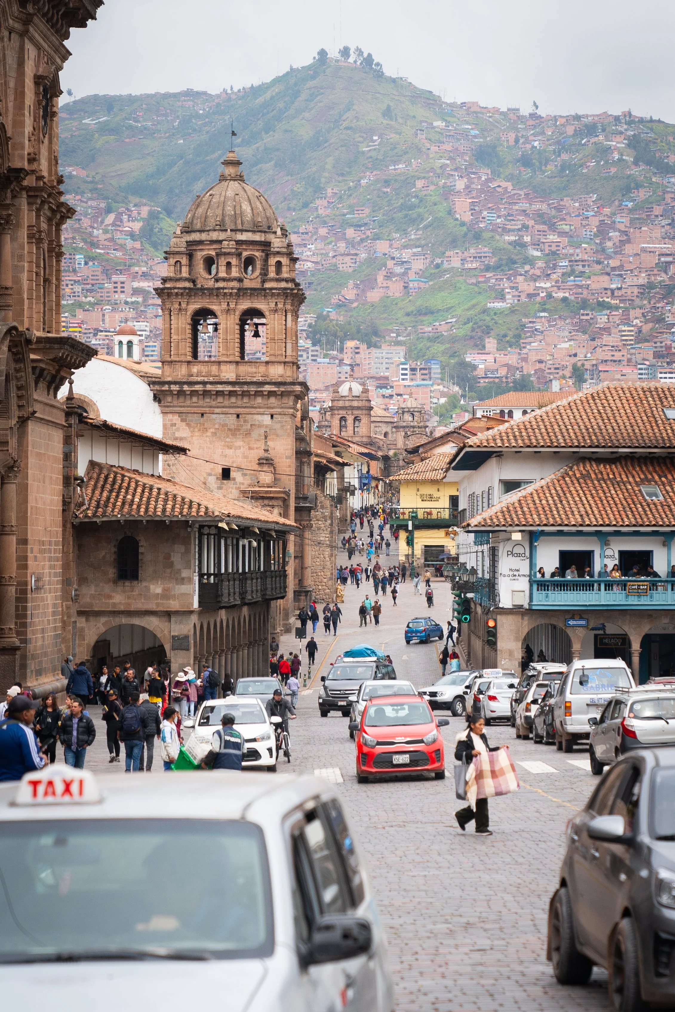
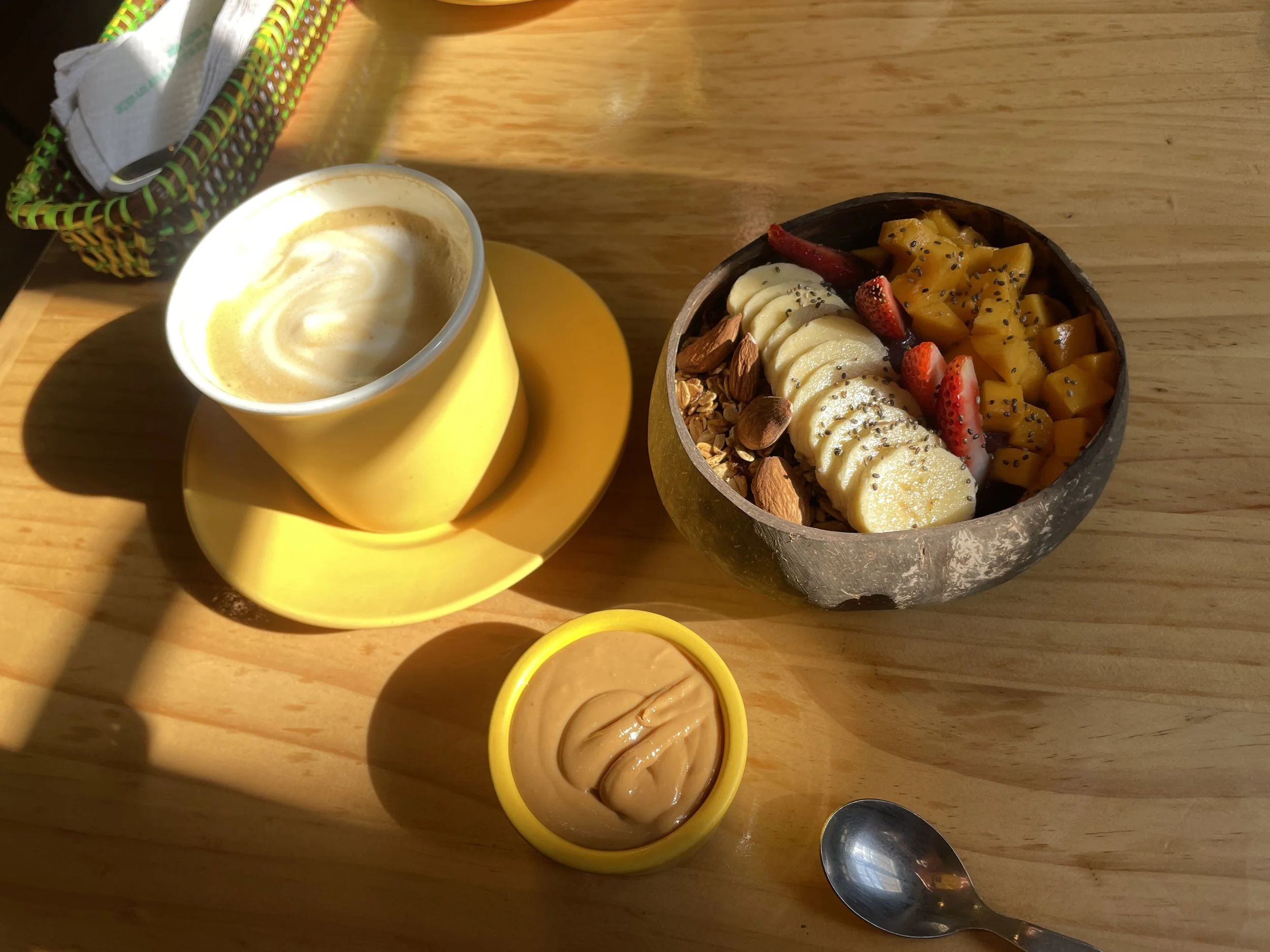
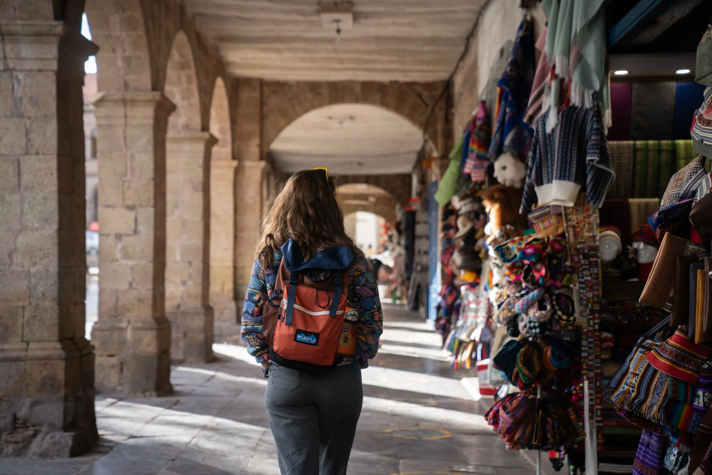
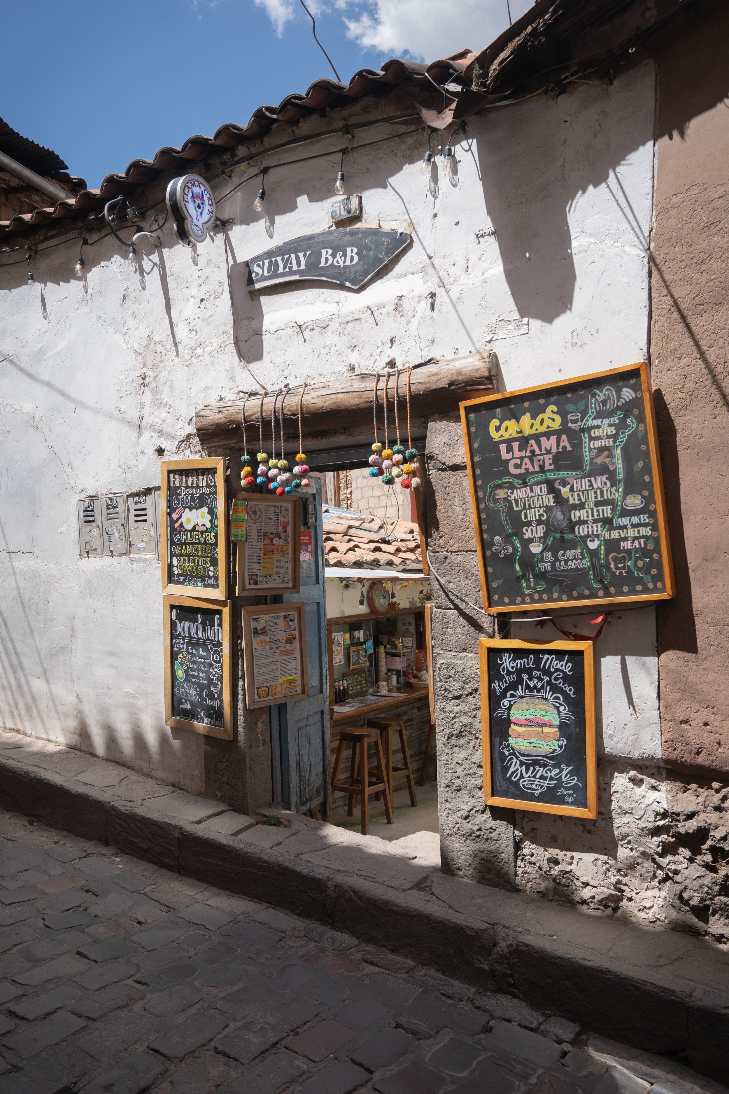
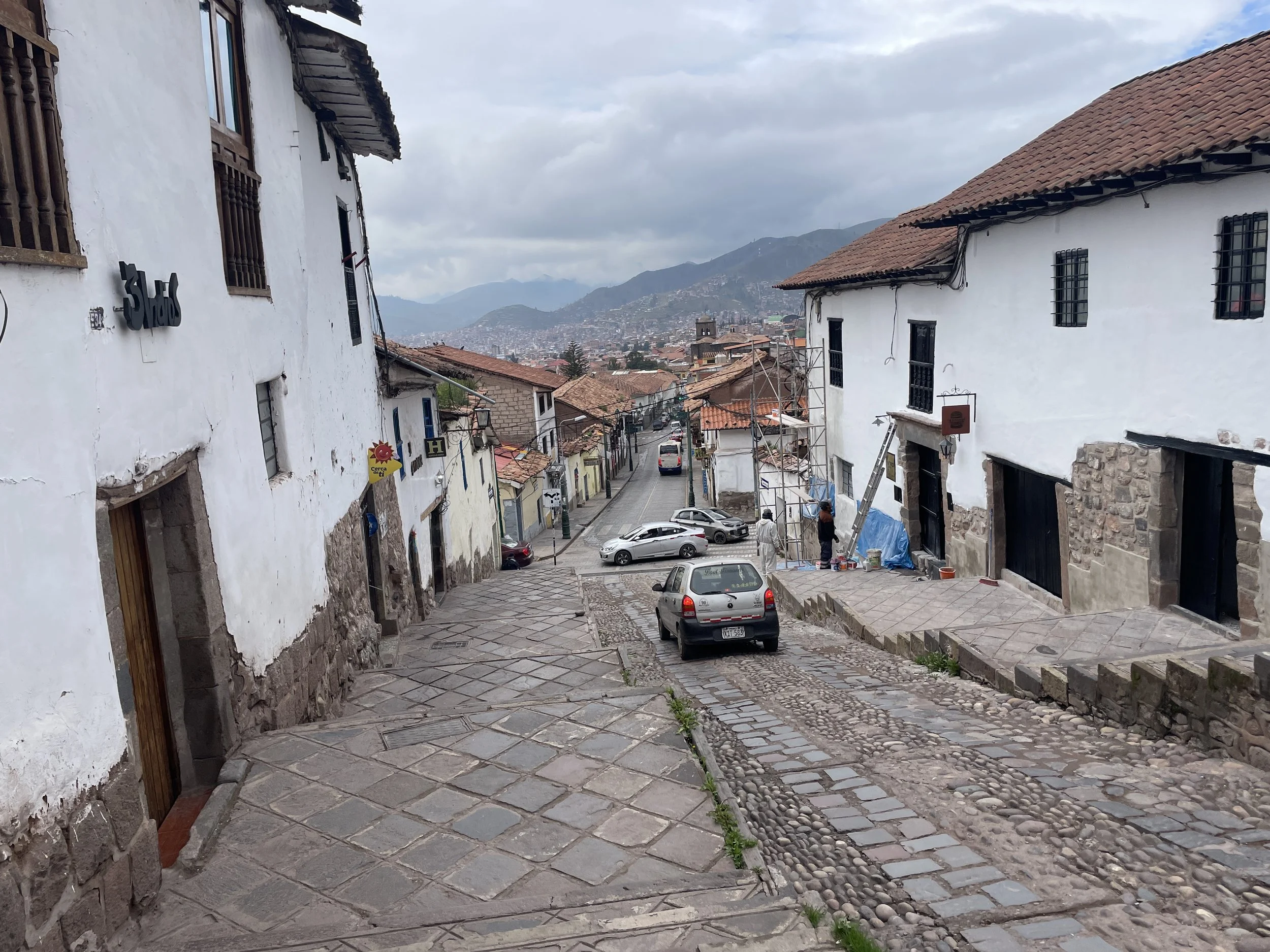
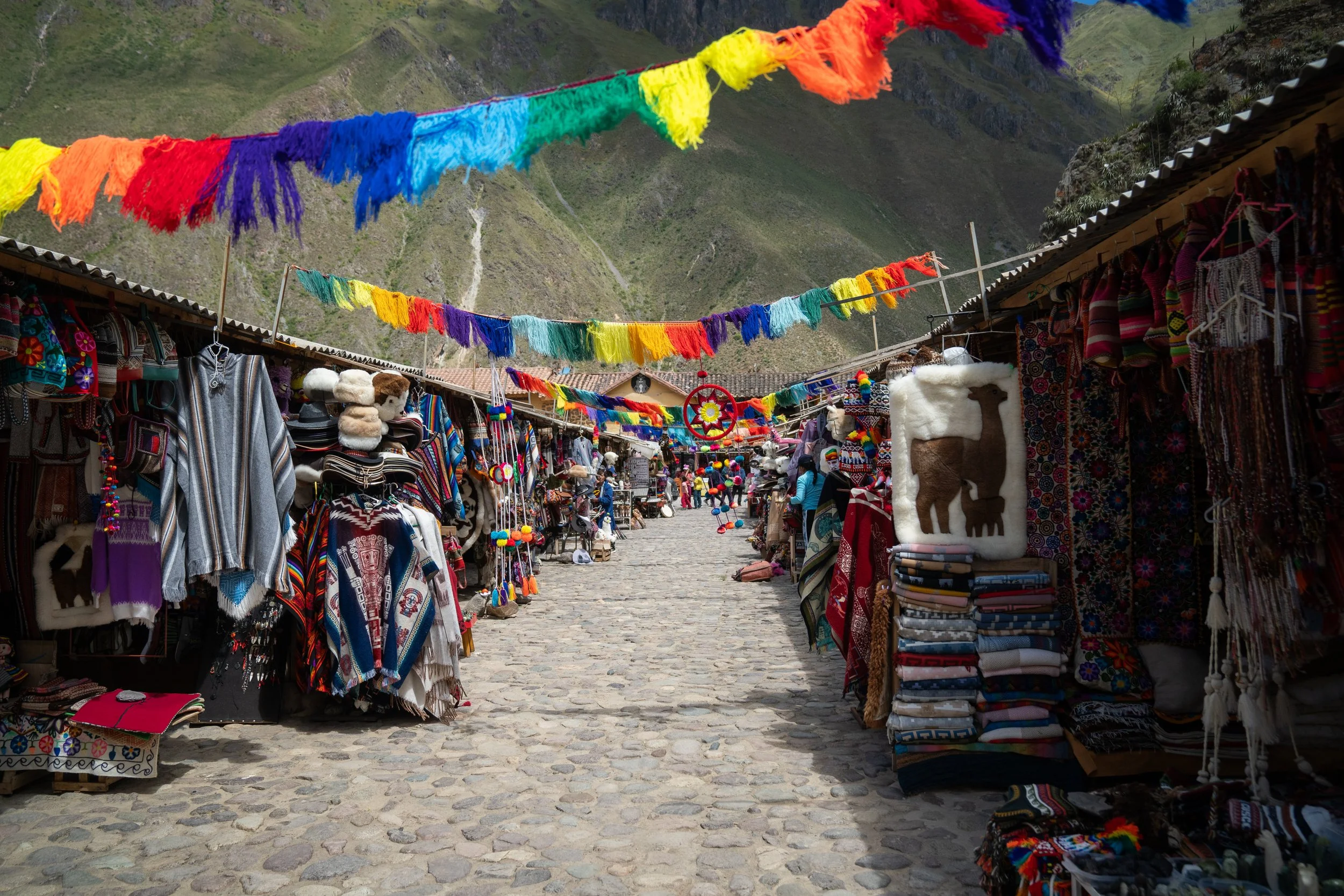
Our time in Cusco was spent drinking coffee (Qura was the best), soaking in the history, walking around Plaza de Armas (the historic center of Cusco), eating, shopping, and repeating. We stayed at the Tucan hostel, a few minutes walk away from the main square. There were narrow streets, small tourist shops, and stray dogs everywhere we went.
I didn’t know much about Cusco prior to the trip. But I quickly grew to understand just how important Cusco was to the history of the Inca Empire and Peru as a whole. Learning of its importance made me even more thankful that we chose to visit this city.
Cusco was originally called Qosqo, which means “navel of the world” in the Quechua language. It served as the capital of both the Inca Empire and Peru until the Spanish took over in the 1530s and moved the capital to Lima because of its proximity to the coast. The Spanish changed the name Qosqo to Cuzco to make it easier to pronounce, and when Peru gained its independence in the 1820s, the name was changed to Cusco because oftentimes the letter z wasn’t pronounced. Beyond the name of the city, a lot of the landscape changed in Cusco due to the Spanish takeover. Temple sites were abandoned and left unfinished, agriculturally rich terraces went unused, and many sacred temples were torn down to make way for Spanish cathedrals.
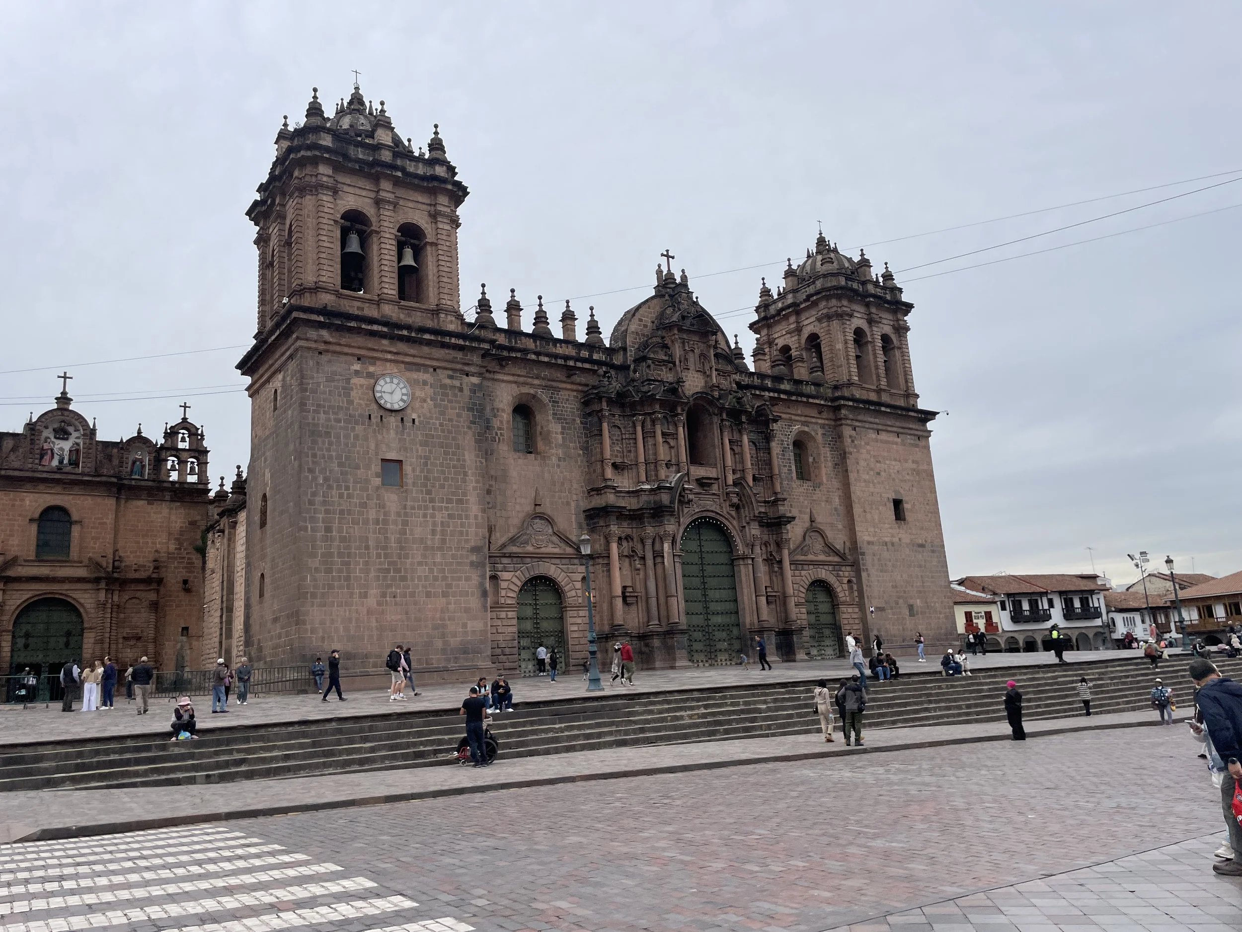
the Cathedral of Cusco
We visited one such cathedral called the Cathedral Basilica of the Assumption of the Virgin, also known as the Cathedral of Cusco, that was built in place of the Inca temple Kiswarkancha. We also toured Qorikancha, a very important temple in the center of Cusco during the height of the Inca Empire. When the Spanish invaded, they tore down a lot of the temple’s structure and built a church in its place. While both churches were beautiful sights to behold, I felt unsettled knowing they also represented the purposeful erasure of the Inca culture.
While touring Qorikancha, we also learned a lot about Pachacuti, one of the most important emperors of the Inca Empire. He transformed Cusco from a town to an empire, and is responsible for much of the Inca territorial expansion and the design of many of the temples and terraces present in the Sacred Valley. He is credited with initiating the build of Machu Picchu and as a testament to his importance to the Inca Empire, a statue of him can be seen in the center of the Plaza de Armas.
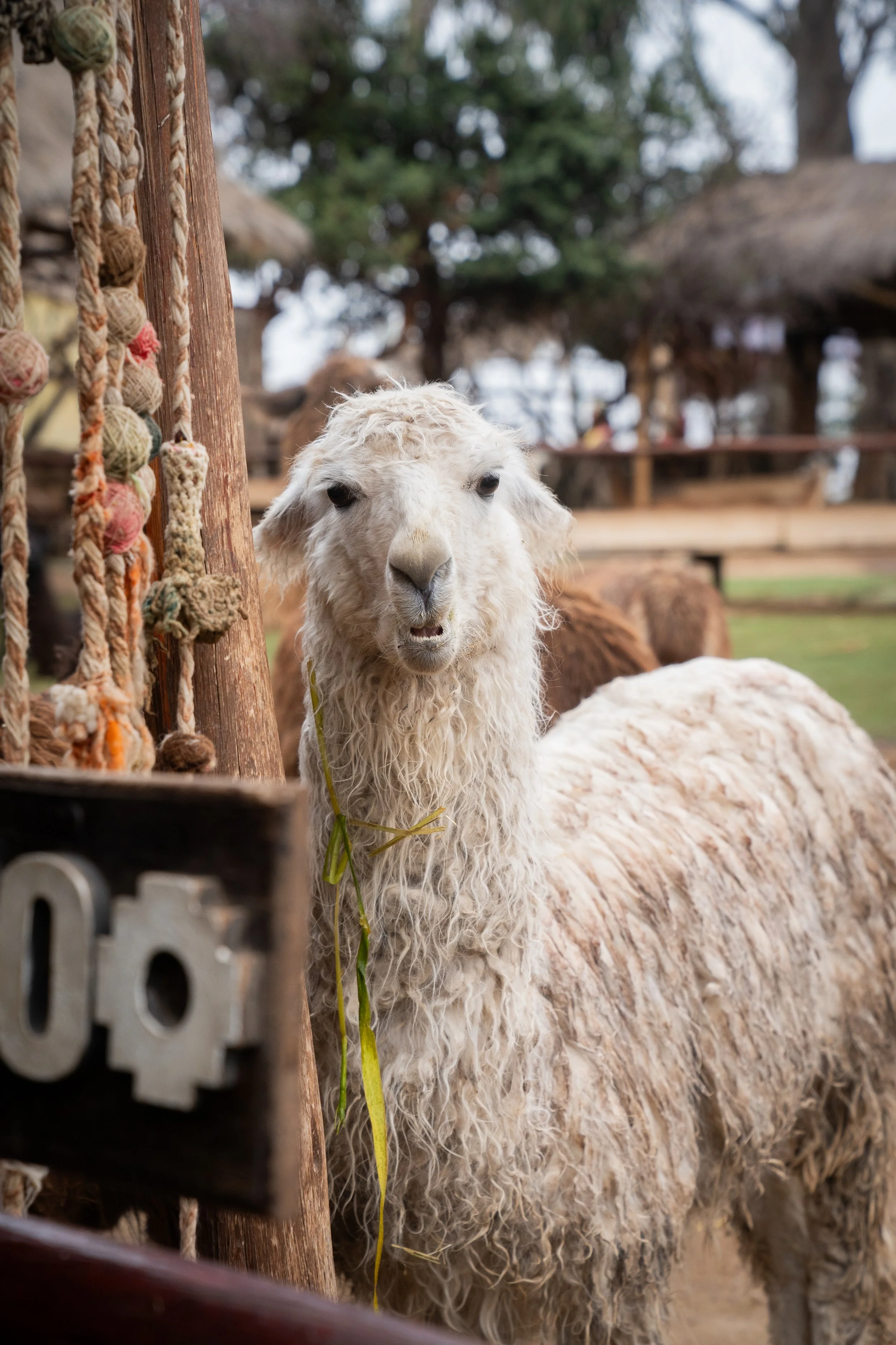
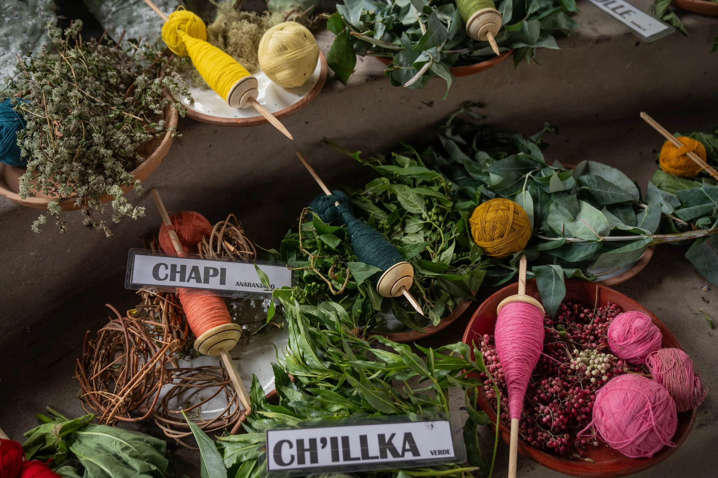
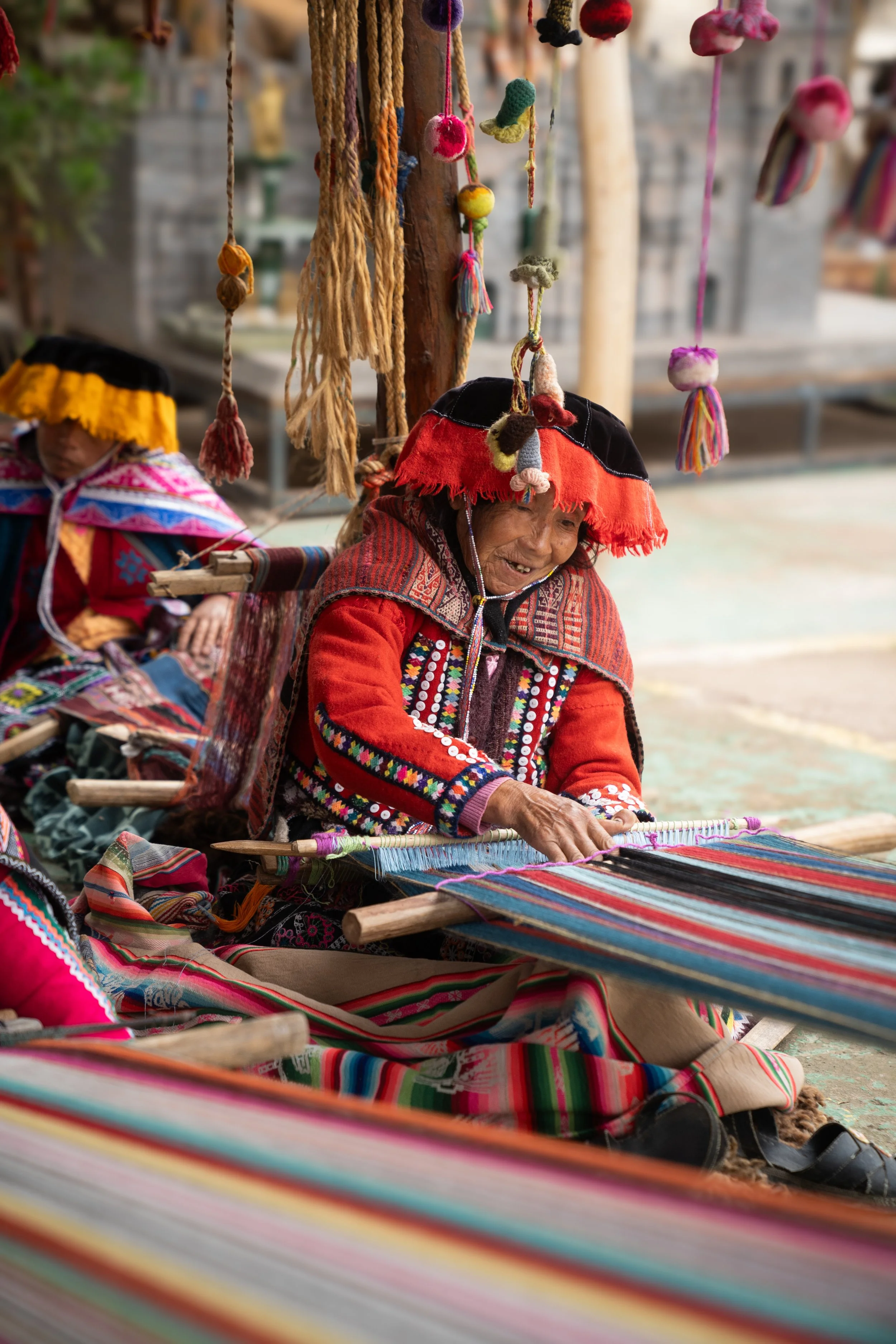
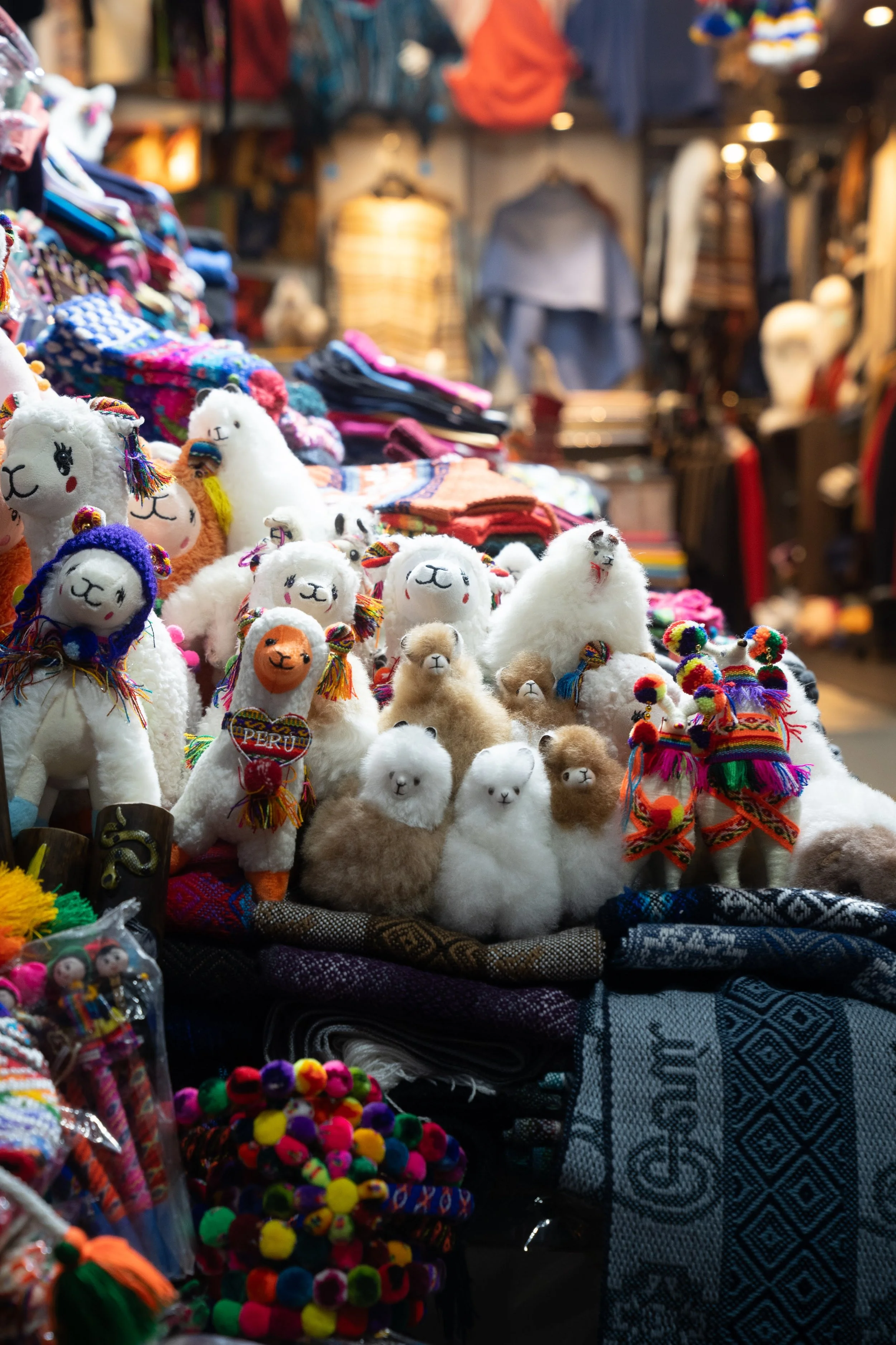
In addition to wandering the city, we also took Salkantay Trekking's “Super Sacred Valley of the Incas Tour” which took us to a bunch of different archeological sites that were significant to the Inca Empire. It was a jam packed day. We visited the Manos de la Comunidad, an animal sanctuary that is taken care of by over 300 families, and got to feed several types of llamas and alpacas, and see their relatives the vicuña (national animal of Peru) and the guanaco. We learned about how their wool, namely alpacas because their wool is the softest, is dyed a variety of colors using various plants, bugs and fruits. Fun fact, you can tell real wool apart from synthetic because wool is cooler to the touch, softer, and the colors are more earthy/muted than the brighter synthetic colors available.
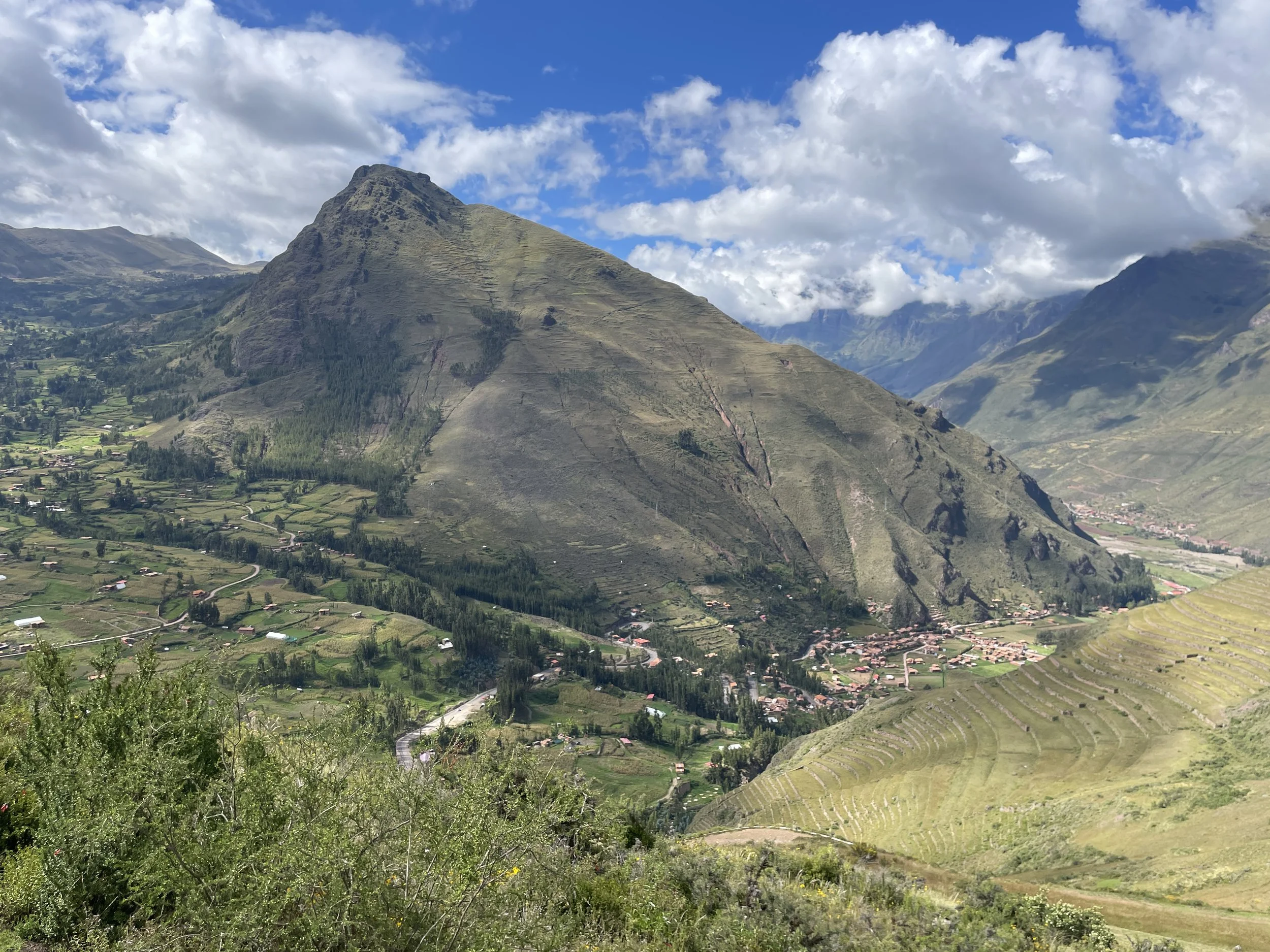
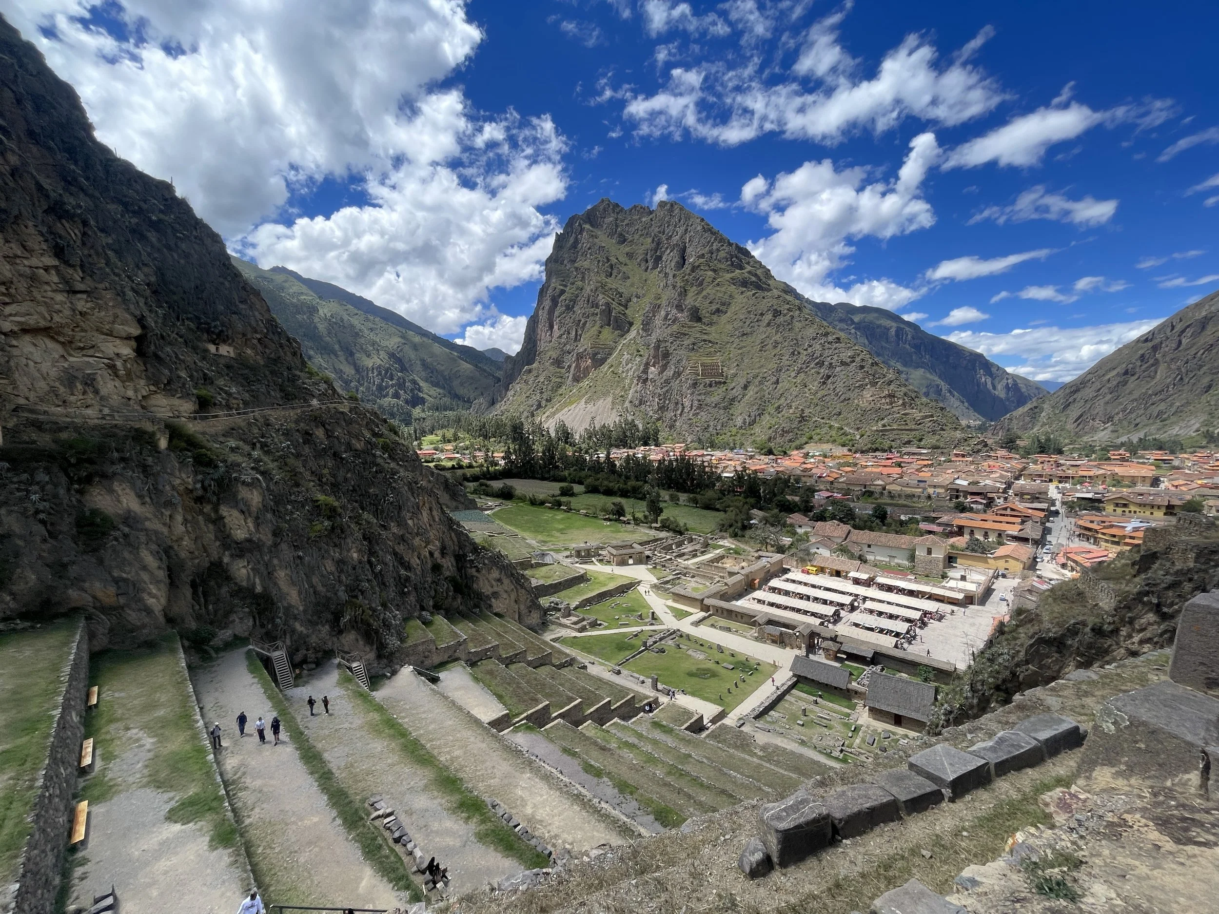
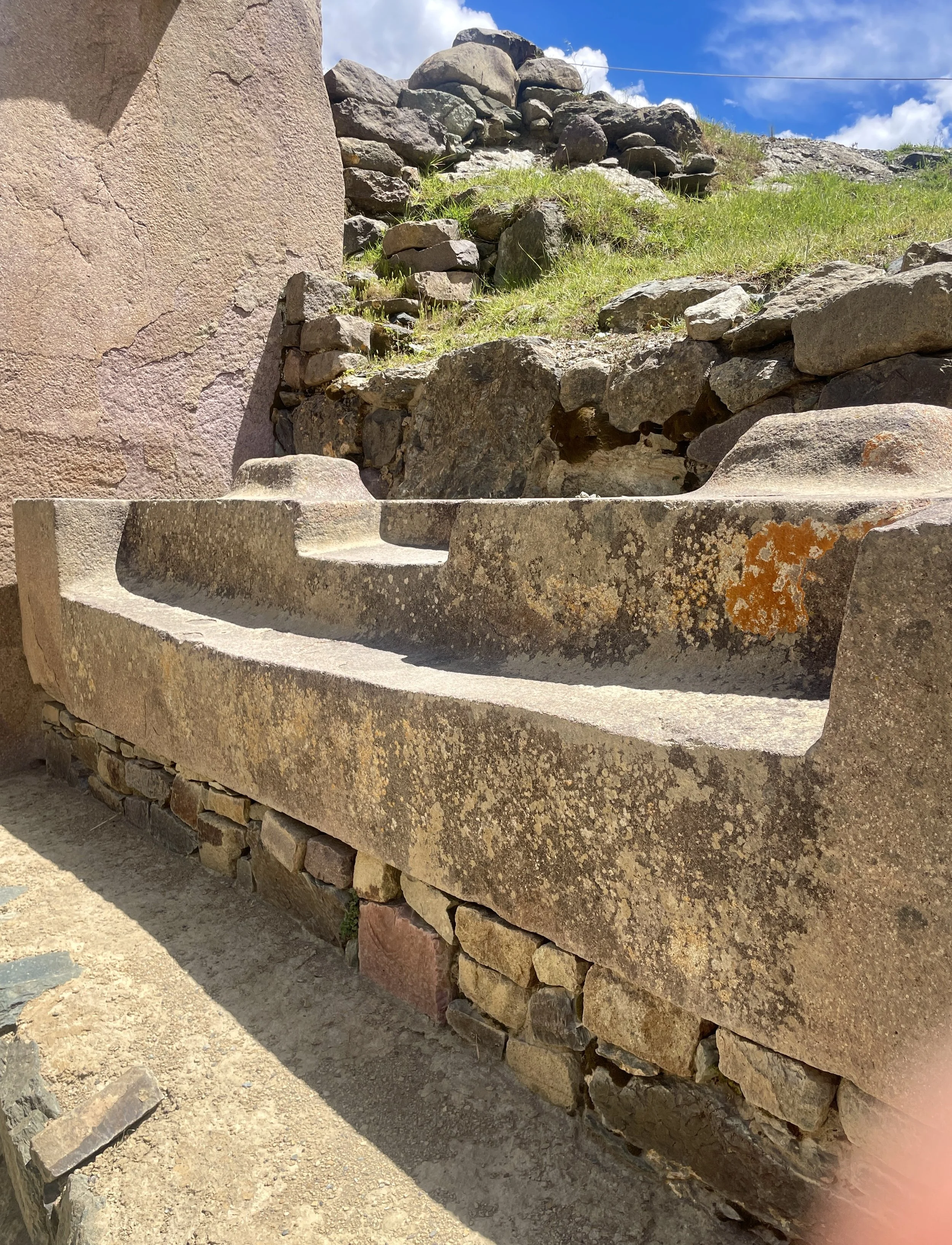
From there, our whirlwind tour continued to the towns of Pisac and Ollantaytambo where we saw terraces built into the hills. Back in the day, the terraces were built in such a way that it helped mitigate earthquakes, drain water, and provide lots of accessible farming space along the hillside. Temples were built at the top of the hills so that priests could be closer to the sun to worship and were constructed using a ton of stone blocks. But instead of being connected using mortar or cement, indentations were carved into the stones so that they fit perfectly together, like Legos. This ensured that there was no wiggle room, which was a necessity because of earthquake risks.
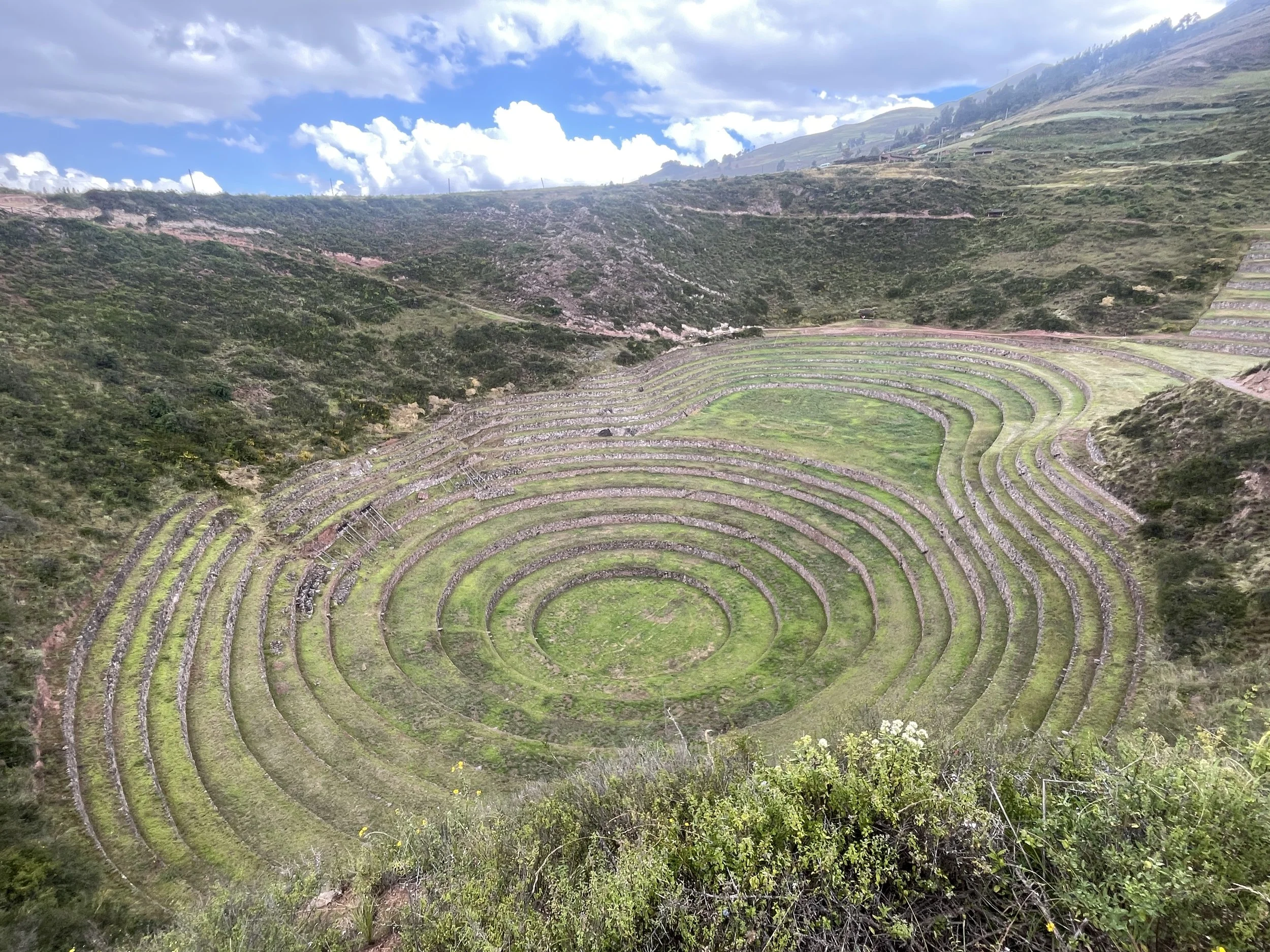
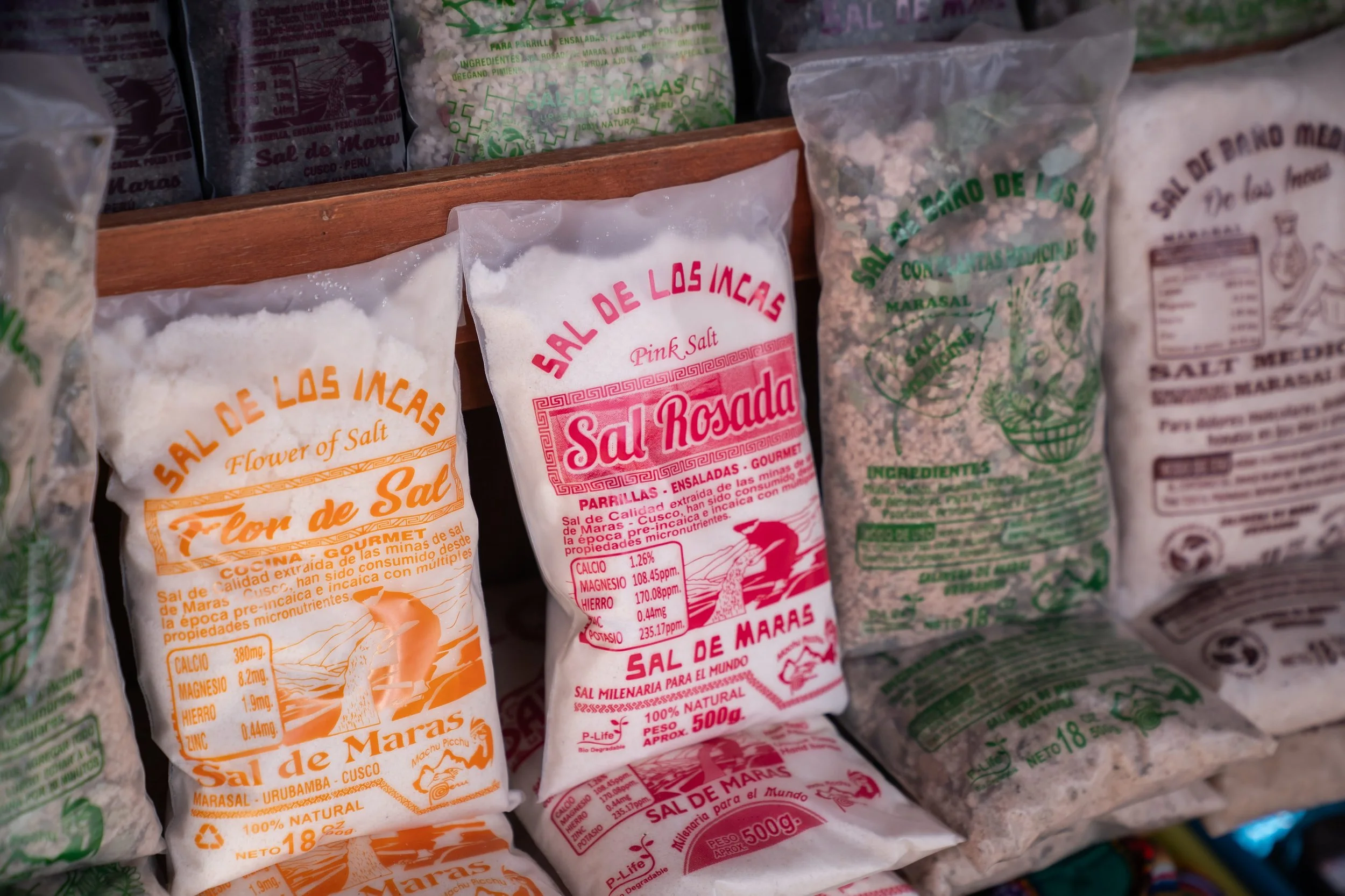
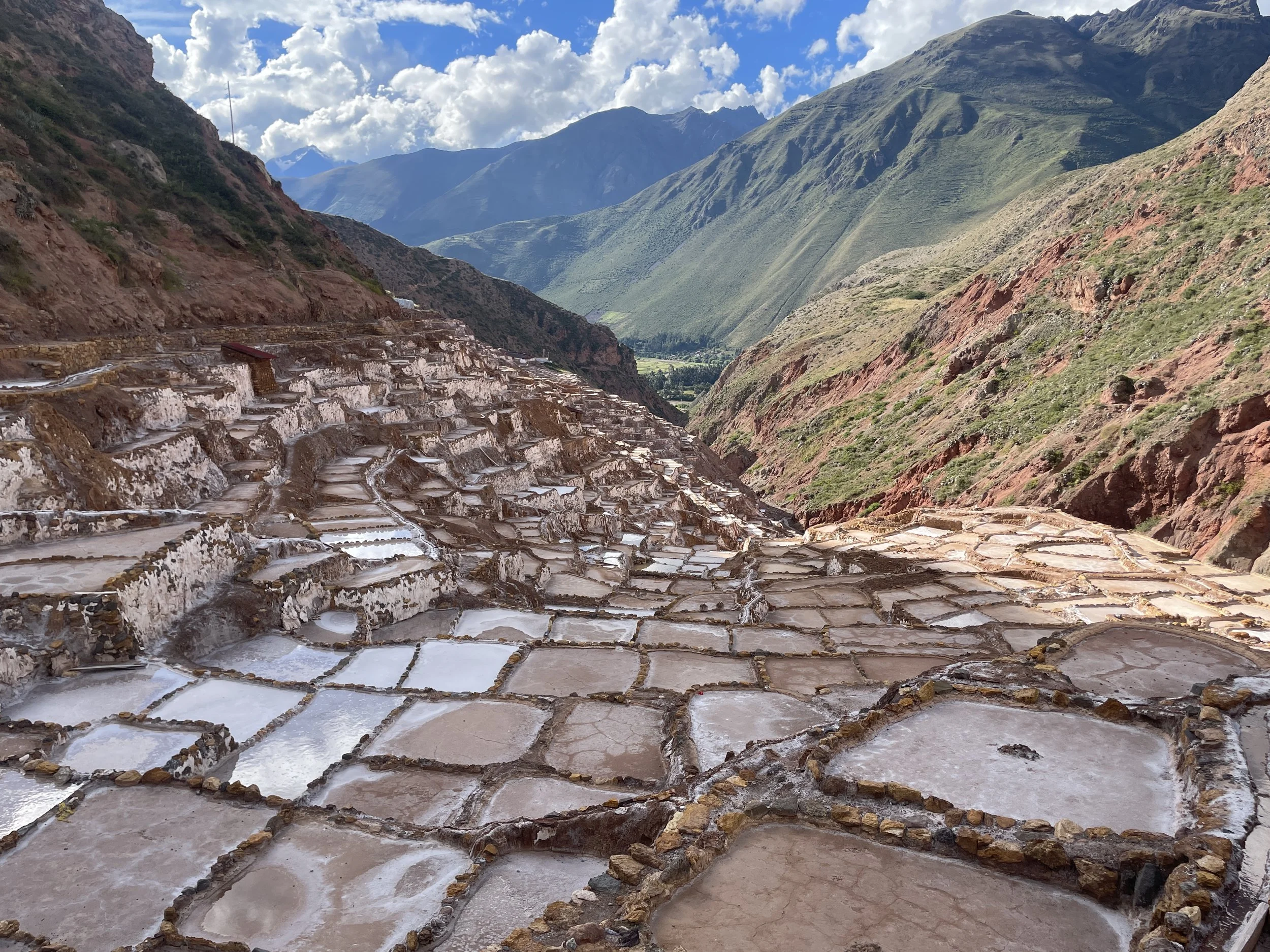
Our last two stops of the tour were the Moray terraces and the Maras Salt Mines. Because of the different depths of each of the terrace tiers at Moray, each tier experiences a difference in 1°C (33.8°F) temperature which allowed farmers to grow different types of crops at different temperatures despite being at such a high altitude. At the Maras Salt Mines, we had the opportunity to learn about how salt gets produced in the Sacred Valley. There’s a salt lake in the mountains that drains into the pools and as time goes on, the water evaporates, leaving only the salt to be harvested. It takes about a month for the salt in one pool to be fully ready to harvest.
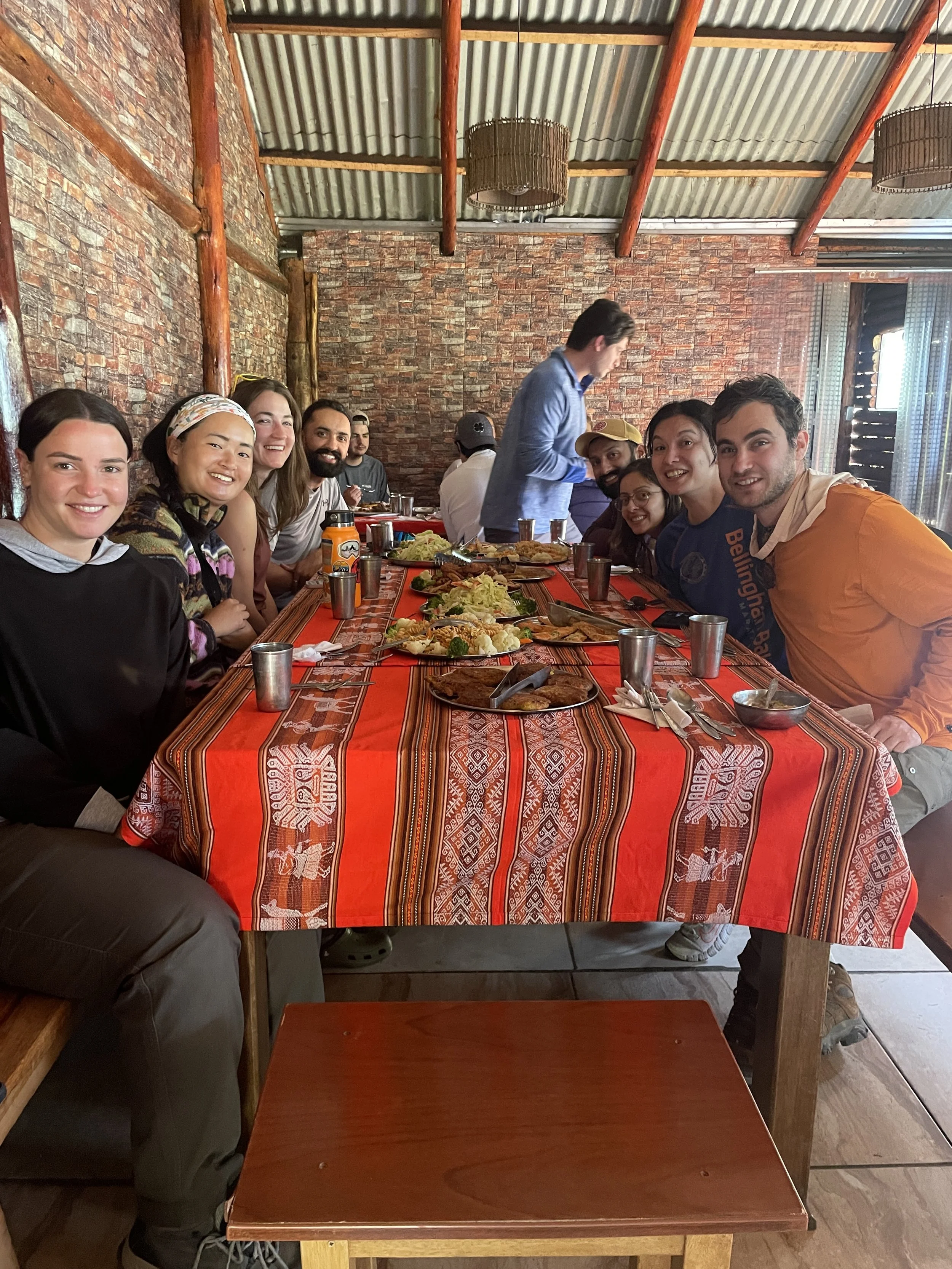
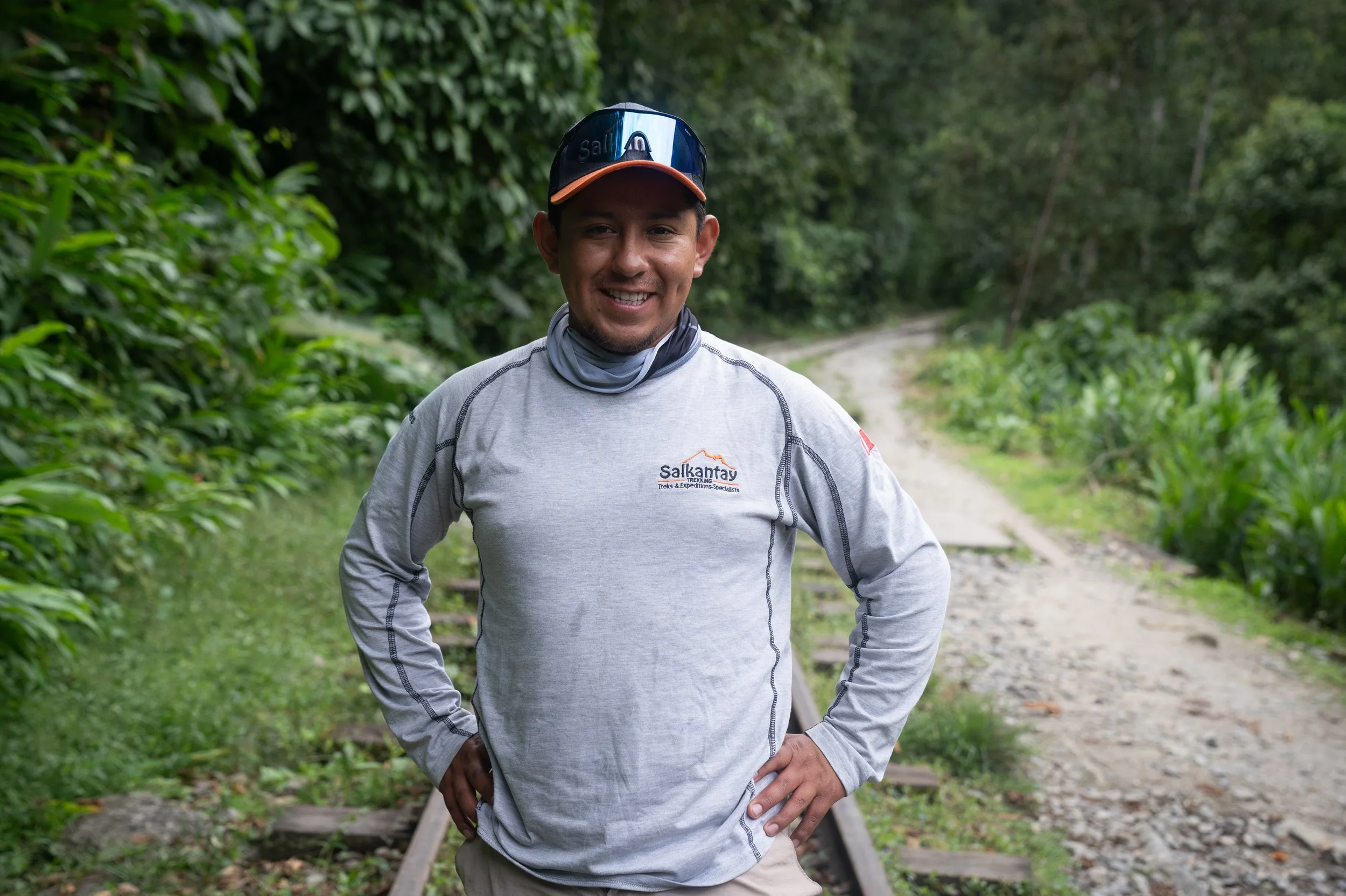
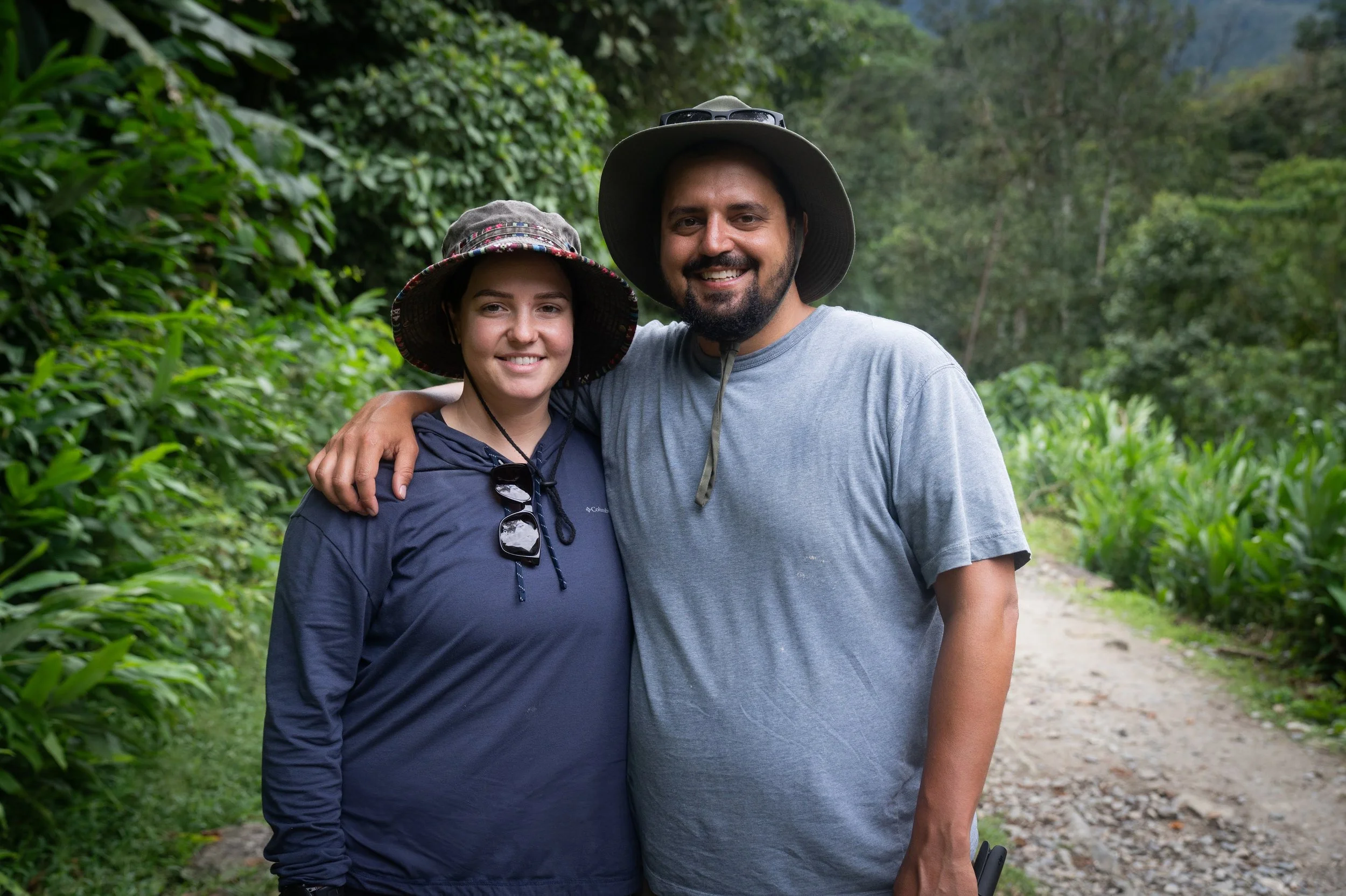
At the end of our three days in Cusco, we had our pre-trek meeting with Salkantay Trekking. It was really exciting to finally meet the hikers and guide (Carlos) that we’d be with for the next five days as we made our way from the outskirts of Cusco, over Salkantay Pass, to Machu Picchu. All the other hikers (8 others) in our group were from the United States. Even though the time exploring Cusco was really fun, this trek was the main reason we came to Peru. And we were finally about to begin!

DAY 1 - CUSCO TO SORAYPAMPA
We woke up bright and early for a 4 am pick-up and then it was on to Mollepata where we had breakfast and started to get to know our fellow hikers. A lot of them worked in the health industry, some in sales and IT, and others in science journalism. We all had a wide variety of careers and past experiences, and all seemed to get along well so far. After breakfast we drove to the trailhead in Challacancha which sat at 12,067 feet. I felt nervous but excited, and most importantly, I felt that this was exactly where I was meant to be in the world at that moment in time. The presence I felt was such a wonderful feeling.
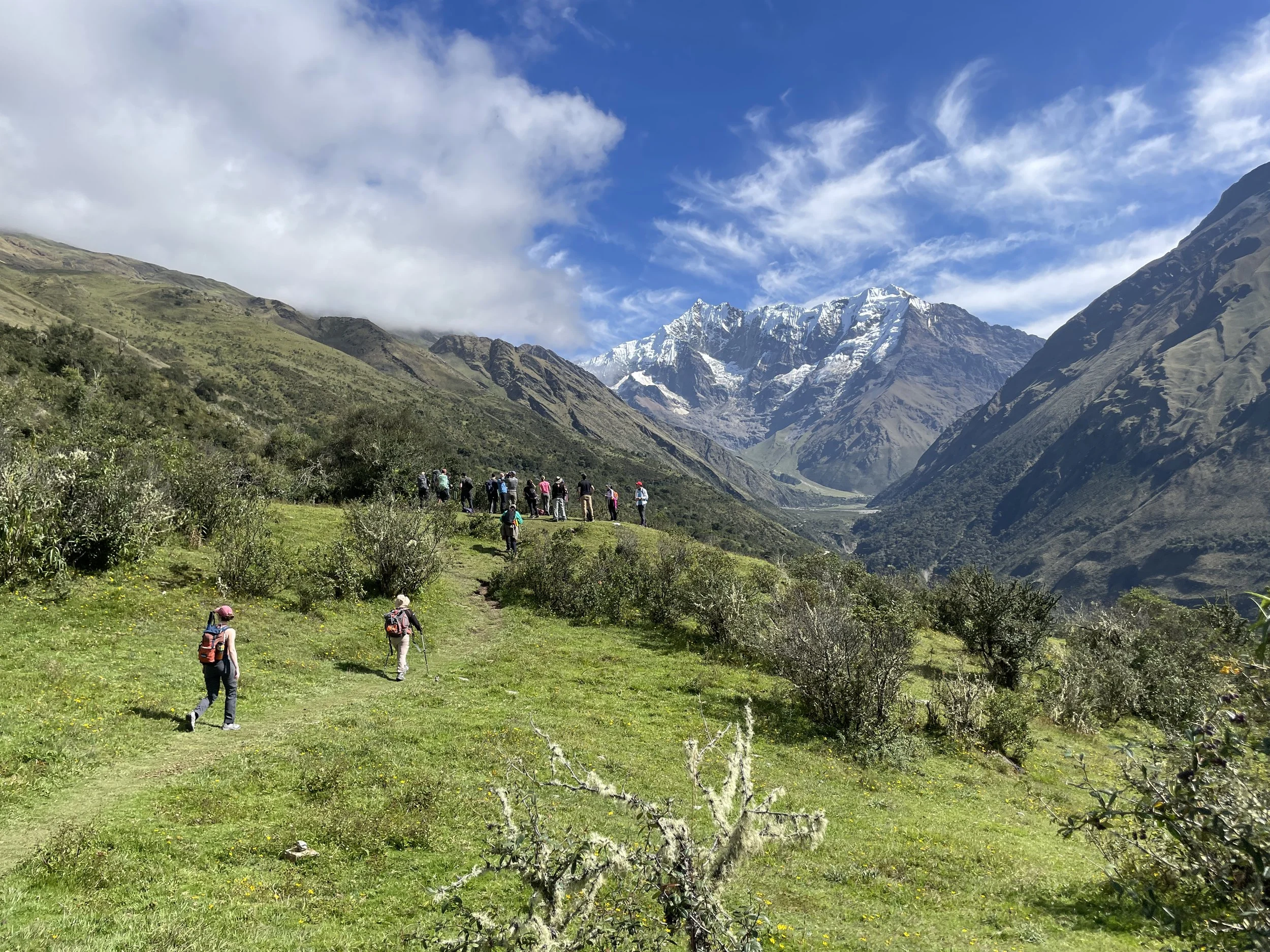
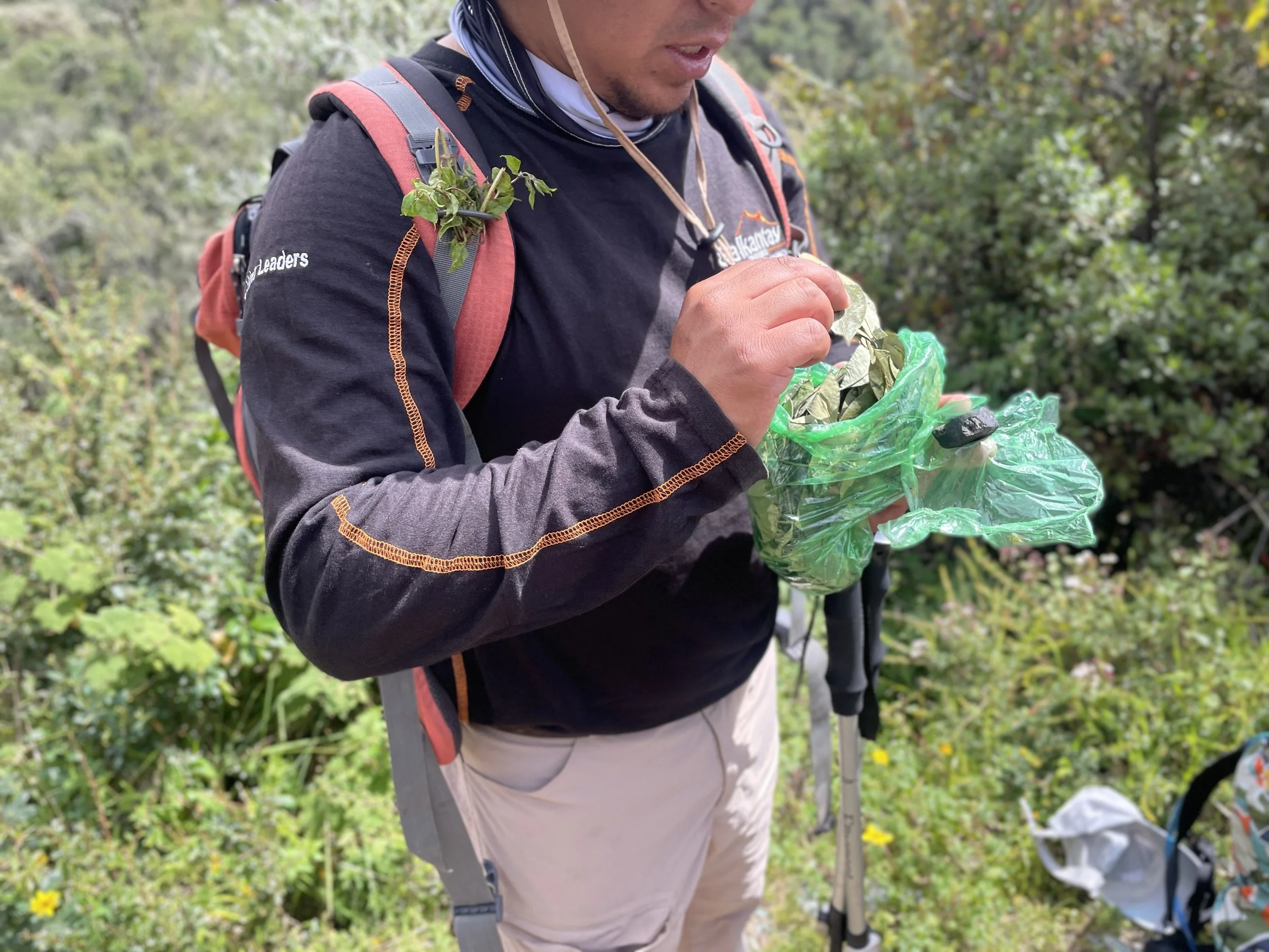
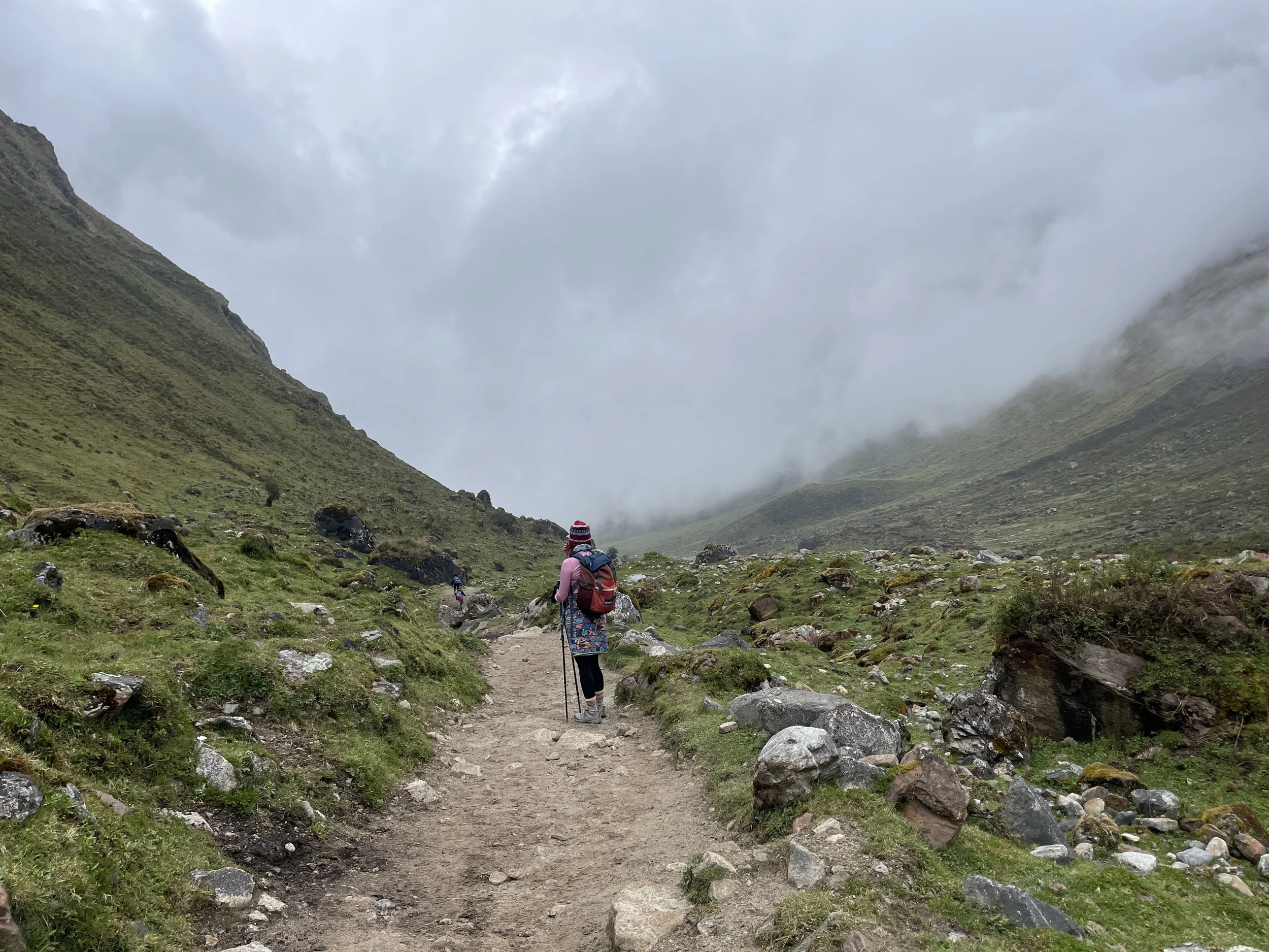
Our hike started with a moderate uphill section that instantly got all of us huffing and puffing because of the altitude. I thanked Diamox over and over in my head because I’m pretty sure I wouldn’t have been able to do this section (nor the rest of the trip) without it. The hike was insanely beautiful! Along the way, our guide Carlos told us more about the Andes and showed us mint growing on the trail, which is good for relieving stomach aches and aiding in digestion. We also got to taste the famous coca leaves, a mild stimulant which gives you energy and helps deal with altitude sickness. Everywhere we went, people chewed on coca leaves. It was a staple for farmers working long hours outside. I personally wasn’t a big fan of chewing the leaves, but I loved the tea version.
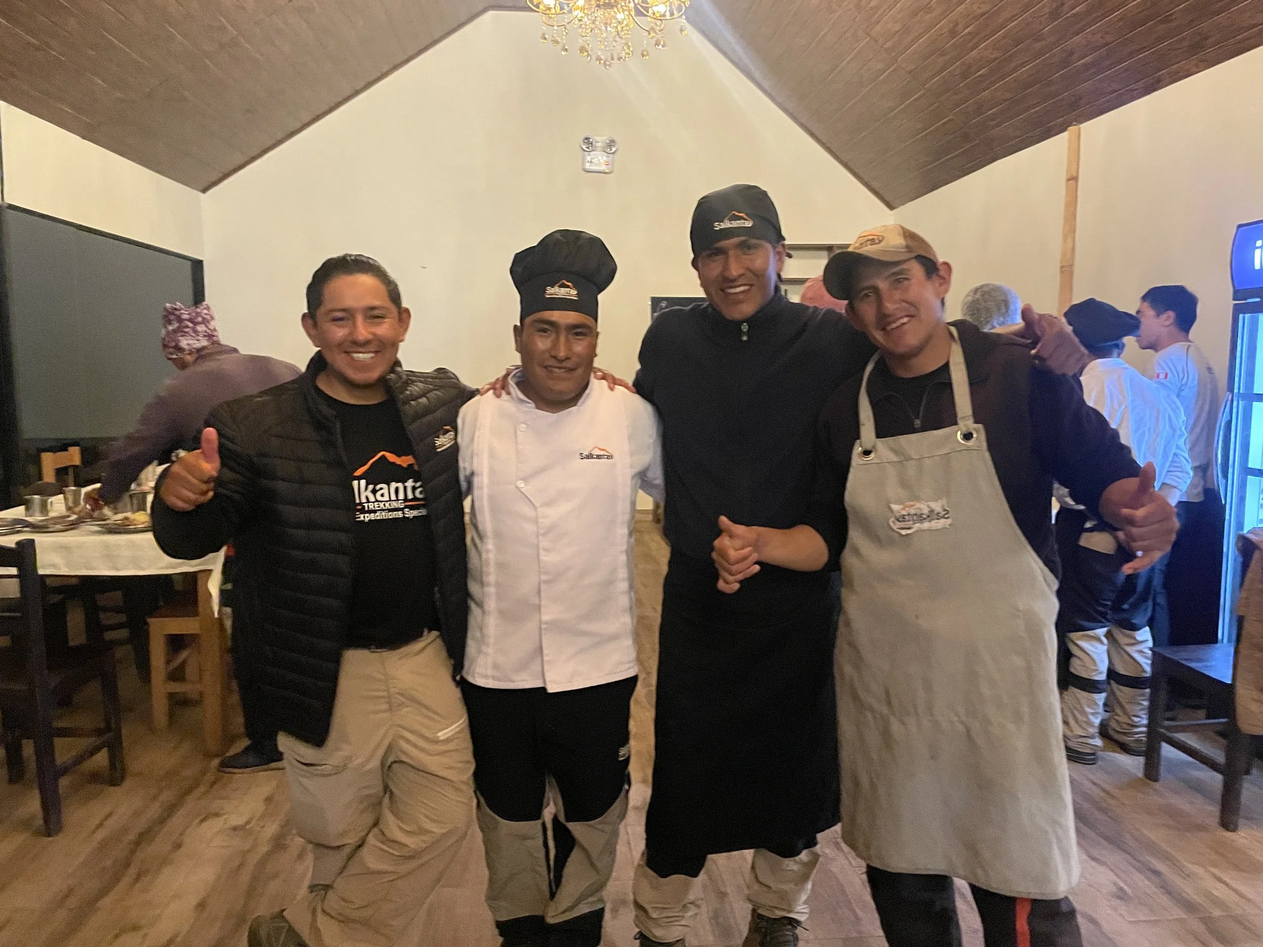
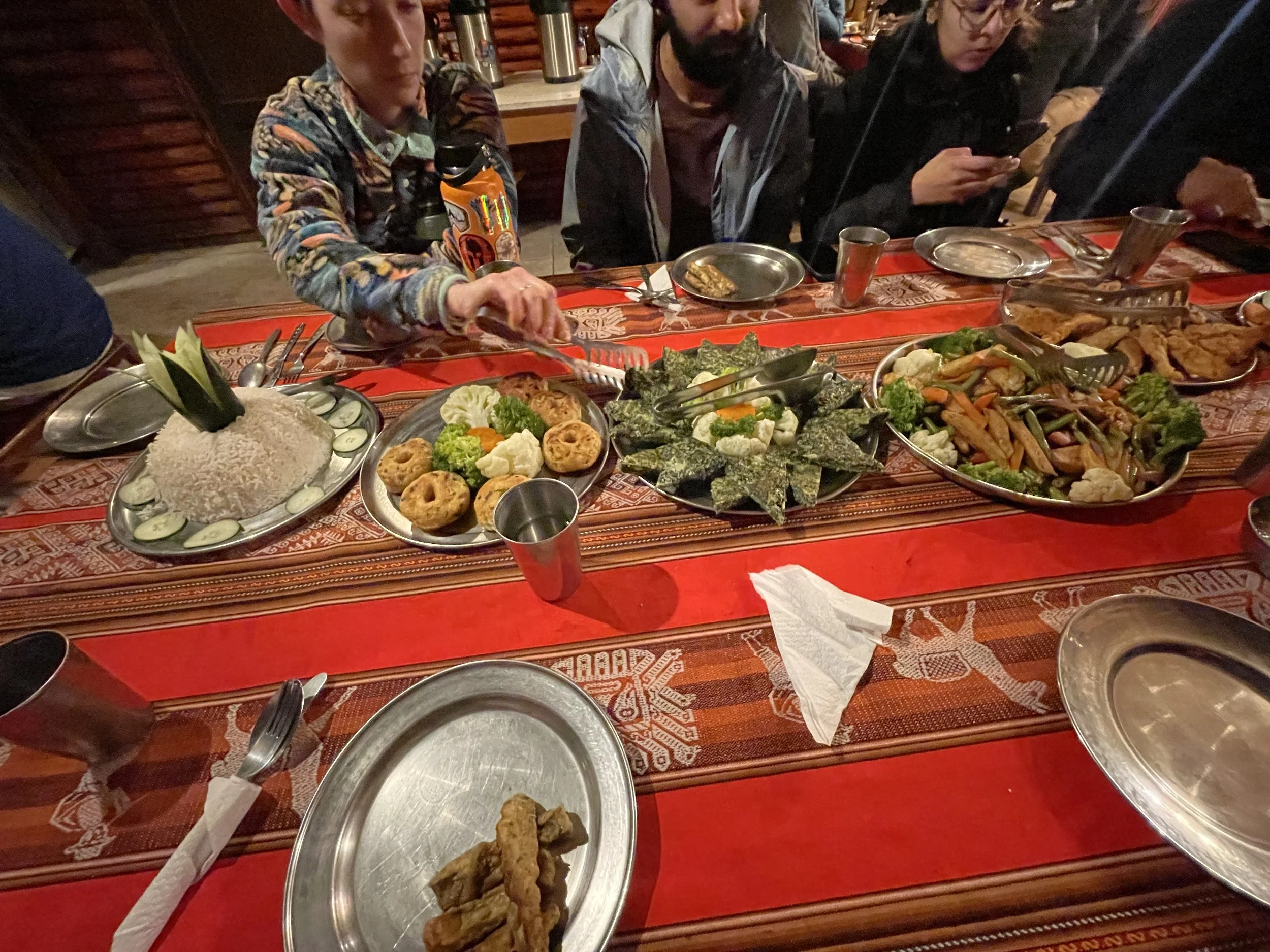
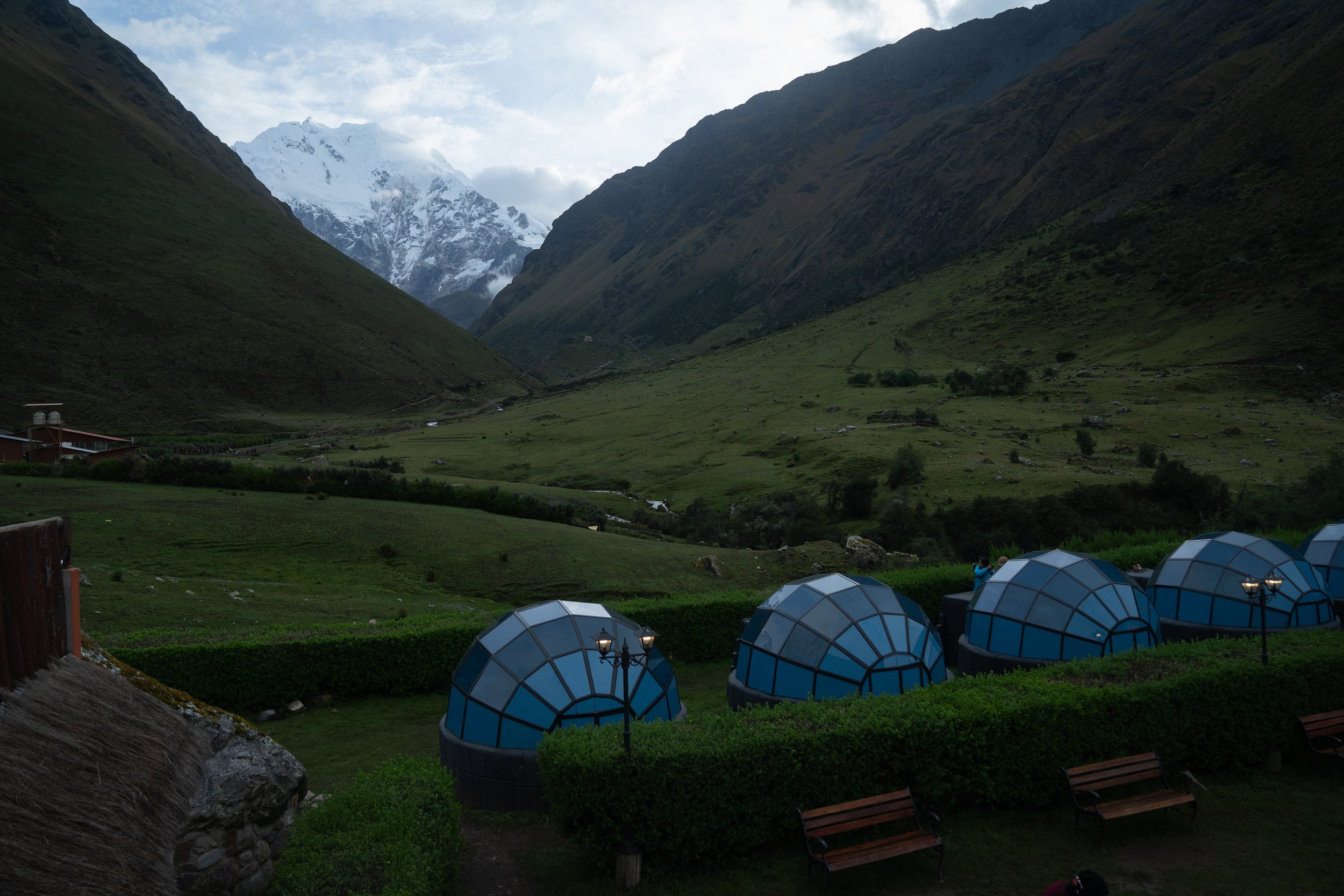
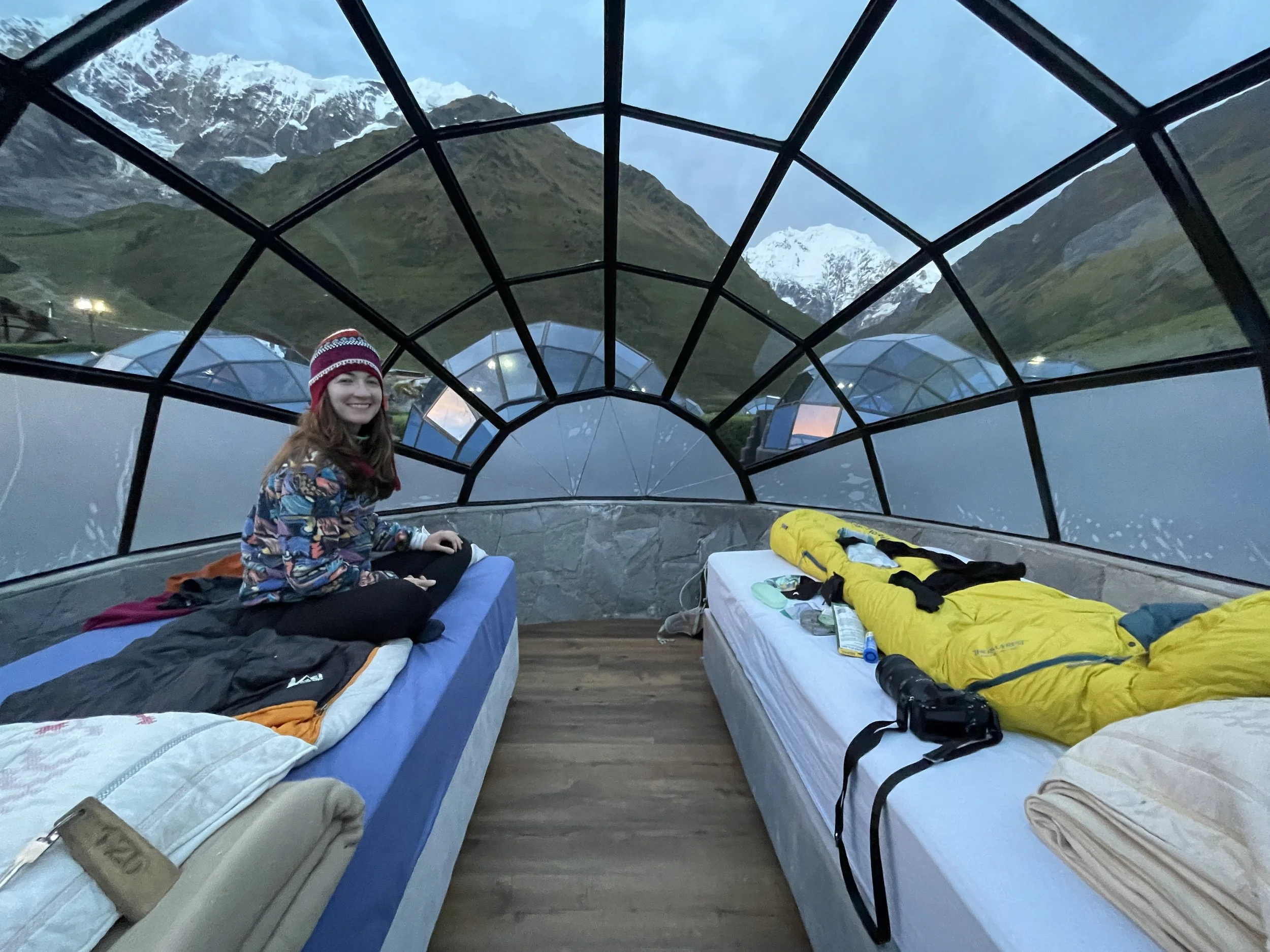
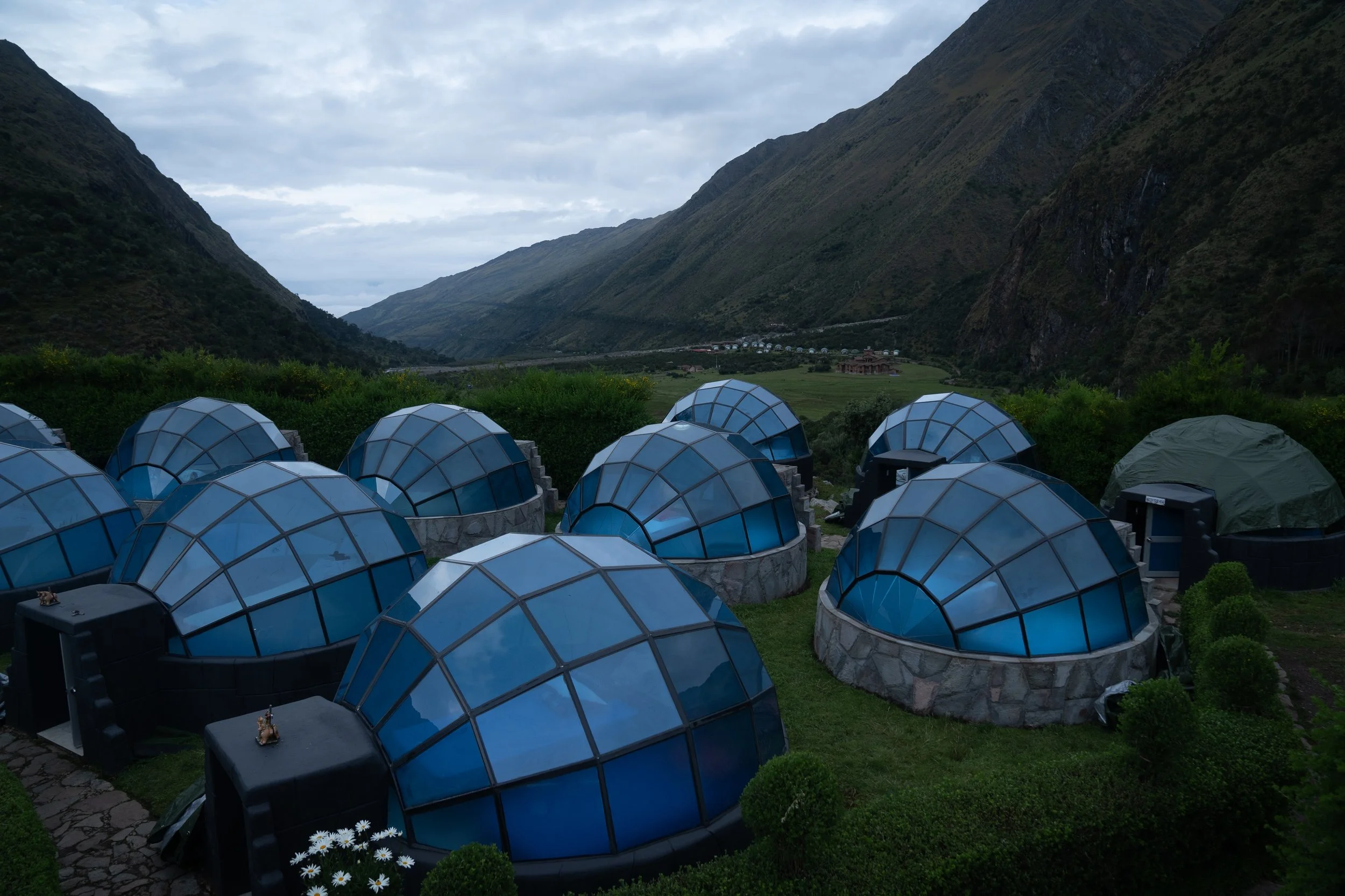
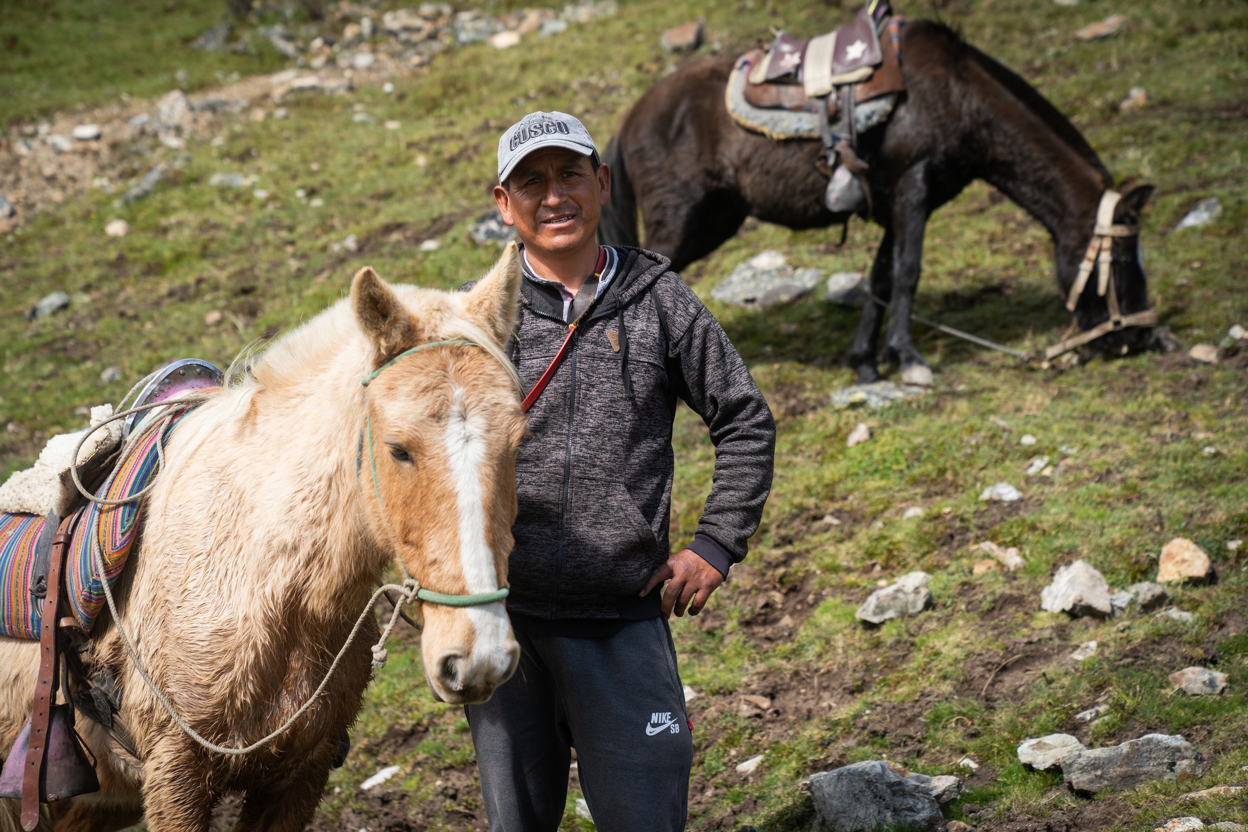
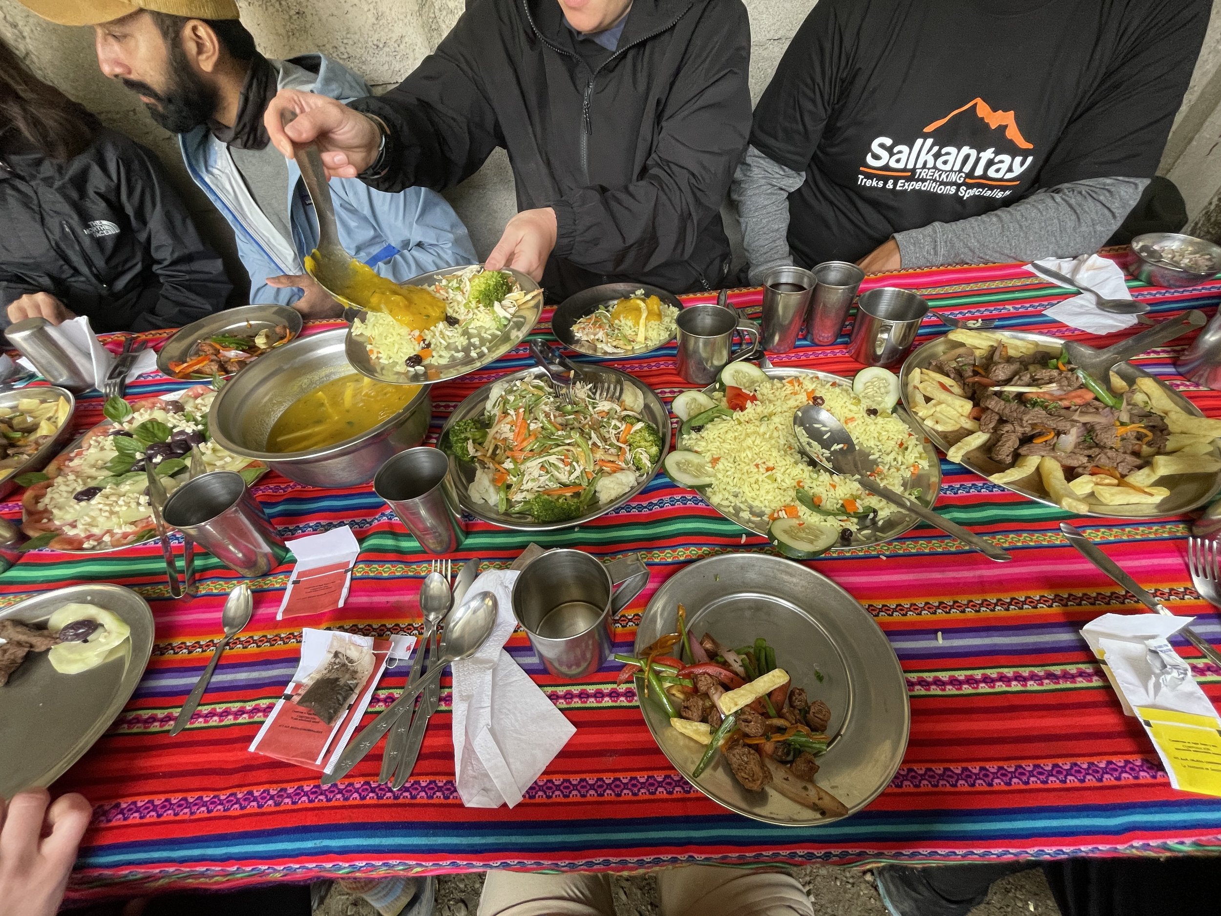
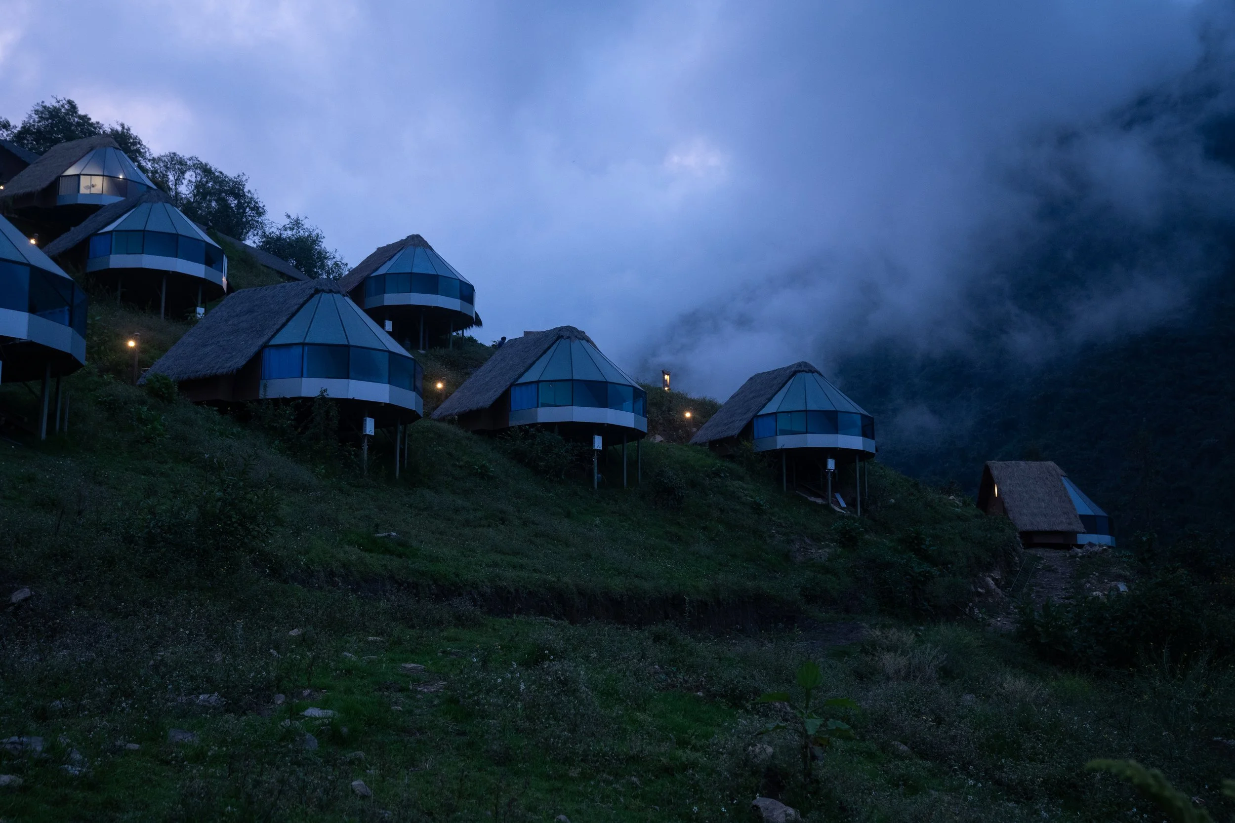
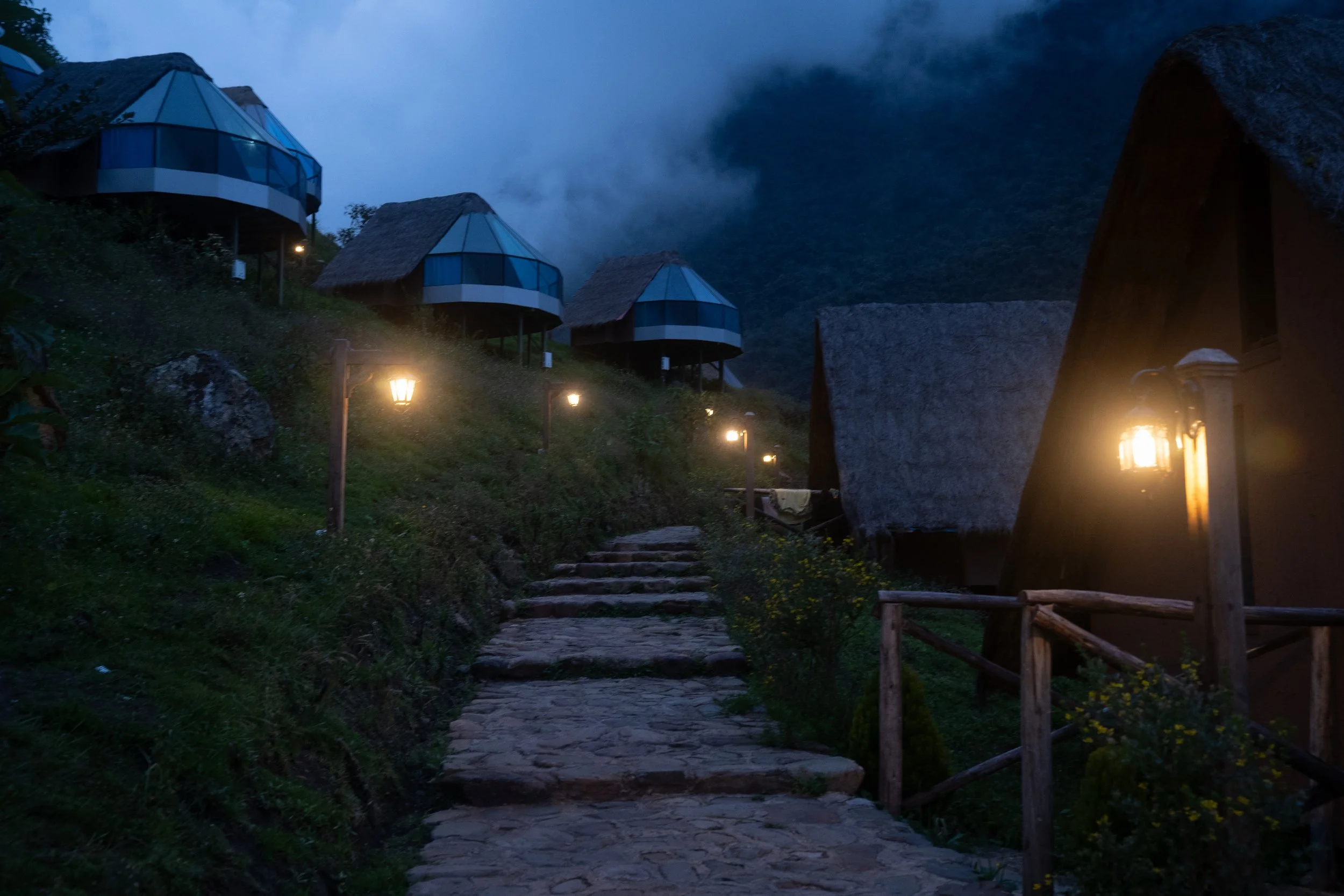
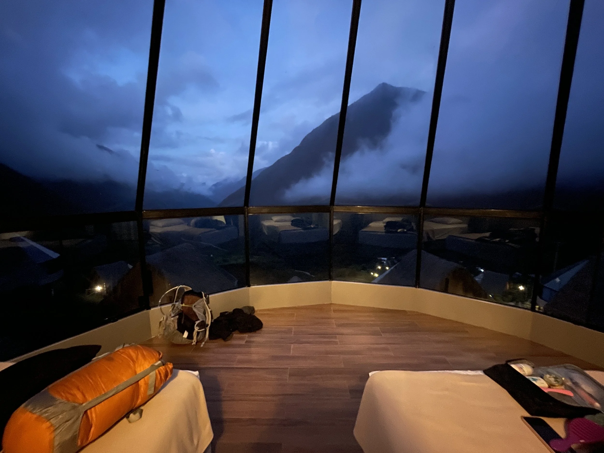
The day's hike ended in Soraypampa, where we’d be staying for the night in glass igloos at Sky Camp. We immediately went into our first official lunch of the trip and man did it exceed my expectations. Our chefs Beltran and David, with the help of the horseman Luis, prepared the most elaborate meal in the middle of the mountains, complete with appetizers and desserts. I’m pretty sure I overate during most meals of the trek.
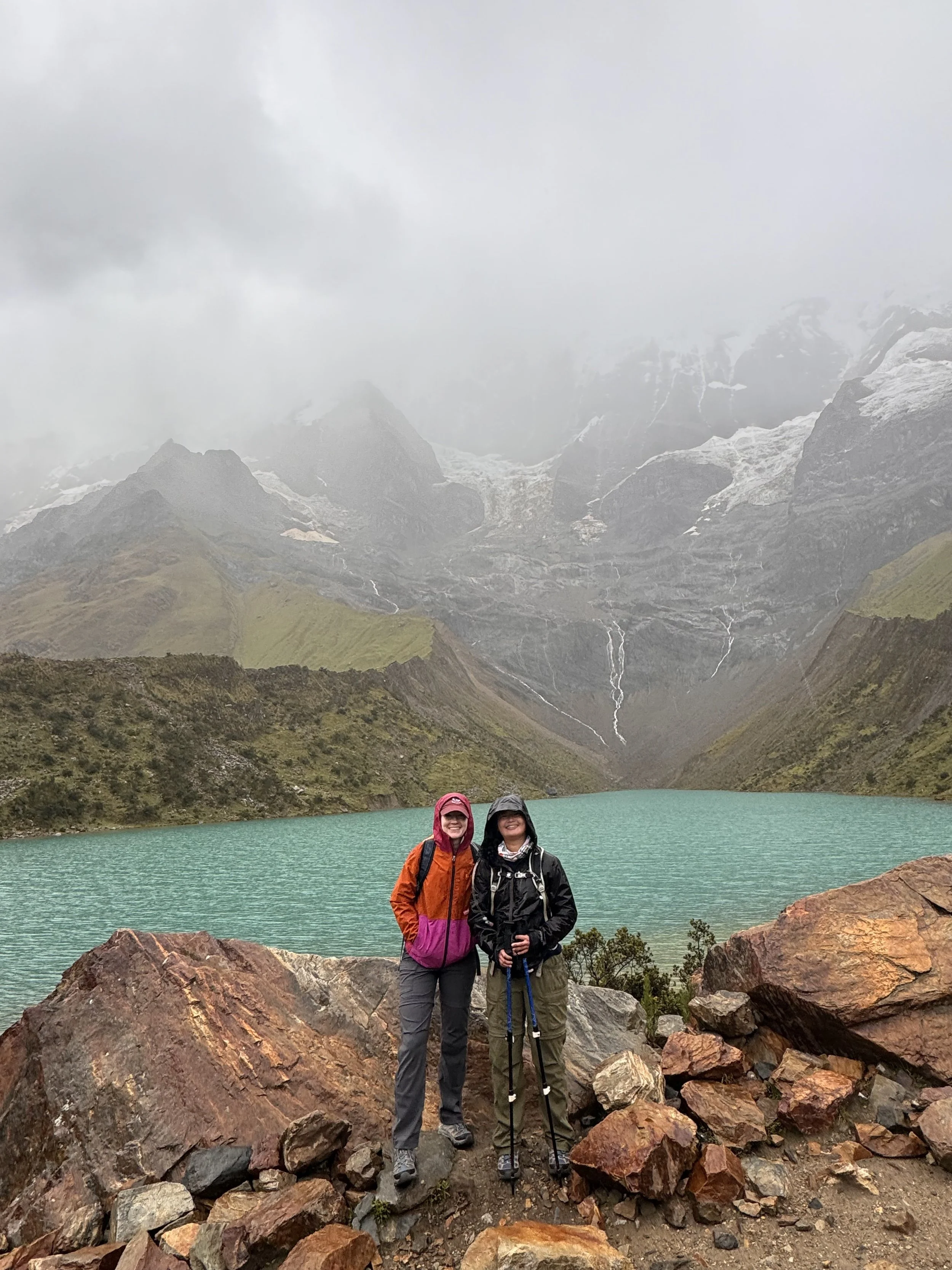
We rested for a little after lunch and then came a big test of how we’d handle the combination of a steep (like really steep) incline plus high (like very high) altitude. We hiked from our campsite to Humantay Lake which is about one mile one-way. Our guide anticipated it’d take us about one hour to get up to the lake. As we started hiking, he quickly realized he had guessed wrong. That one mile took me two hours to hike. We went from 12,861 ft. to 13,969 ft., so about 1,000 ft. of elevation gain. As someone who had never been above 12,000 ft., every step I took was a new accomplishment for me. But wow was the air thin and I struggled. By the time we got up to the lake, I was so relieved and proud of myself, and also very cold. It was raining/hailing and kind of foggy. I spent about 5 minutes at the lake before quickly booking it down the trail toward the warm lodge that offered coziness and hot tea. That descent only took me 30 minutes.

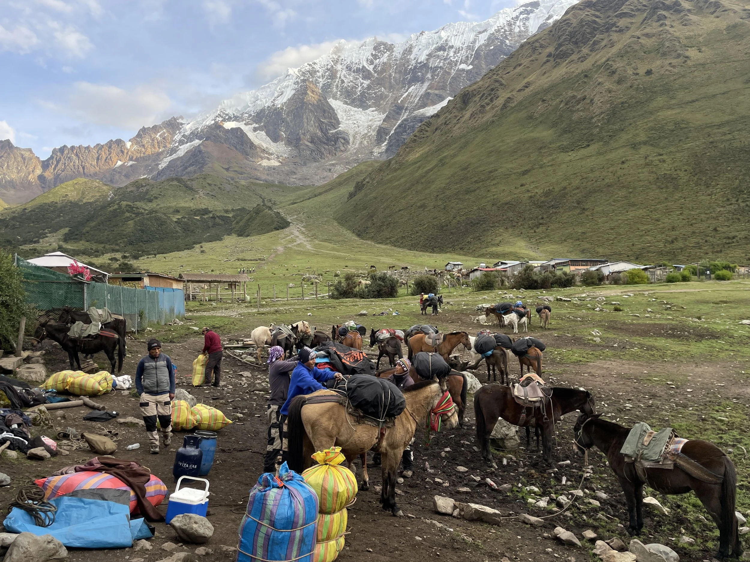
During dinner, Carlos walked us through the next day’s agenda. It was going to be the big push to Salkantay Pass, and would be more strenuous than the hike to Humantay Lake. We’d have to go up about 2,000 ft over 4.4 miles, and we’d need to do it in about 4 hours in order to stay on schedule. Eek. Carlos told us that if we wanted to, we could hire a mule to take us up to the Pass. For those that struggled with the Humantay Lake hike (like me), he strongly recommended we take a mule. My heart started to sink. I had envisioned myself being able to walk myself up to the Pass, and being able to say I hiked the full trek on my own two feet. Taking a mule felt like cheating. It felt like admitting I was weak. I was disappointed, frustrated at myself (“why can’t my body just do what I want it to do?”) and envious of others who could hike at high altitudes easier than I could. But given that it took me two hours to go one mile the day before, I knew that taking a mule was the right choice.
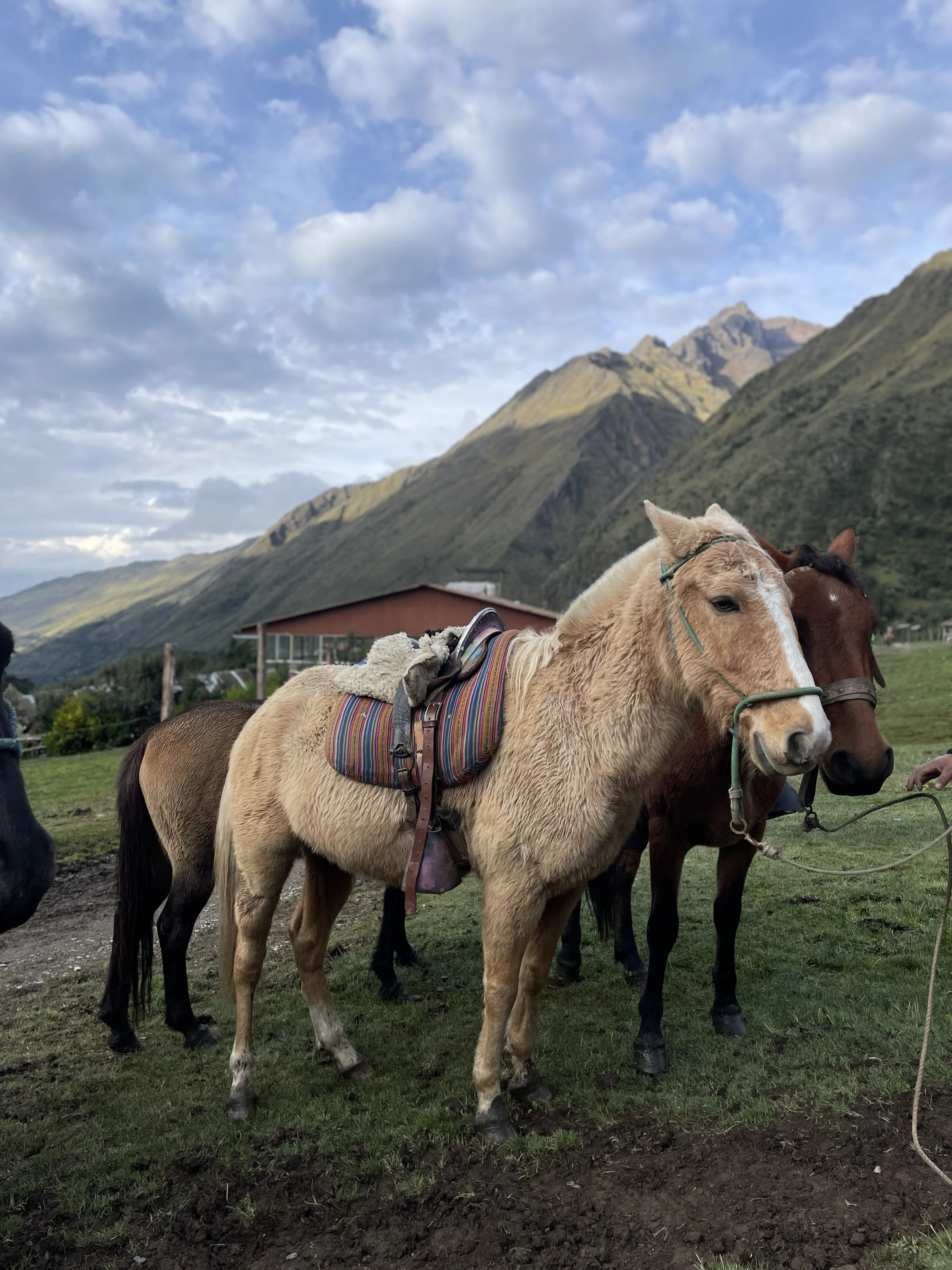
That night, I had to really fight my inner critic and try to turn all the negativity I was feeling into positives. It was hard. But the reality of it was, I knew I could hike up to the Pass but it would’ve taken me longer than four hours which wasn’t an option. There were others taking a mule so I’d have company and as a kid I loved riding horses when I got the chance, so I knew that I would enjoy the experience. I just had to change my mindset from “I have to ride this mule because I’m too (insert negative criticism here)” to “I’m choosing to ride this mule and it’s going to be a fun, unique adventure.” Yes, it wasn’t what I had pictured I’d be doing, but learning to be adaptable is what travel is all about right? And the mules seemed to be well taken care of by the horsemen so that also made me feel better. As the night came to a close, I felt more sure and more excited about my decision to ride a mule. I was proud of myself for not letting this change take a negative toll on my mindset.
Challacancha to Soraypampa (Sky Camp)
Elevation min: 12,067 ft. (trailhead)
Elevation max: 12,861 ft.
Campsite elevation: 12,795 ft.
Total Ascent: 897 ft.
Total Descent: 118 ft.
Distance: 4.63 miles
Duration: 3 hours, 7 minutes
Soraypampa (Sky Camp) to Humantay Lake
Elevation min: 12,861 ft. (campsite)
Elevation max: 12,969 ft. (lake)
Total Ascent: 1,114 ft.
Total Descent: 1,091 ft.
Distance: 2.5 miles
Duration: 2.5 hours
DAY 2 - SORAYPAMPA TO COLLPAPAMPA
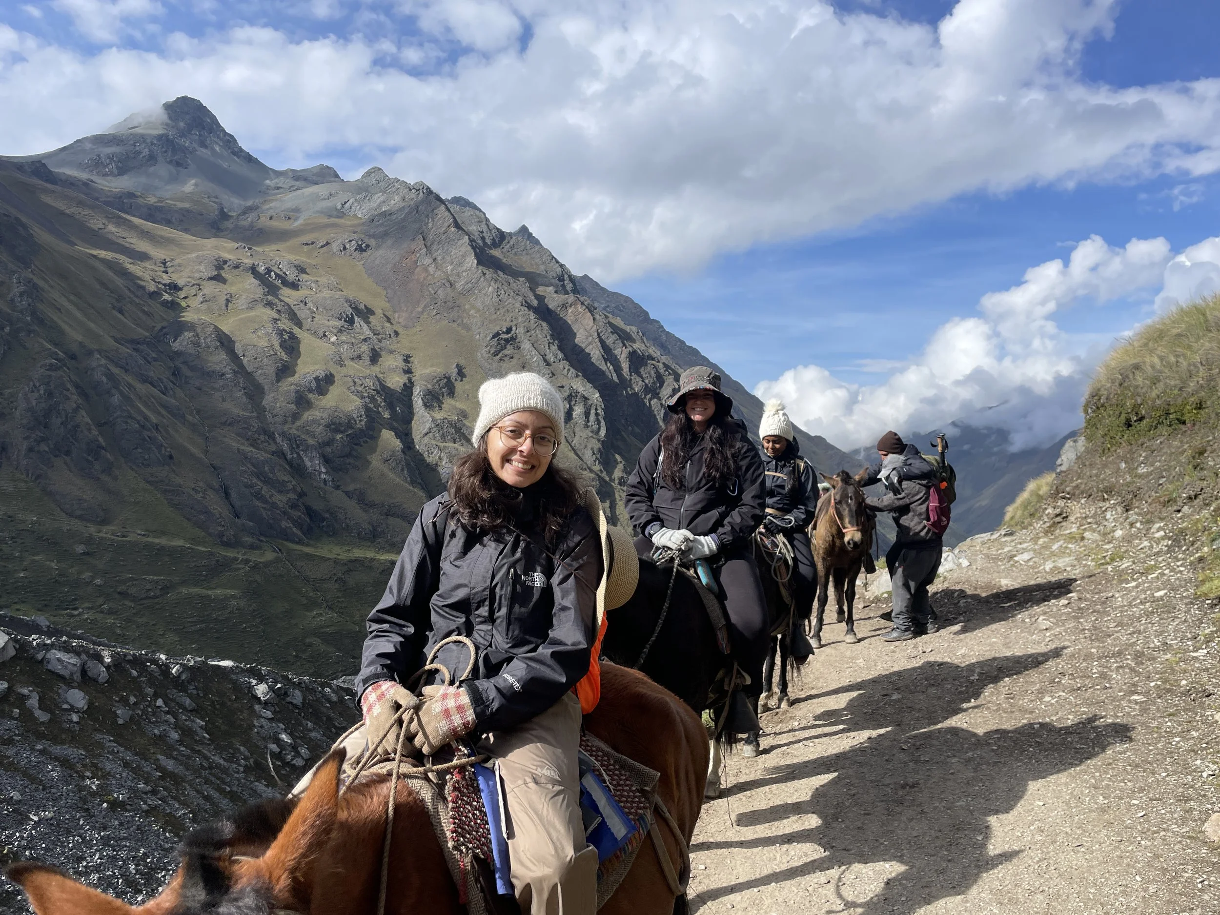
Mules are the offspring of a donkey and a horse. They get their athleticism and larger body from a horse, and intelligence and strength from a donkey, without as much of the stubbornness that donkeys possess. They are more sure-footed than horses, which is crucial on rocky terrain like in the Andes mountains.
Riding the mules took us about 2 hours to go up the 4.4 miles to Salkantay Pass. It turned out to be so much fun to ride a mule! It gave me a chance to not worry about breathing, and just take in the scenery and the experience. We crossed streams, went up narrow switchbacks, through valleys and across lots of rocky terrain. The more hikers we saw struggling, the more I was happy about my decision to ride a mule. We were guided up the trail by, funny enough, another Carlos. The mule I rode was Lucho. He loved being in front, walking right next to the cliffside, and hated going in the water. He was a cutie.
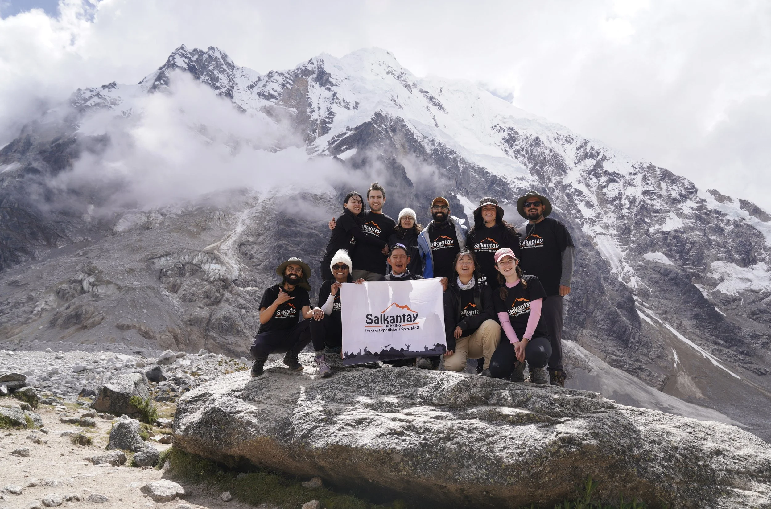
Salkantay Pass was breathtaking, literally and figuratively. The sun was out, the mountain peaks were visible, we had snacks and tea. It was a perfect morning. Carlos gave us Salkantay Trekking shirts and we celebrated being at the highest point on the trek.
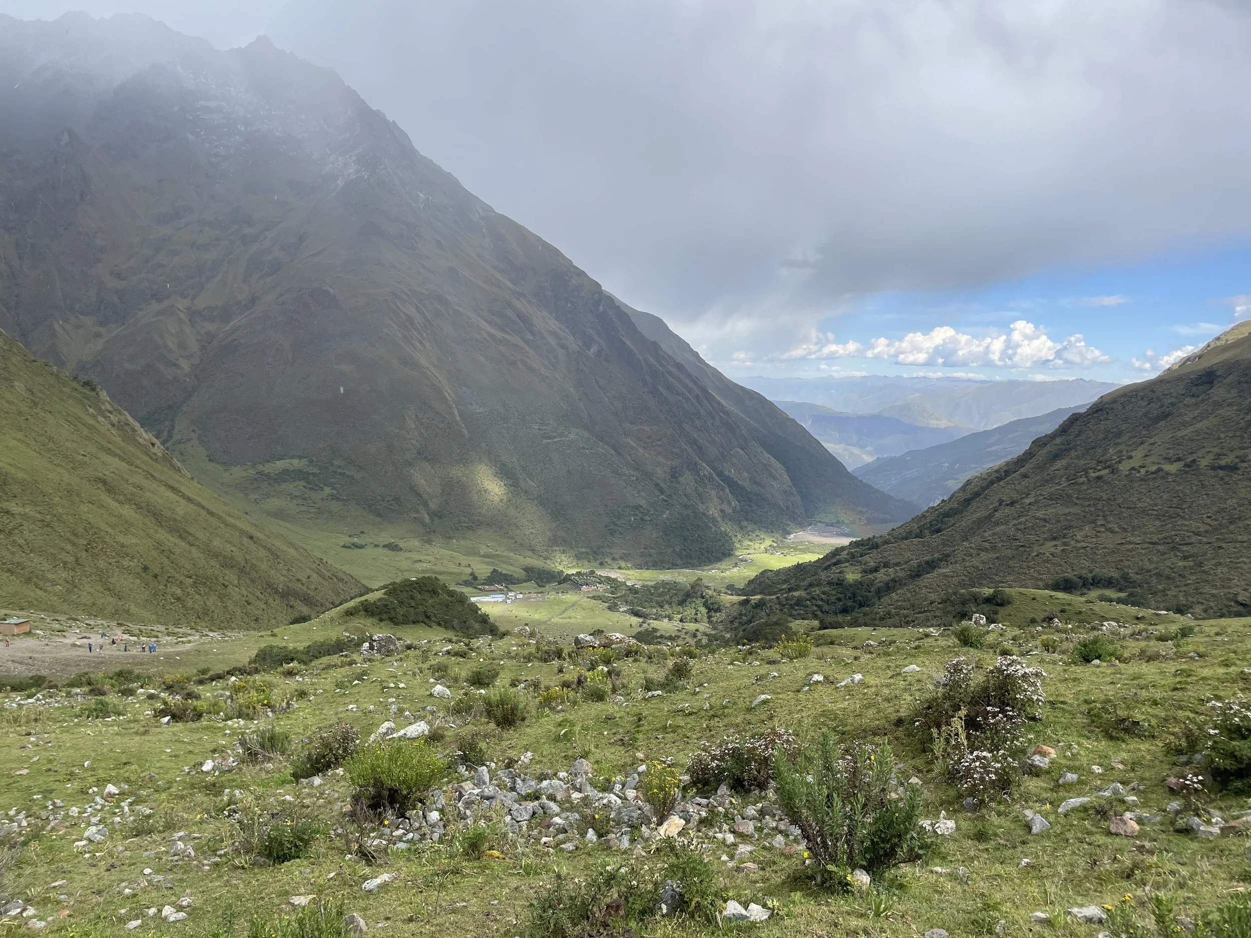
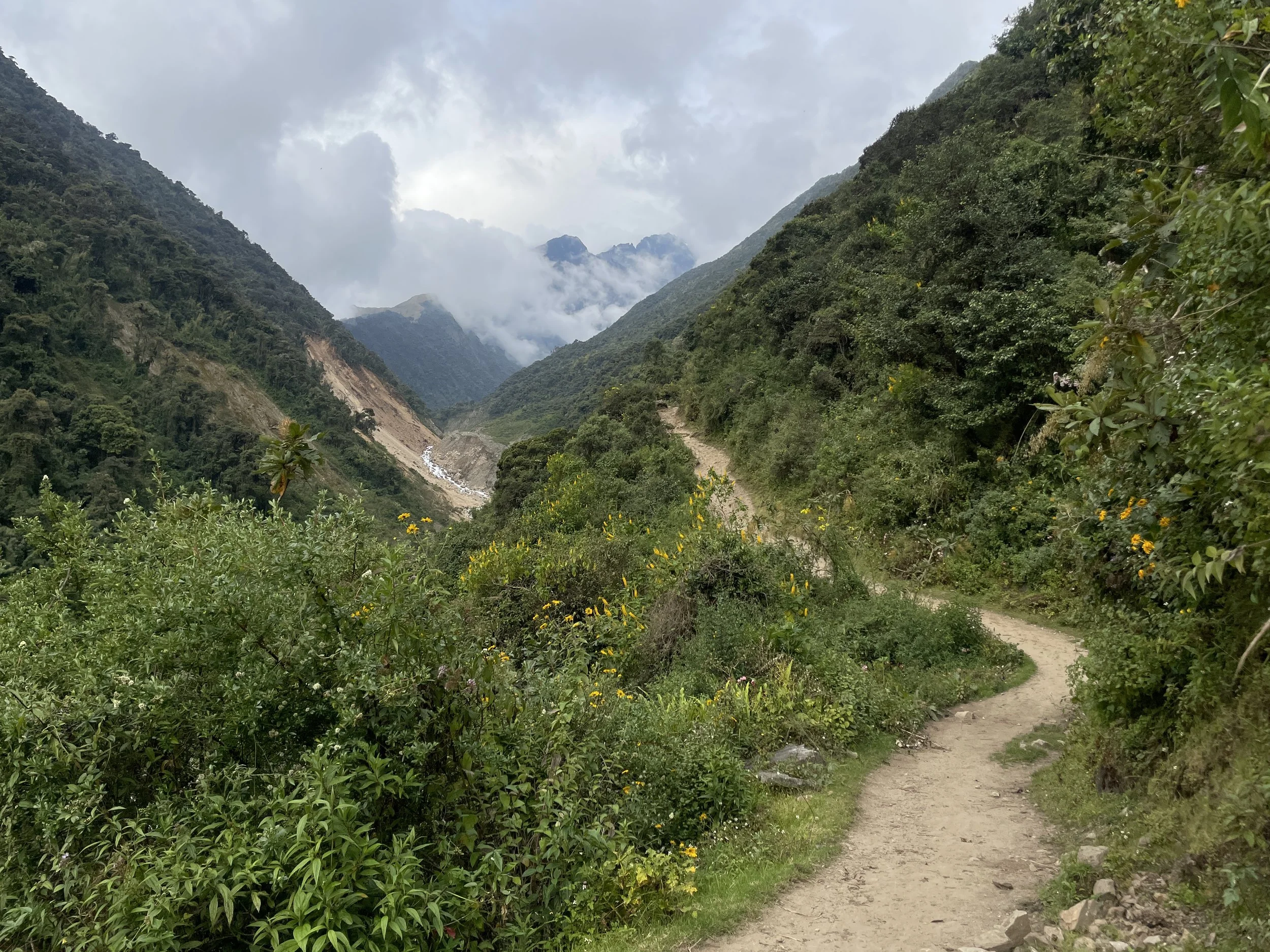
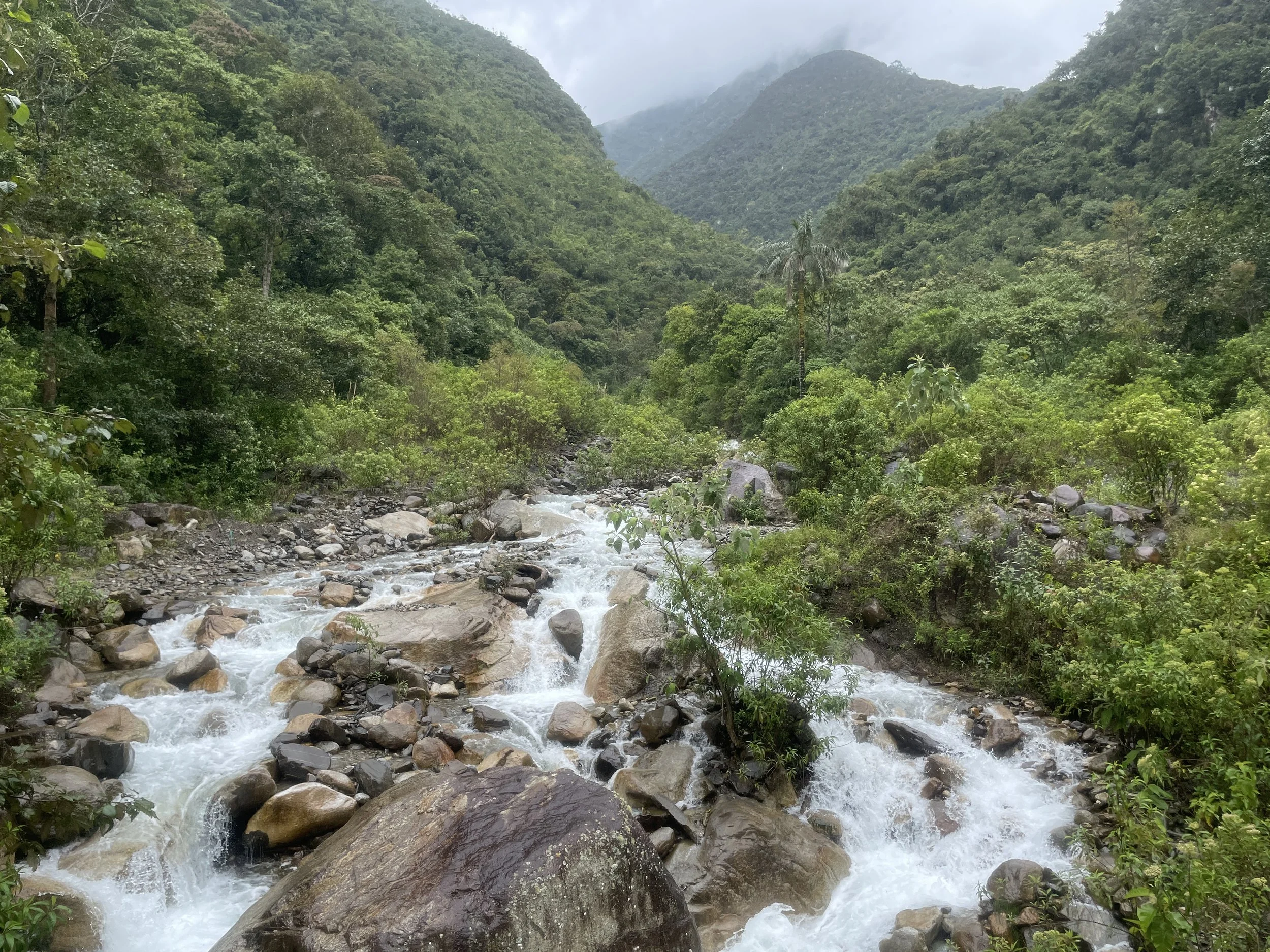
From there, it was all downhill. Literally. In about three miles alone, we dropped 2,013 ft. It was really cool to witness the landscape change from rugged, rocky mountain terrain to a lush, green cloud forest and the temperature go from dry and cold to humid and hot. I love hikes where I get to experience all sorts of terrain and climates, and this trip had it all. After lunch we did another big descent and as the elevation decreased, our moods and hiking speed increased.
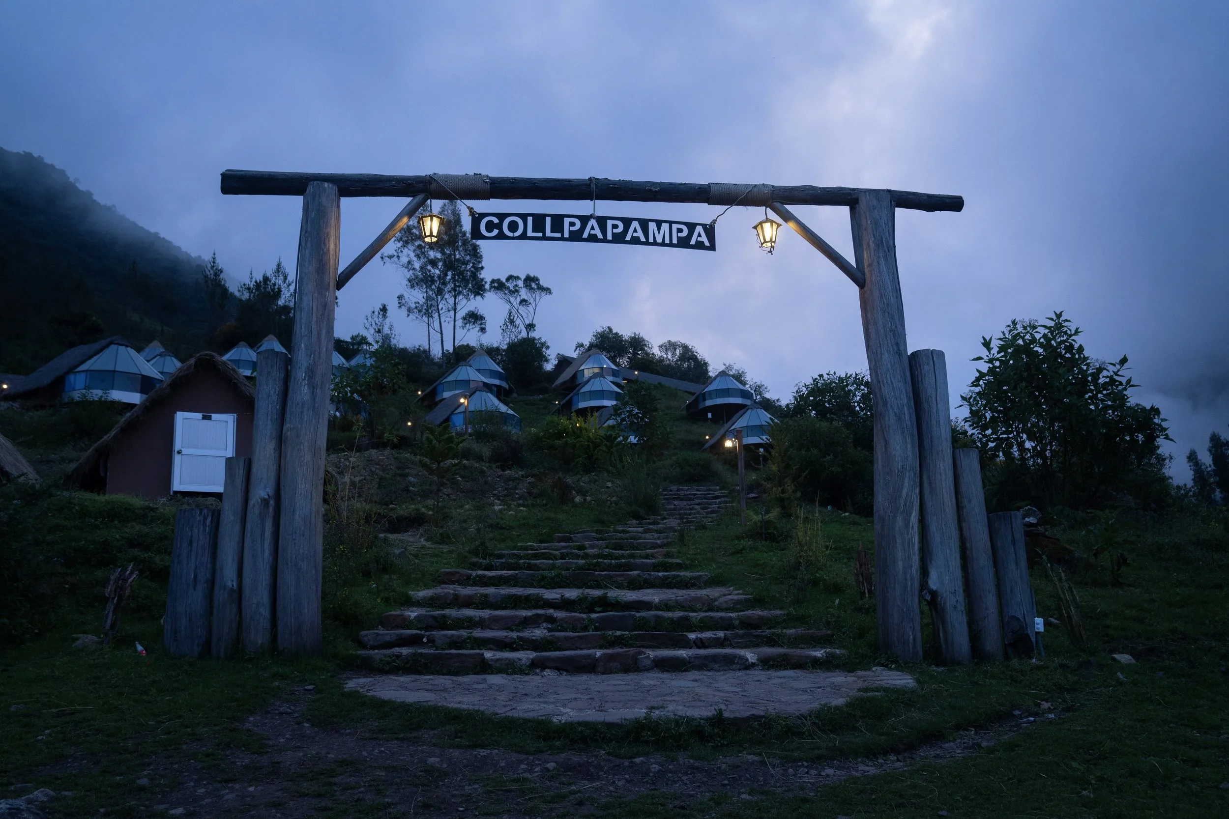
We rolled into our next camp, Mountain View, around dusk and I was mesmerized. It was the most beautiful lodging I had ever seen, even more so than the igloos we stayed in the night before. I have a lot of experience camping, but I had never really gone “glamping” (glamorous camping) before. If I had to pick one place to experience ultimate glamping, Mountain View is it. The rooms are perched on a hillside overlooking the mountains with huge glass windows so the view is incredible, and we took hot showers (!!) and had electricity and WiFi.
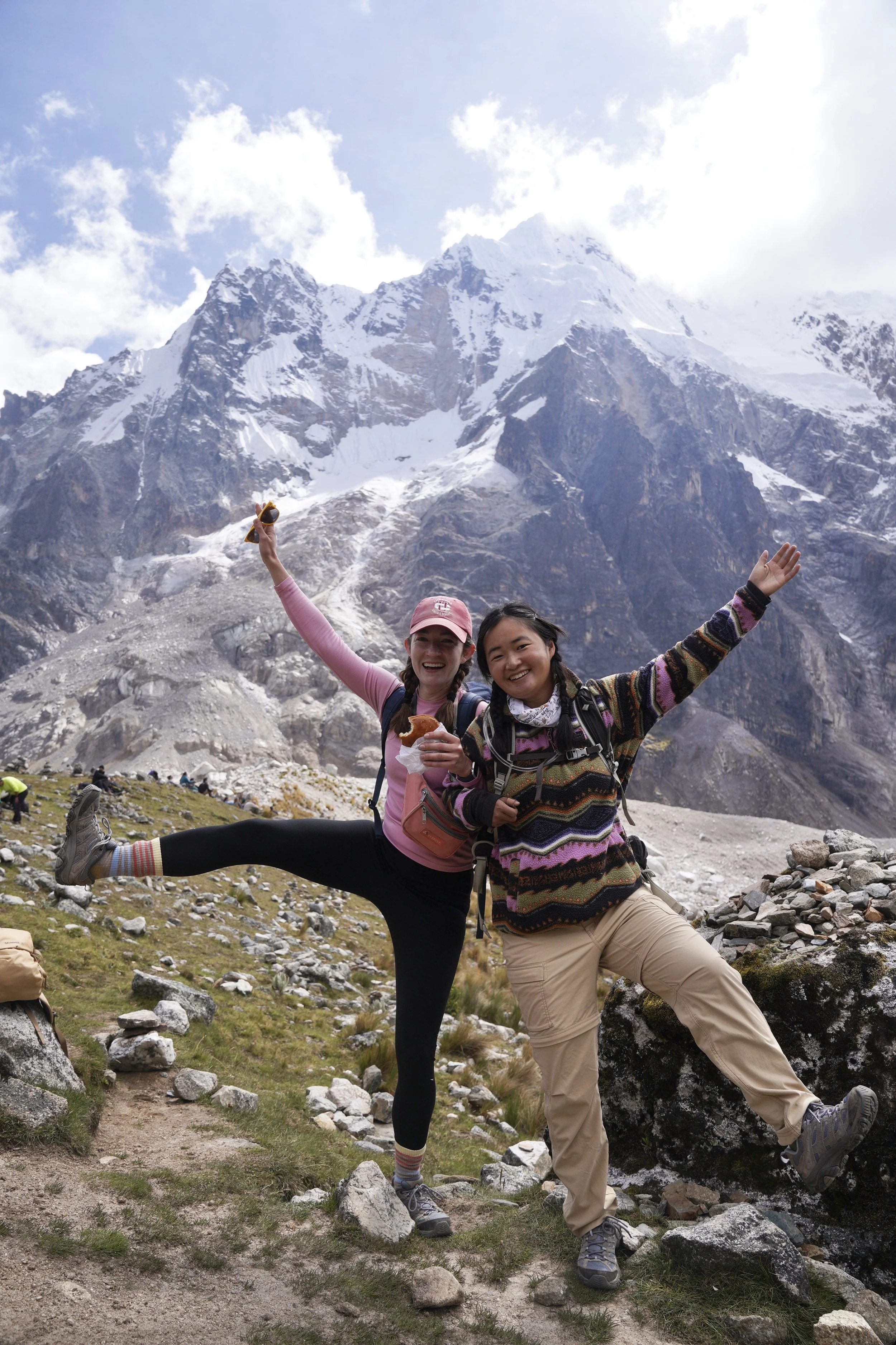
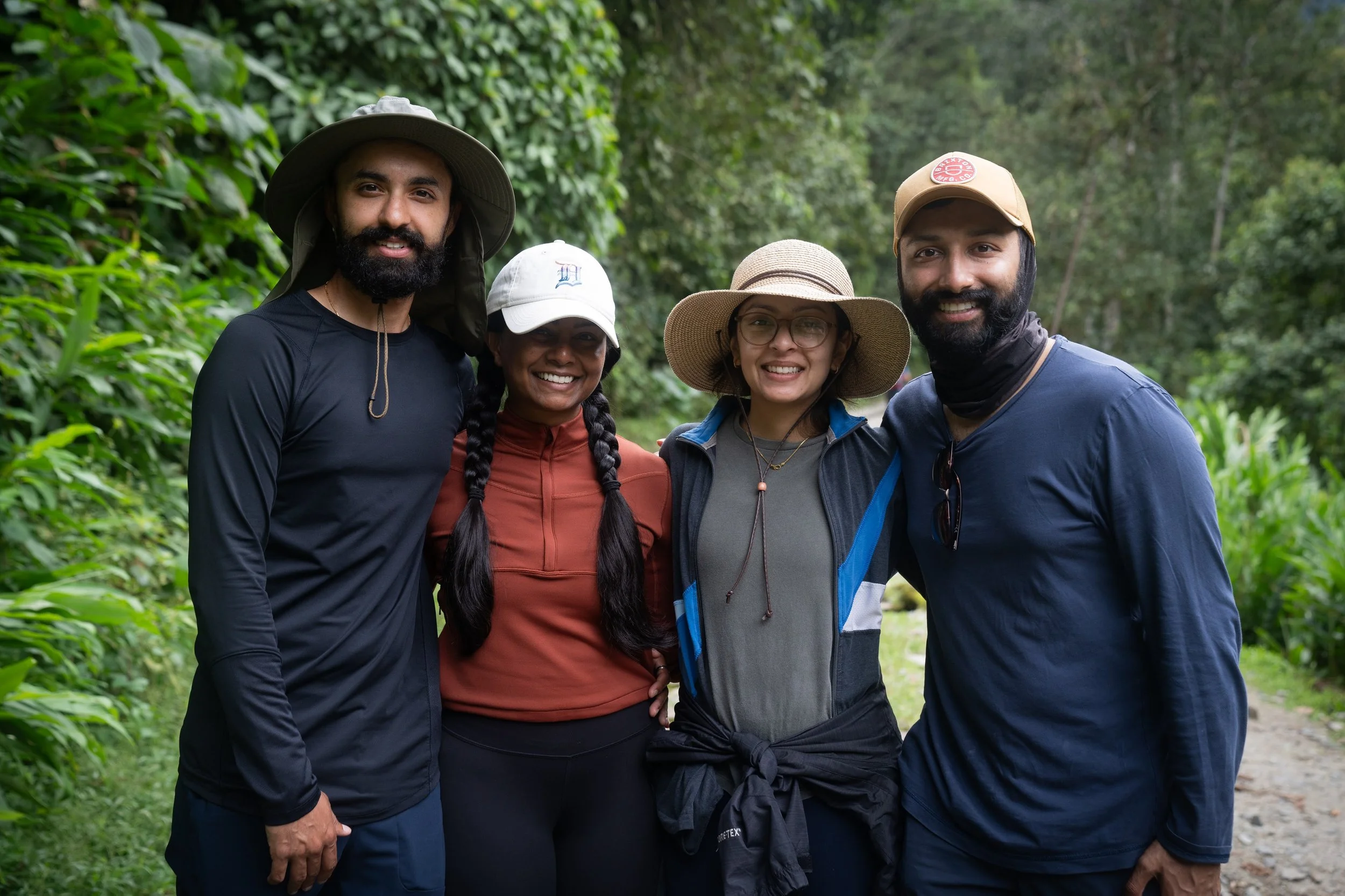
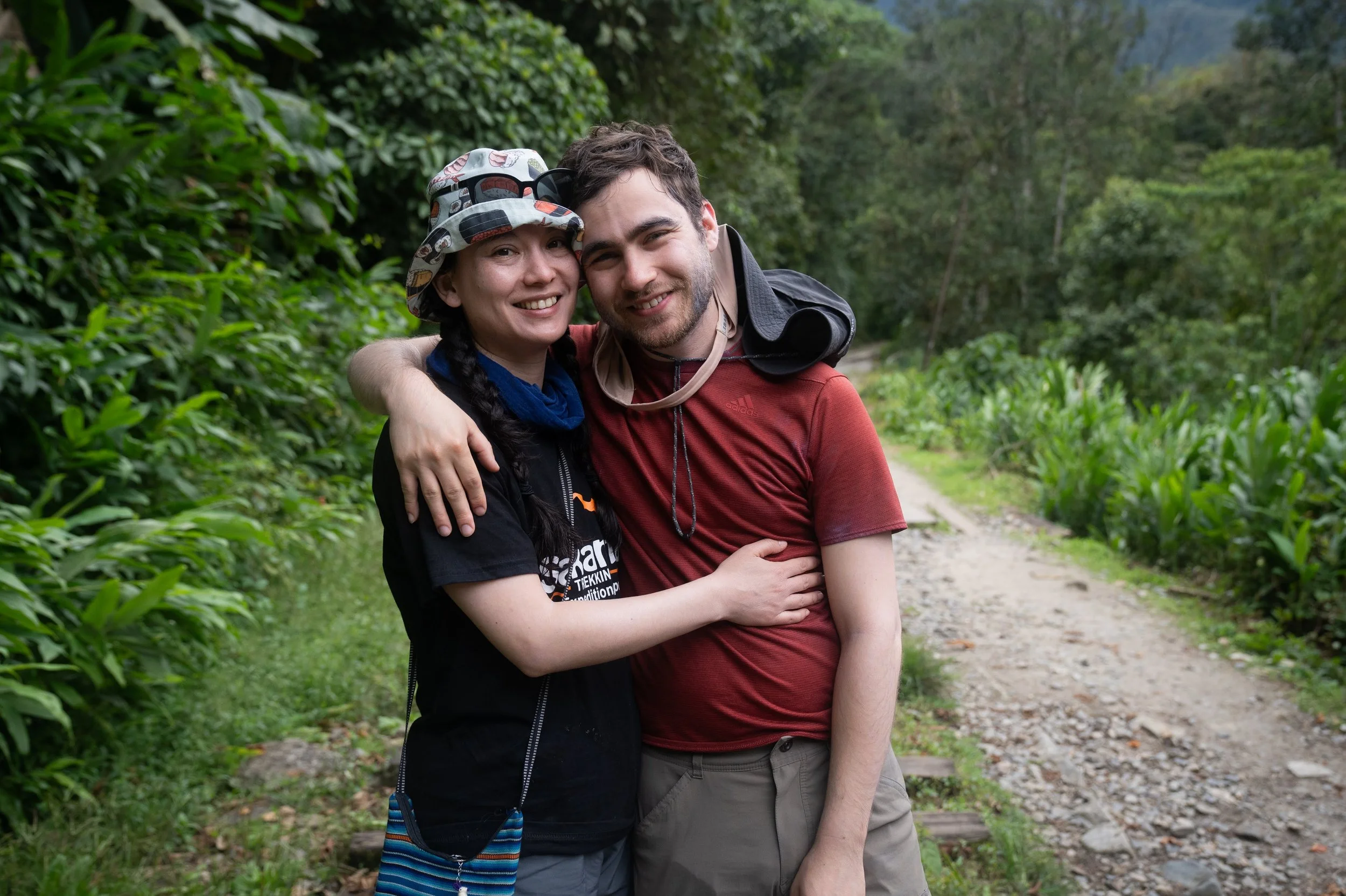
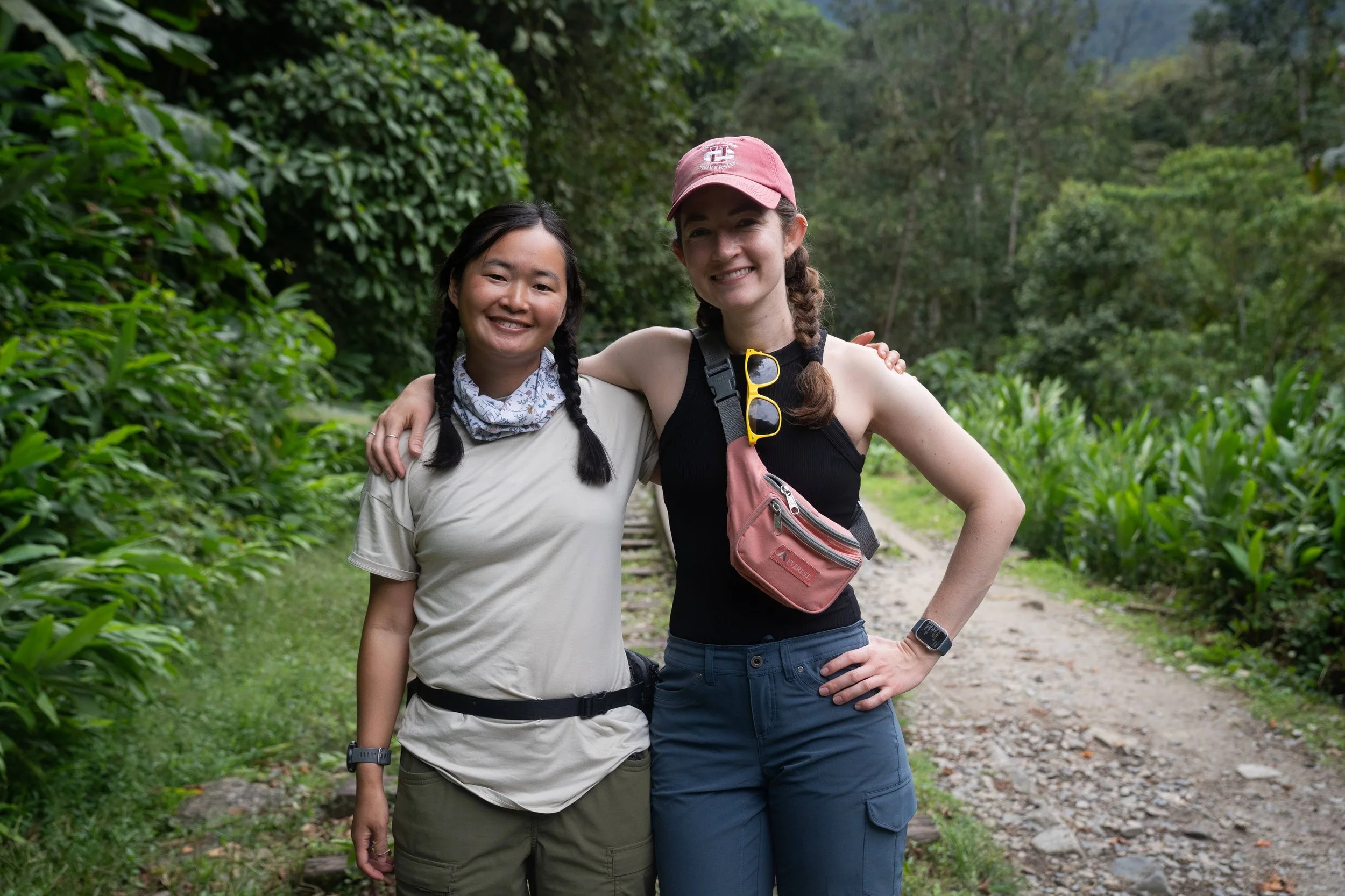
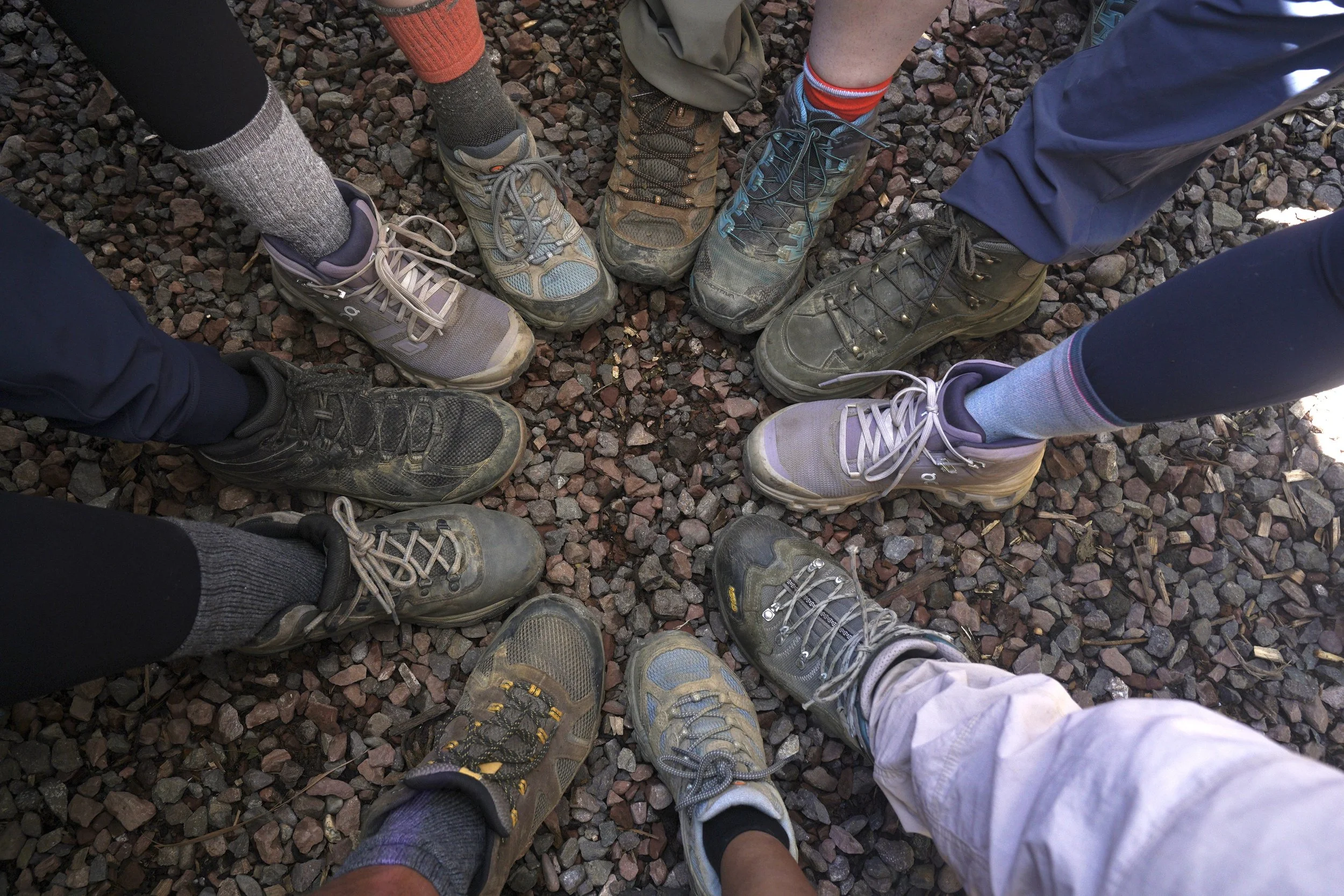
After such a long day, it was really nice to finally stop walking. My feet hurt a lot from hiking downhill so much on rocky trails. Our group was in really high spirits by the time the day was over that we coined ourselves Team Happy Face. And what a happy team we were.
Soraypampa (Sky Camp) to Salkantay Pass (via mule)
Elevation min: 12,861 ft. (campsite)
Elevation max: 15,089 ft. (the Pass)
Total Ascent: 2,228 ft.
Total Descent: 76 ft.
Distance: 4.4 miles
Duration: 2 hours, 7 minutes
Salkantay Pass to Collpapampa (Mountain View Camp)
Elevation min: 9,461 ft.
Elevation max: 15,089 ft. (the Pass)
Campsite elevation: 9,678 ft.
Total Ascent: 305 ft.
Total Descent: 5,343 ft.
Distance: 9.69 miles
Duration: 5.5 hours
DAY 3 - COLLPAPAMPA TO LUCMABAMBA
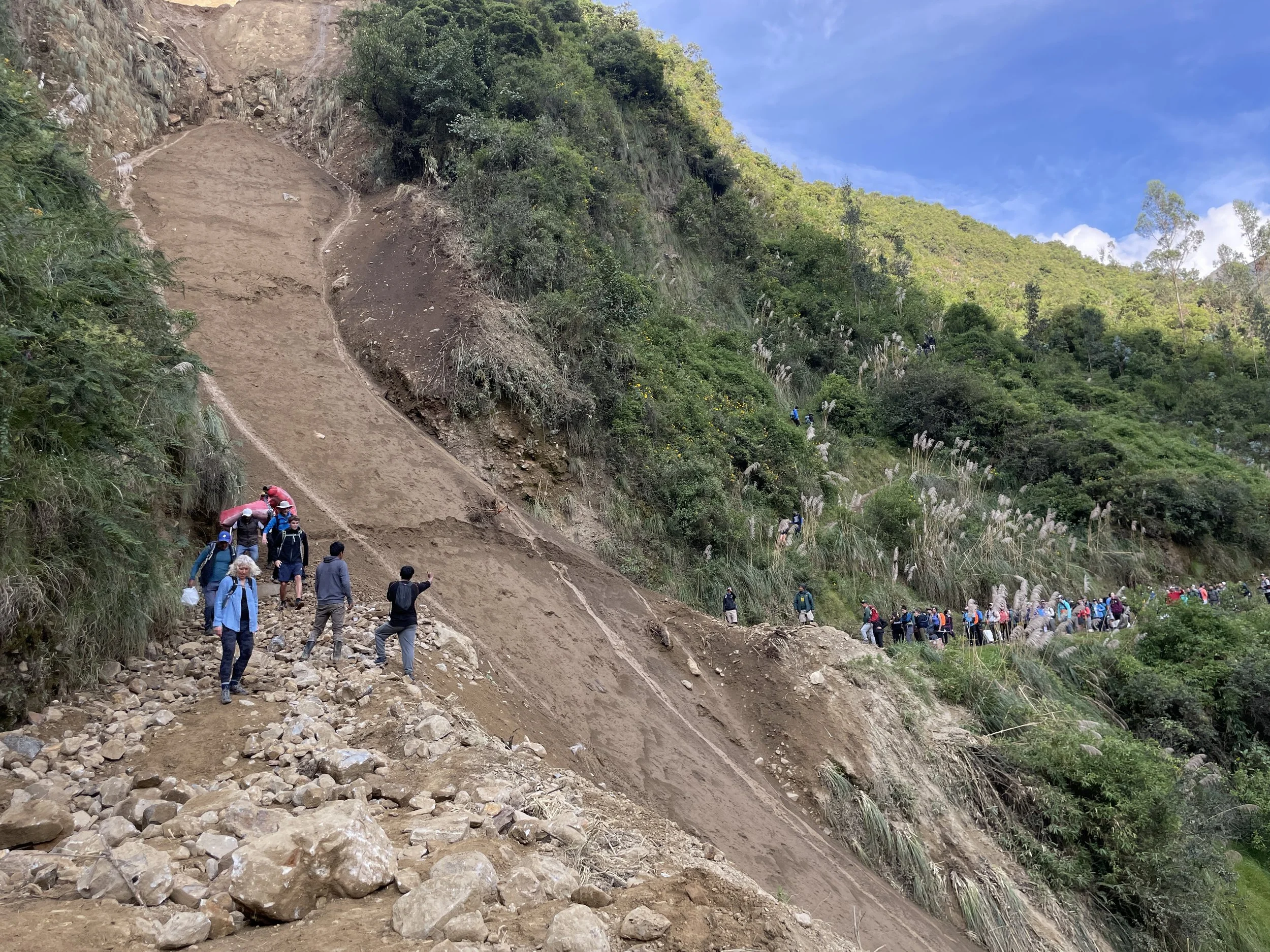
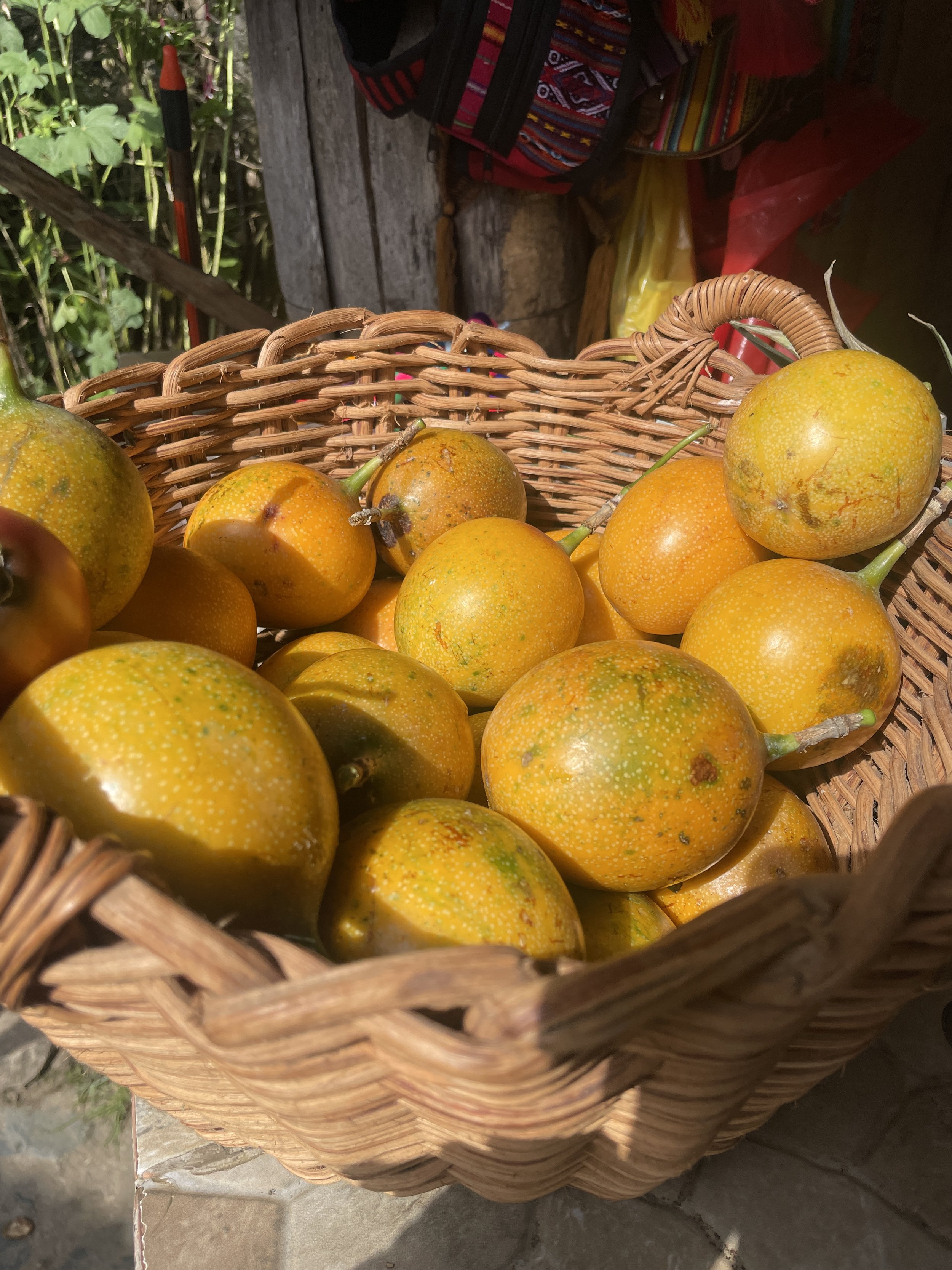
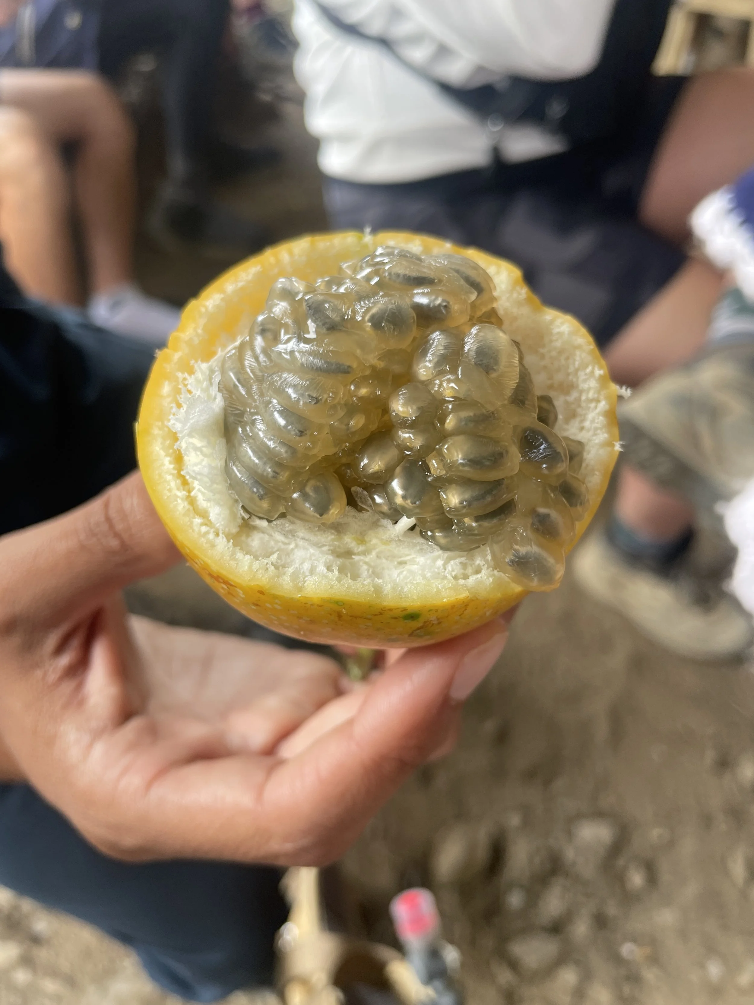
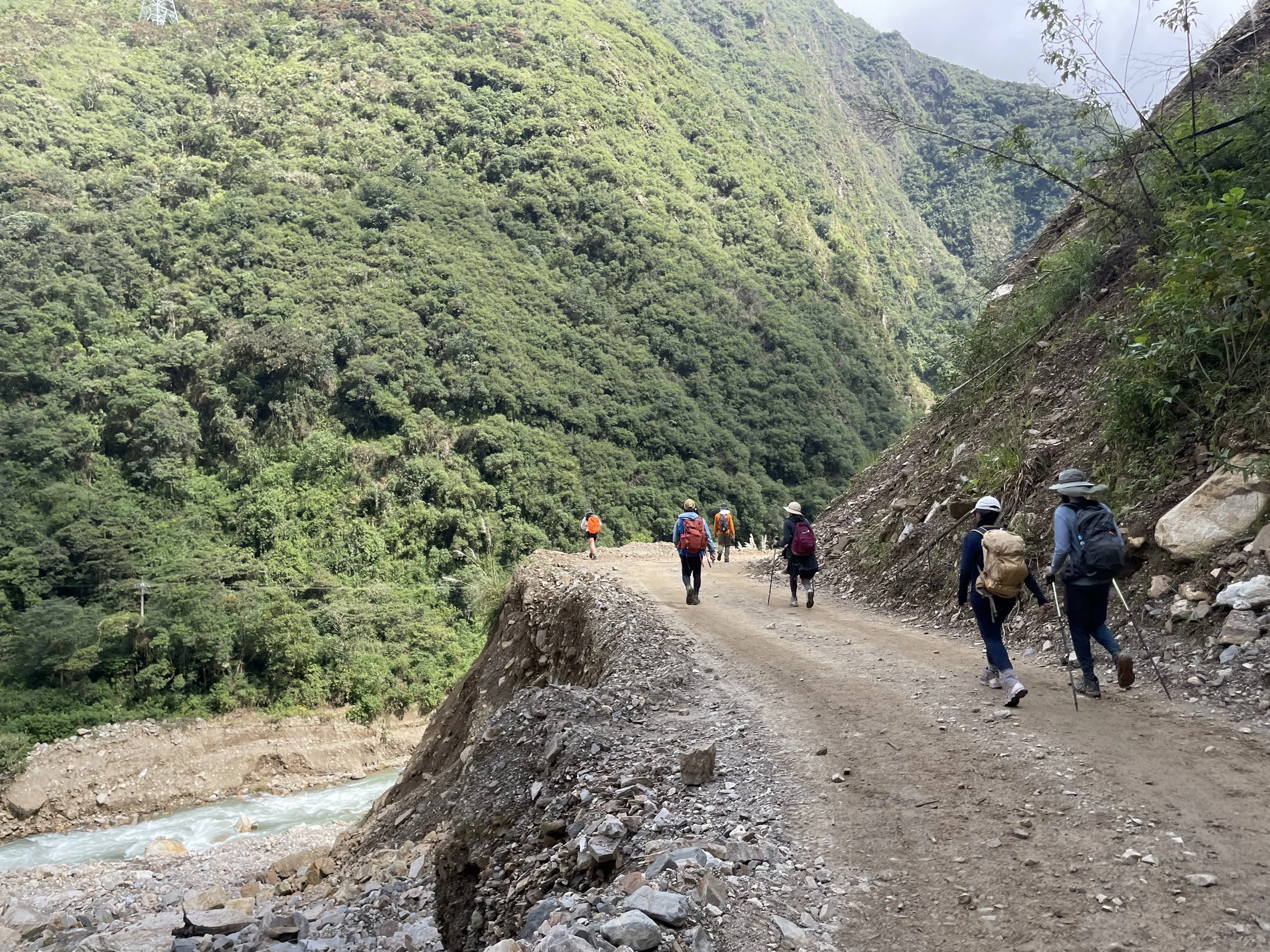
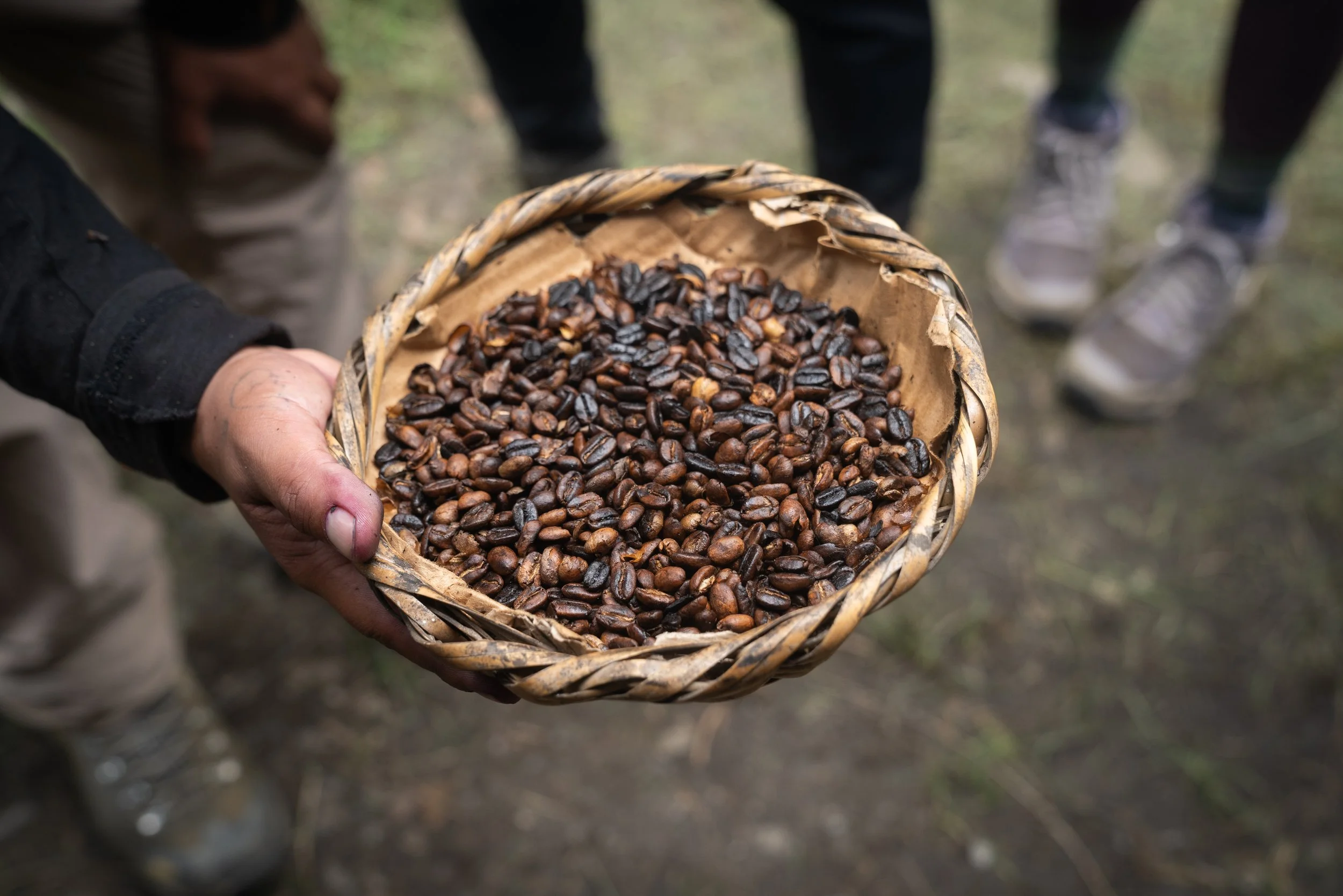
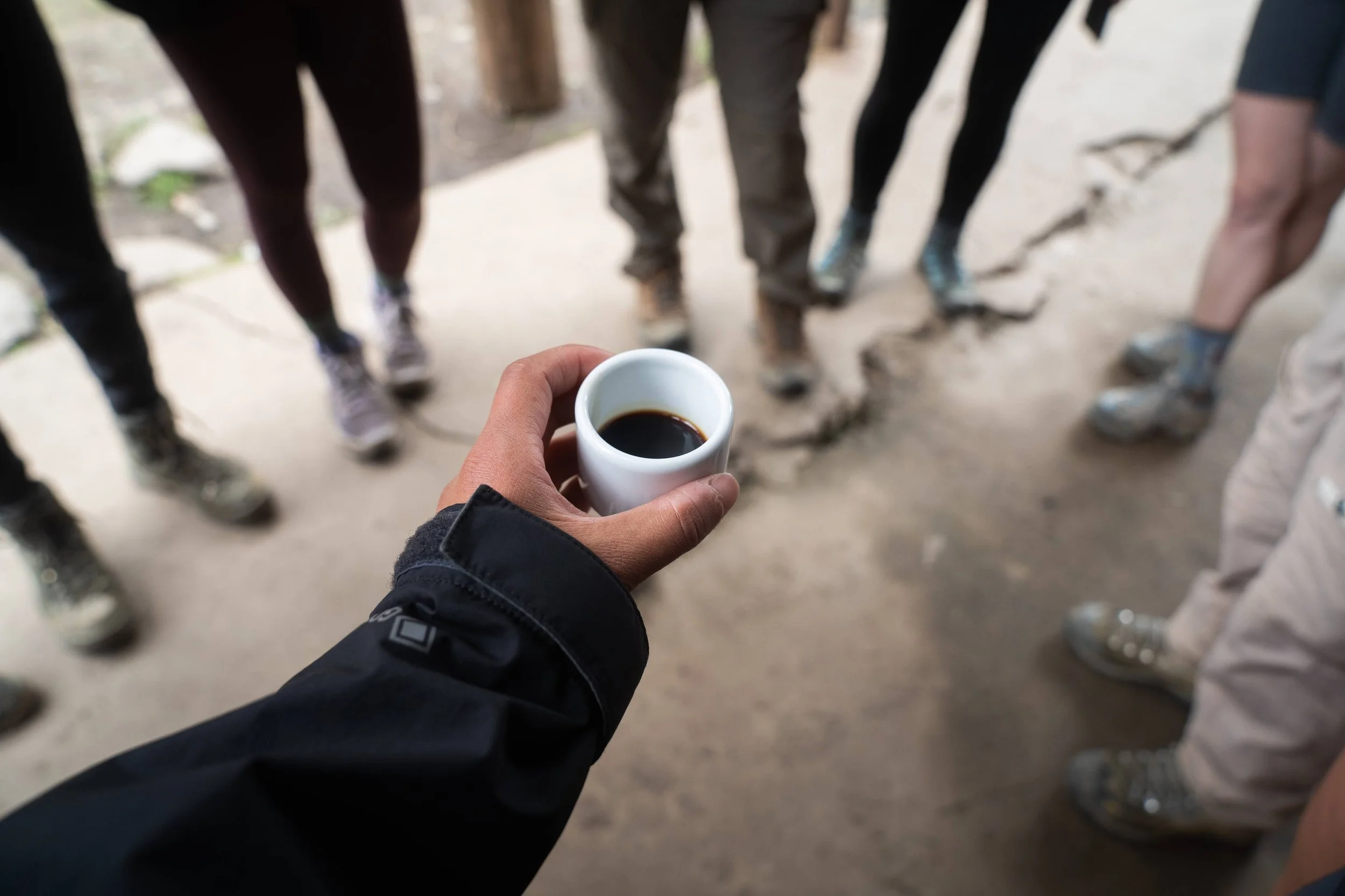
Day three featured another long descent through the cloud forest. But this time, instead of rocky trails, we walked on a dirt road for most of the time so it was very chill which I was thankful for because my legs were so stiff and sore from all the downhill hiking the day before. The only obstacles we faced were two landslides we had to cross. With all the rain this year, parts of the hills had washed away. Crews were actively working to repair the roads and in the meantime, there were some sections where we had to cross a narrow pathway on top of the landslide. The person in charge of regulating safety for each landslide would signal us when it was safe for us to hurriedly walk across the landslide. It was kind of freaky. The horsemen and mules had to also cross the same way we did which seems even freakier. After we crossed the landslides it was smooth sailing from there on out. I listened to an audiobook (Everything I Never Told You by Celeste Ng, very great book) and zoned out, just enjoying the nice long walk that was in front of us. We made two pit-stops along the way. The first was to a fruit stand that sold sweet passion fruit. It was the grossest looking yet most tasty fruit I’d ever had. The second pit-stop was to a coffee farm called Café Canela. We learned about the coffee making process and got to try our hand at making some (we over-roasted it).
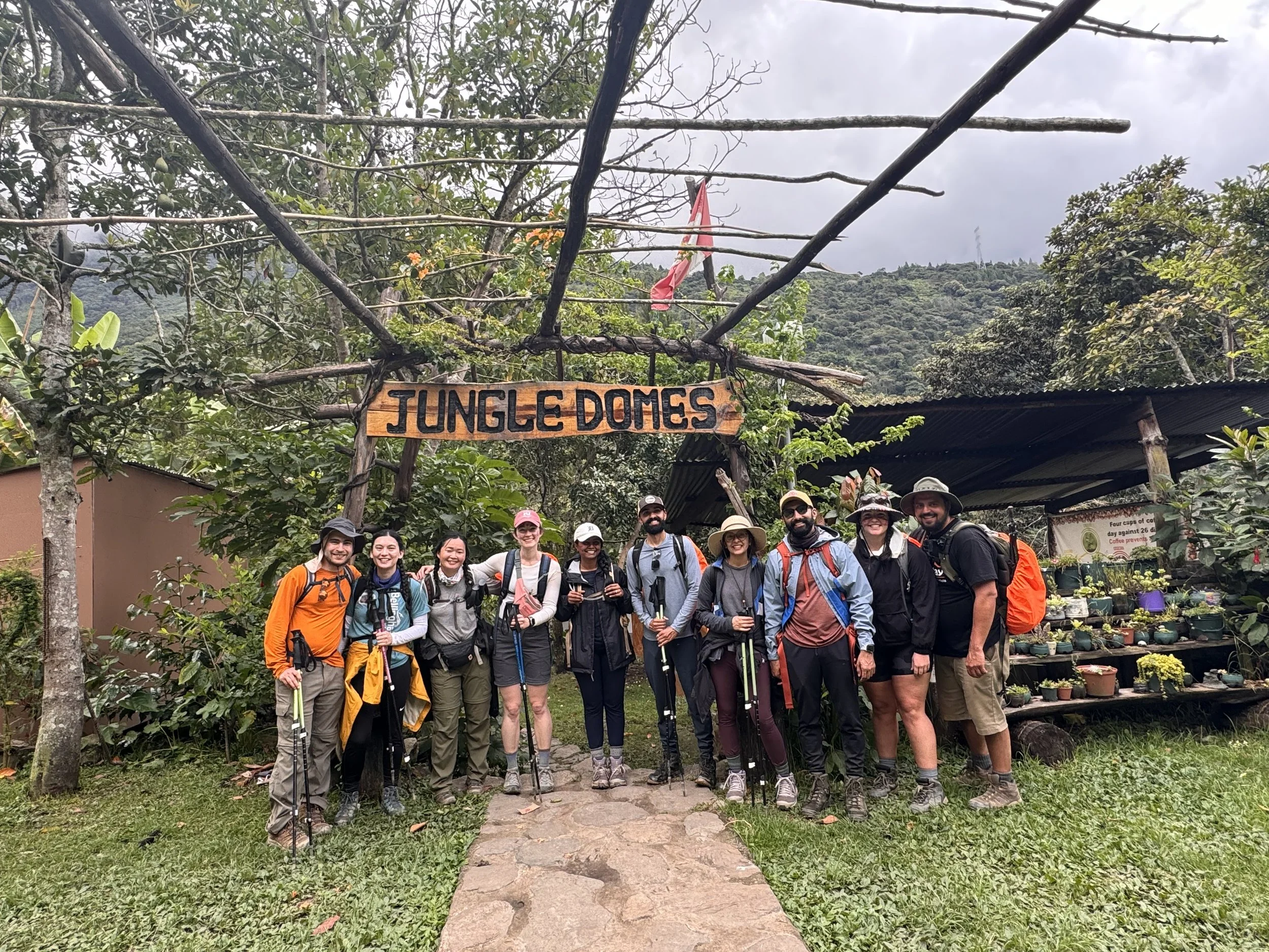
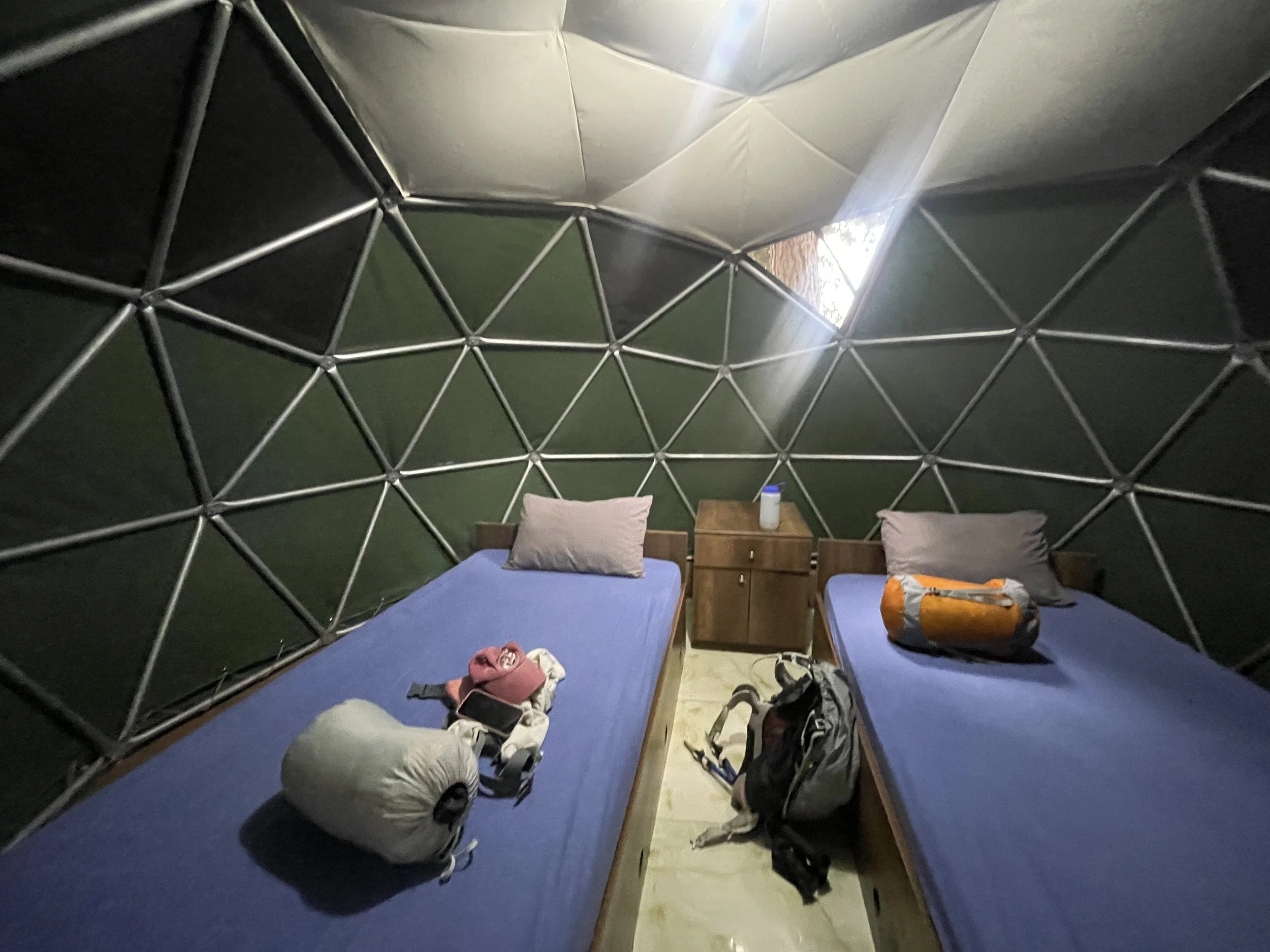
Around lunch time, we got to the Jungle Domes where we’d be staying and relaxed for the rest of the day.

Collpapampa (Mountain View Camp) to Lucmabamba (Jungle Domes Camp)
Elevation min: 6,752 ft.
Elevation max: 9,678 ft.
Campsite elevation: 6,562 ft.
Total Ascent: 285 ft.
Total Descent: 2,991 ft.
Distance: 11 miles
Duration: 4.5 hours
DAY 4 - LUCMABAMBA TO AGUAS CALIENTES
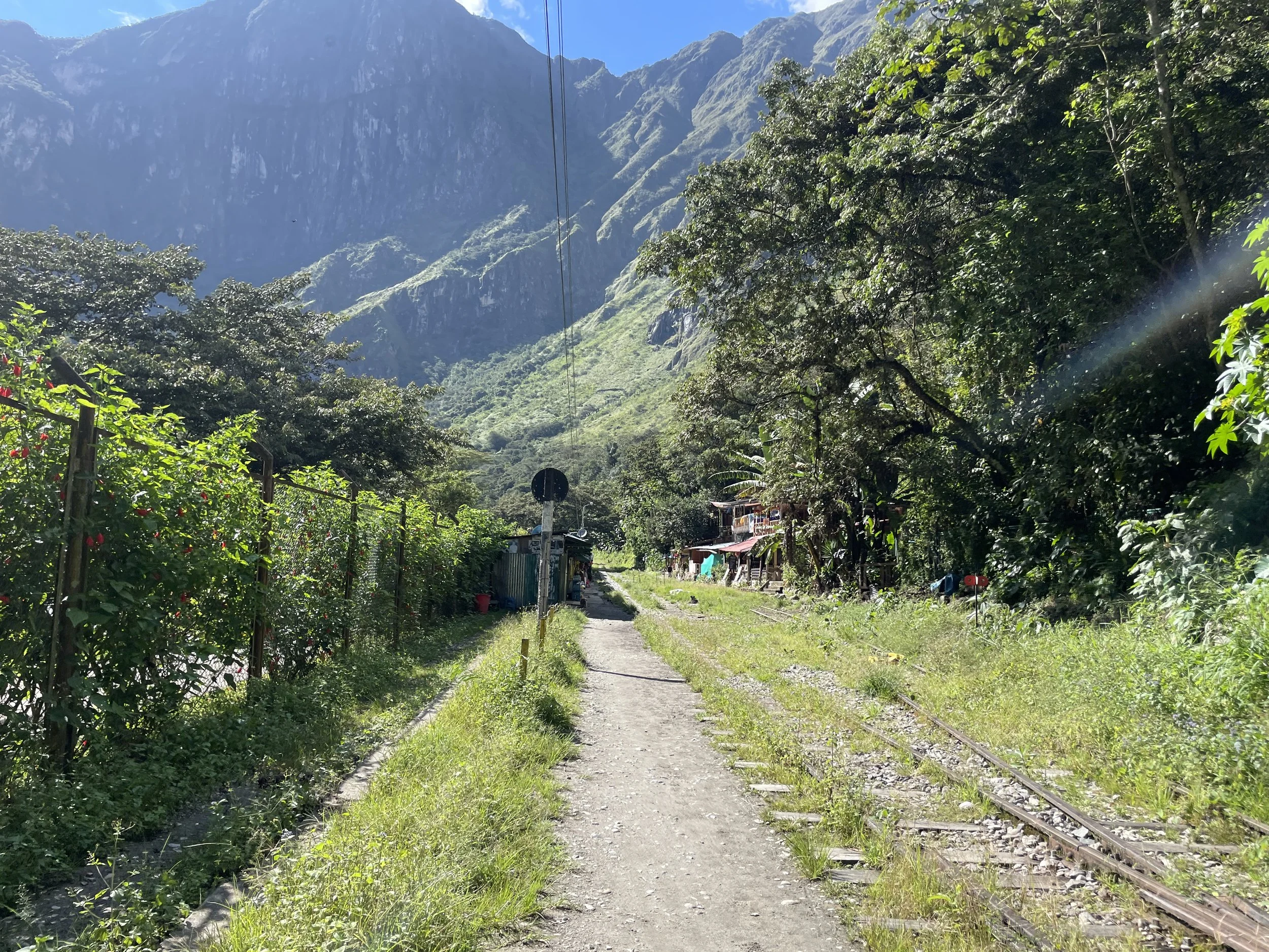
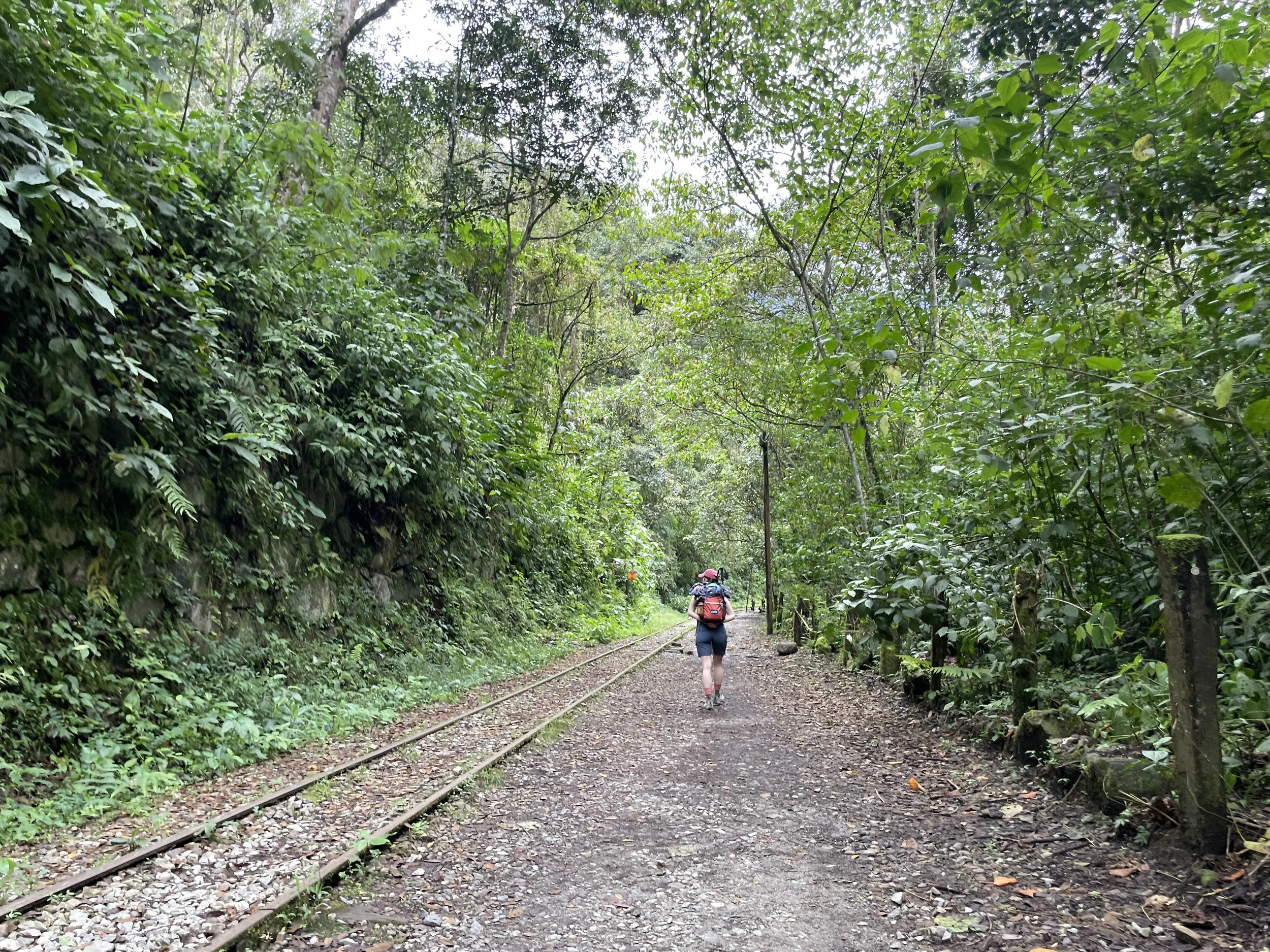
We were supposed to start our day by hiking 9 miles to the Llactapata Pass and ruins (2,624 ft. of elevation gain), and then on to the Hidroeléctrica station where we’d walk another 6.8 miles along train tracks to Aguas Calientes, the town at the base of Machu Picchu. But because of all the rain the day before, it was unsafe to hike up to Llactapata Pass so we had to take a 2.5 hour van ride to Hidroeléctrica. We were all bummed we weren’t going to be able to see Llactapata but given how sore my legs were and given that I had already seen some ruins in the Sacred Valley, I was ultimately okay with the van ride.
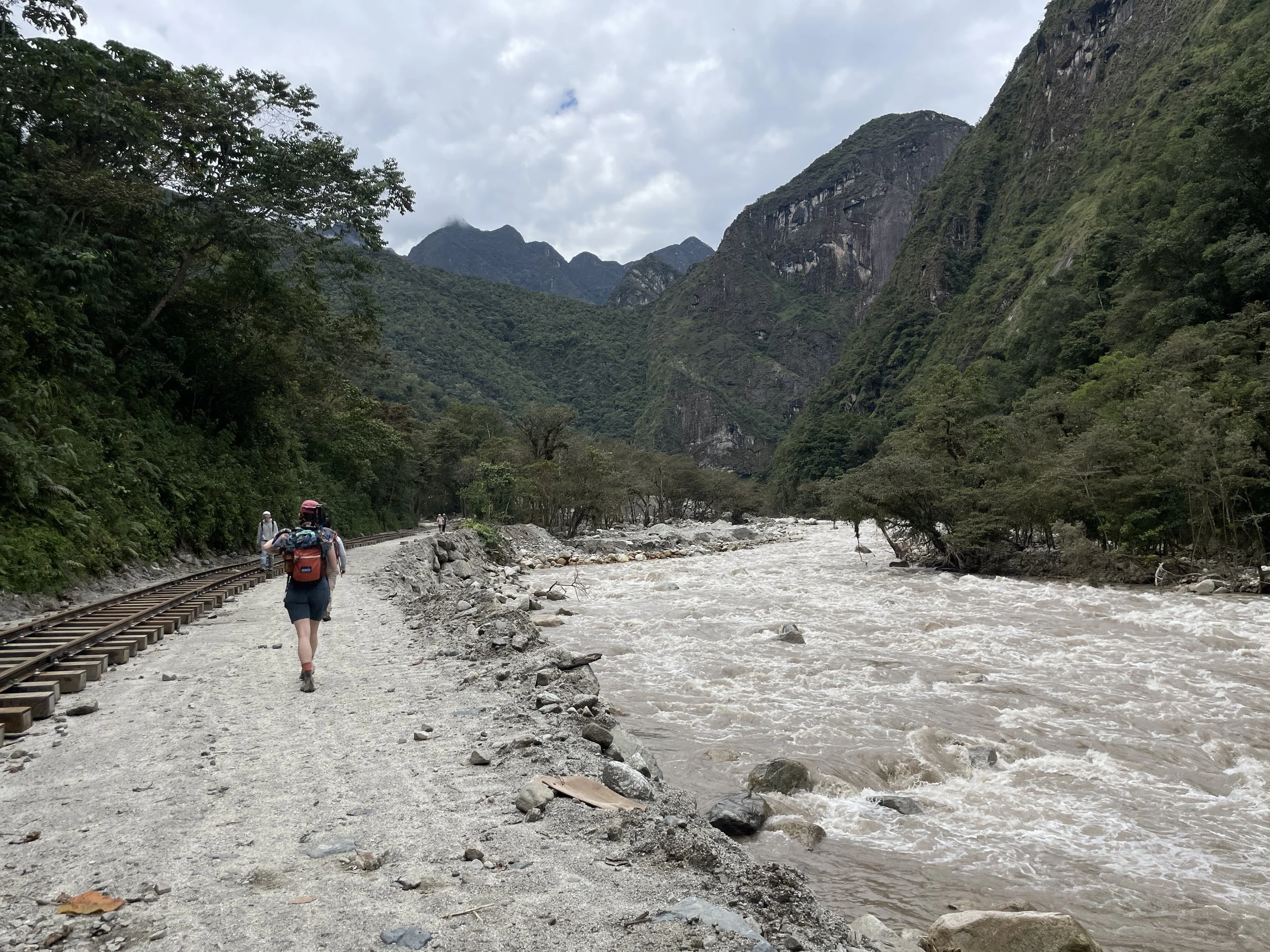
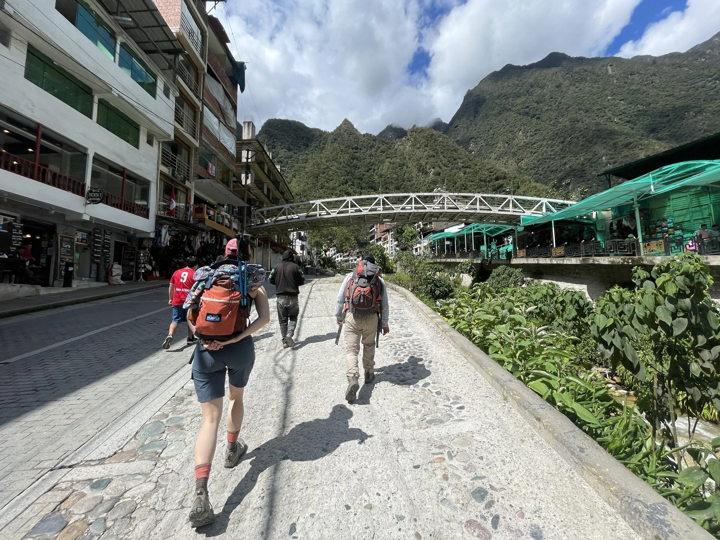
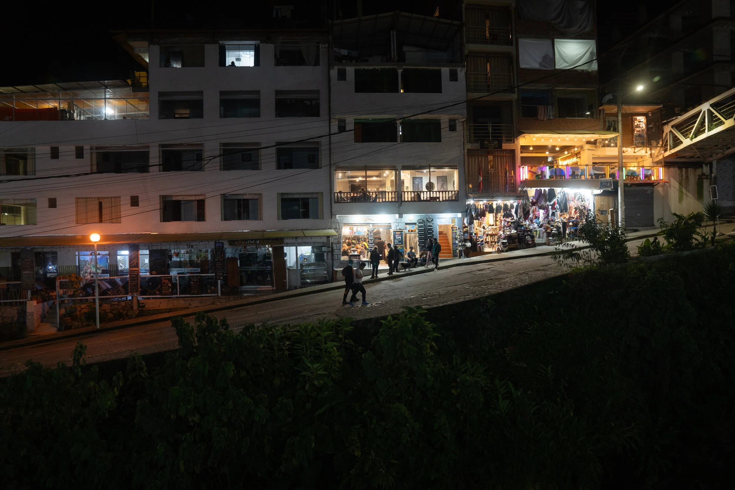
The 6.8 miles along the train tracks was a fun, easy walk. The Urubamba river gushed by us and we were surrounded by super green trees. As we got closer to Aguas Calientes, we started to get glimpses of the back of Machu Picchu high up on the mountain tops. We were almost there! As an added bonus, we spotted the national bird of Peru, the Andean Cock-Of-the-Rock (yes it’s really called that), also known as the tunki in Quechua. It's pretty rare to see in the wild.
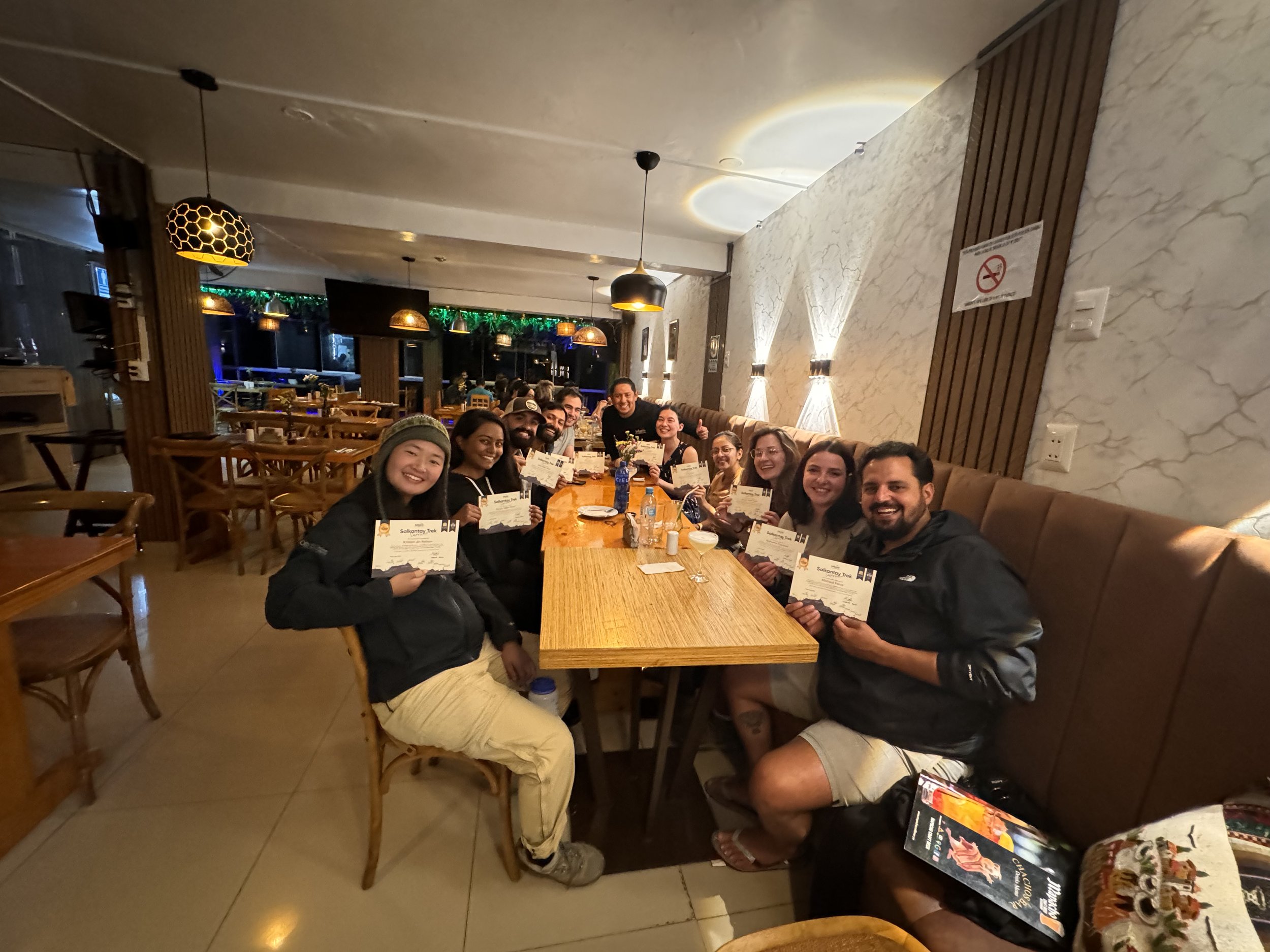
Another perk of not going to Llactapata Pass was that we got to Aguas Calientes early afternoon and got to explore that city more. We visited a few coffee shops (note to self: drinking two lattes right in a row in the afternoon on an empty stomach is not a good idea) and explored the shops. At dinner, Carlos gave us certificates that celebrated our completion of the Salkantay Trek. We laughed, ate delicious food, and reminisced about all the fun we had on the trek. That night, we stayed at the Royal Inti Hotel and after so many days of sweat and grime, it was nice to be in a hotel and back in civilization.
Lucmabamba (Jungle Domes Camp) to Hidroeléctrica station (via van)
Duration: 2.5 hour van ride
Hidroeléctrica station to Aguas Calientes
Elevation min: 6,055 ft.
Elevation max: 7,125 ft.
Town elevation: 6,692 ft.
Total Ascent: 1,056 ft.
Total Descent: 60 ft.
Distance: 6.81 miles
Duration: 2 hours, 50 minutes
DAY 5 - MACHU PICCHU
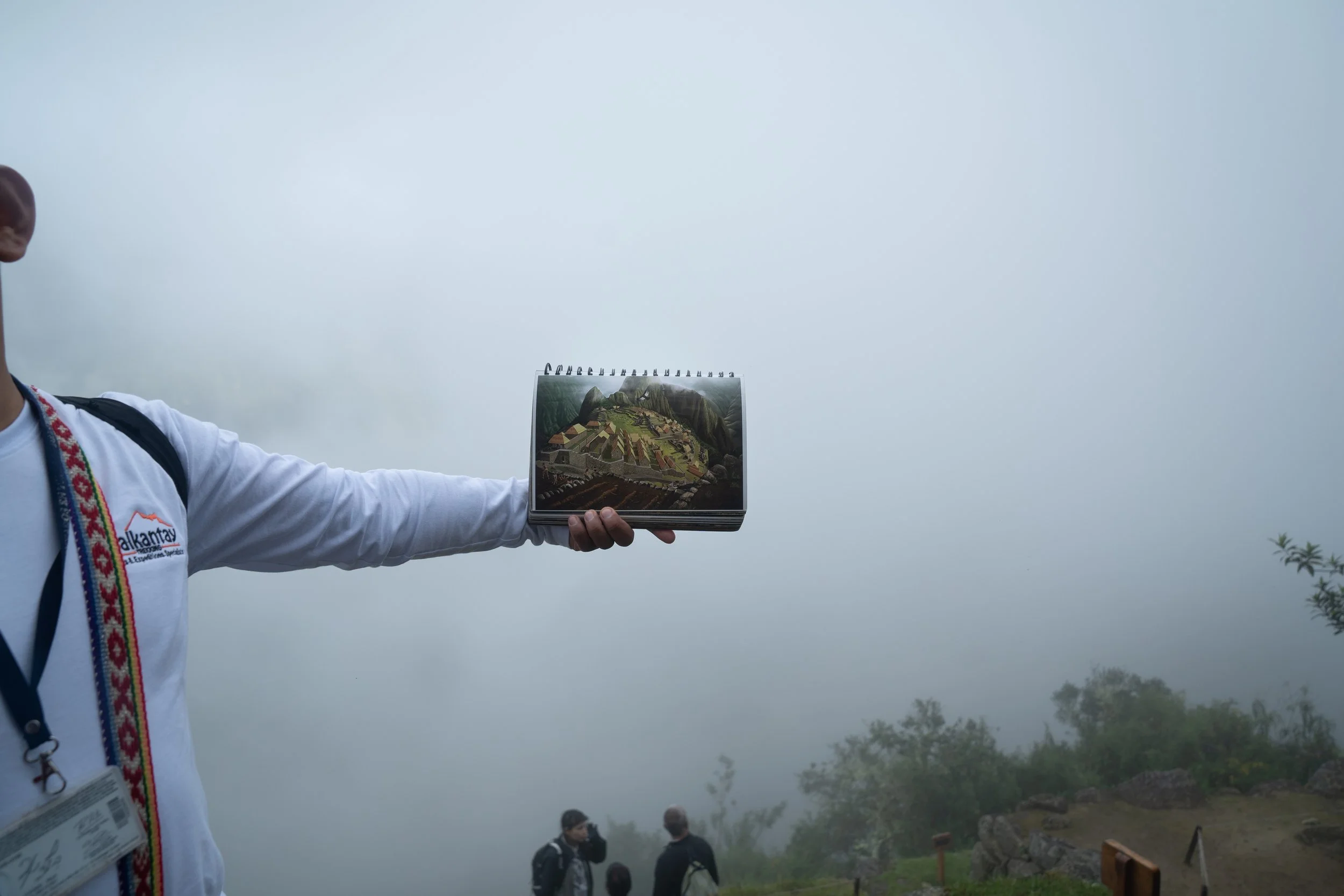
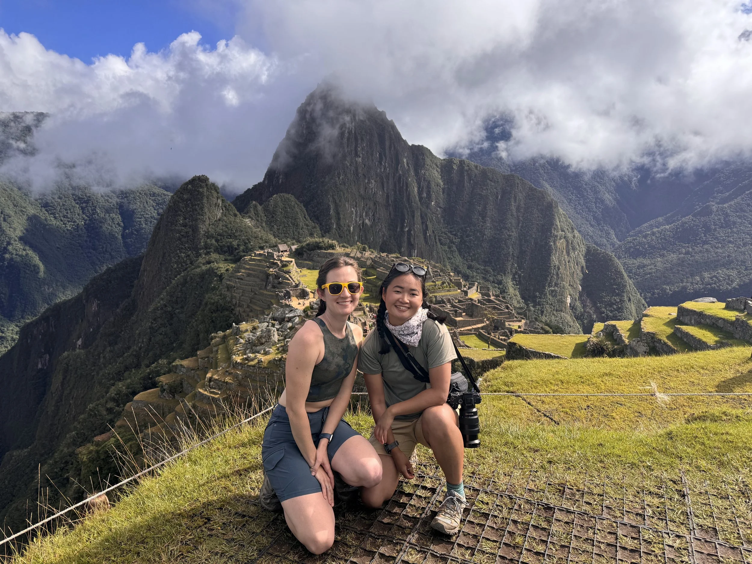
Bright and early, we took a 30 minute bus ride up to Machu Picchu and entered the ruins around 6 am on Circuit 2 (there were a few walking circuits that you could pick from). It was the last day of the trek and the culmination of everything we’d experienced thus far.
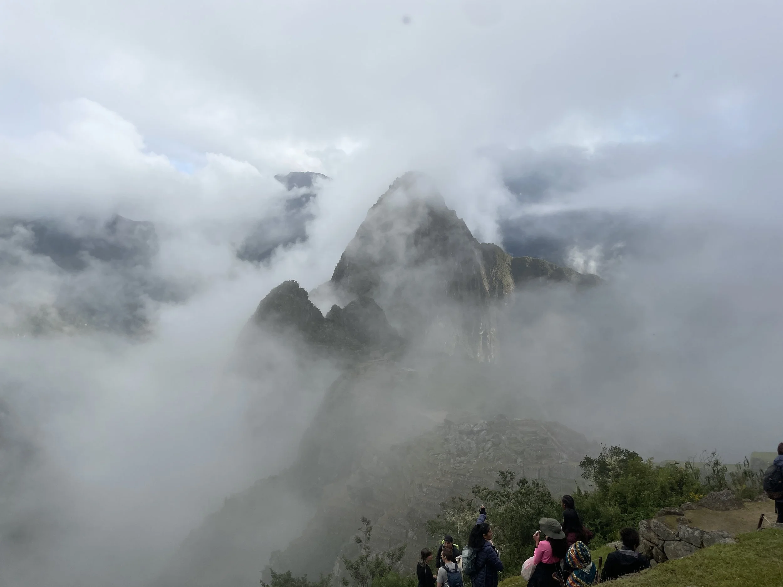
It was really foggy at the popular “postcard” viewpoint but Carlos encouraged us to wait it out. After about two hours, the fog finally started to clear and it was an incredible sight to behold. I had seen pictures of Machu Picchu, even pictures from the very spot I was in, but seeing everything in real life meant so much more than seeing pictures on the internet. What made it even more meaningful was the fact that we had hiked from Cusco rather than riding a train like most people do. We worked our butts off to see that view.
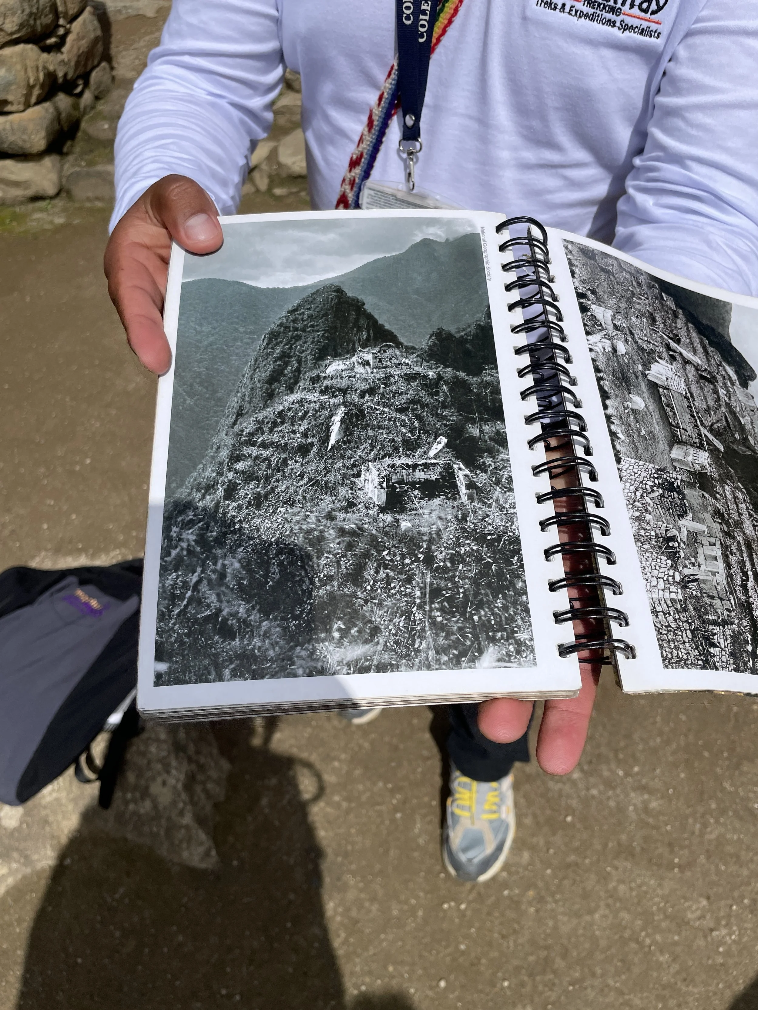
Carlos spent the next few hours sharing the history of Machu Picchu. It was really special to be given a tour by the guy who had spent the past four days guiding us through the Andes mountains.
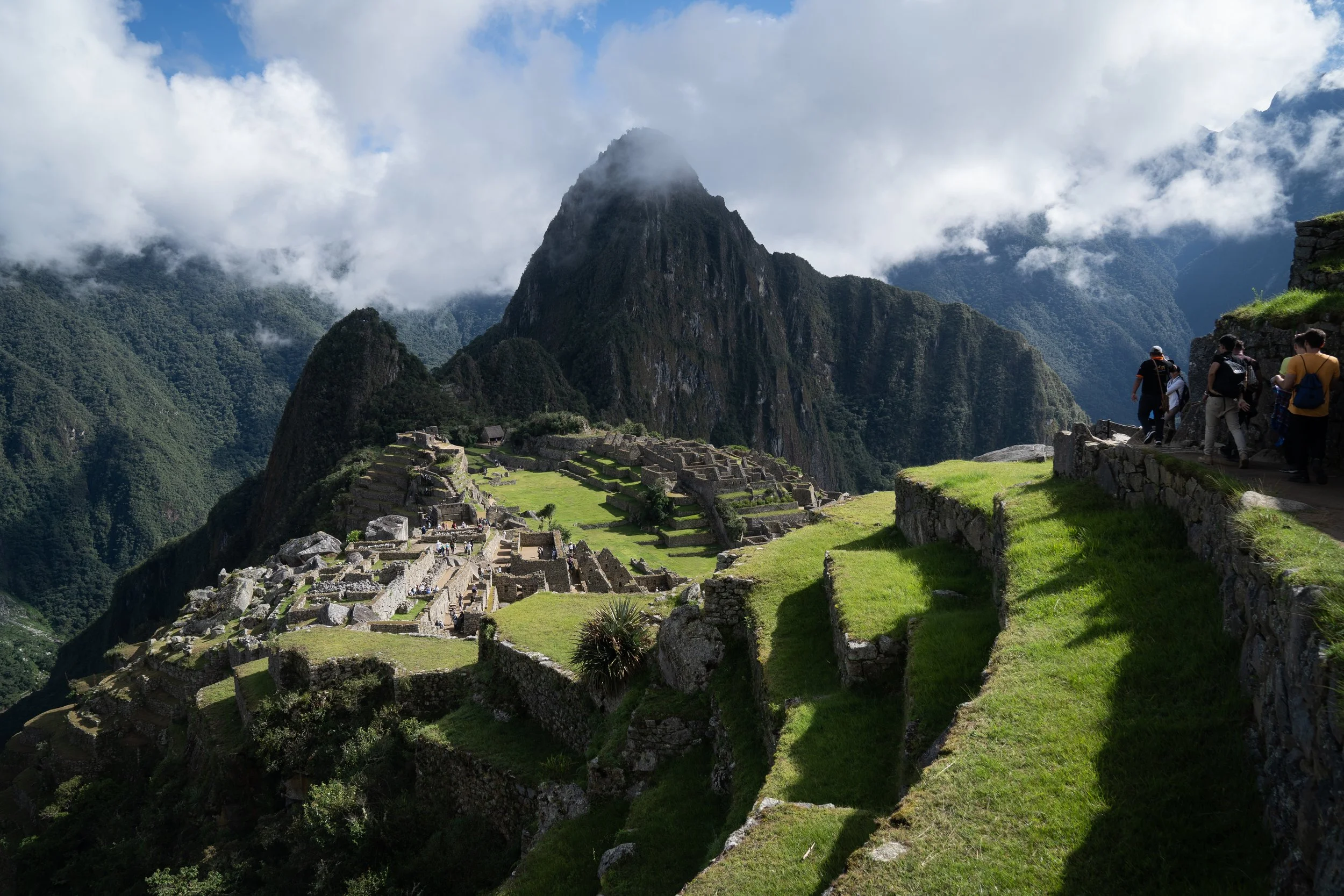
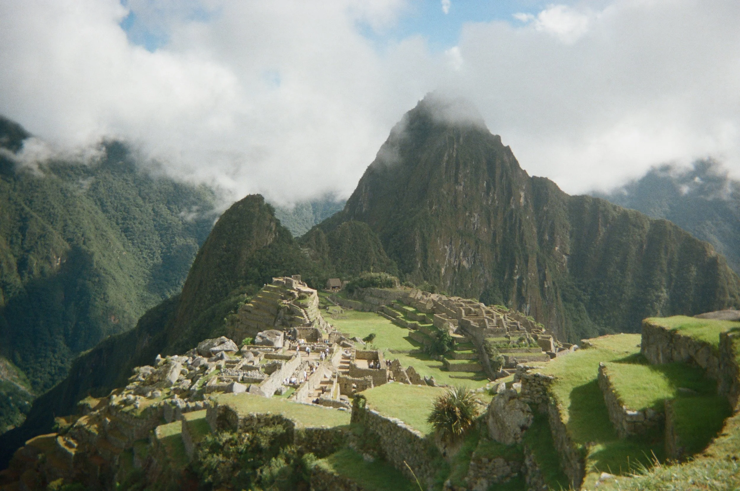
The site took about 90 years to build and at its peak, there were roughly 180 buildings and about 500-700 people lived there. It served as the last religious town along the Inca Trail and likely housed nobility. No one really knows why the citadel was abandoned but the most common theories are that people just simply moved away or started getting sick and left. But either way, it was never found by the Spanish which is one of the reasons why it’s the most preserved of the larger Inca ruin sites. For 380 years, Machu Picchu lay undiscovered, hiding in thick vegetation until it was discovered by local farmers.
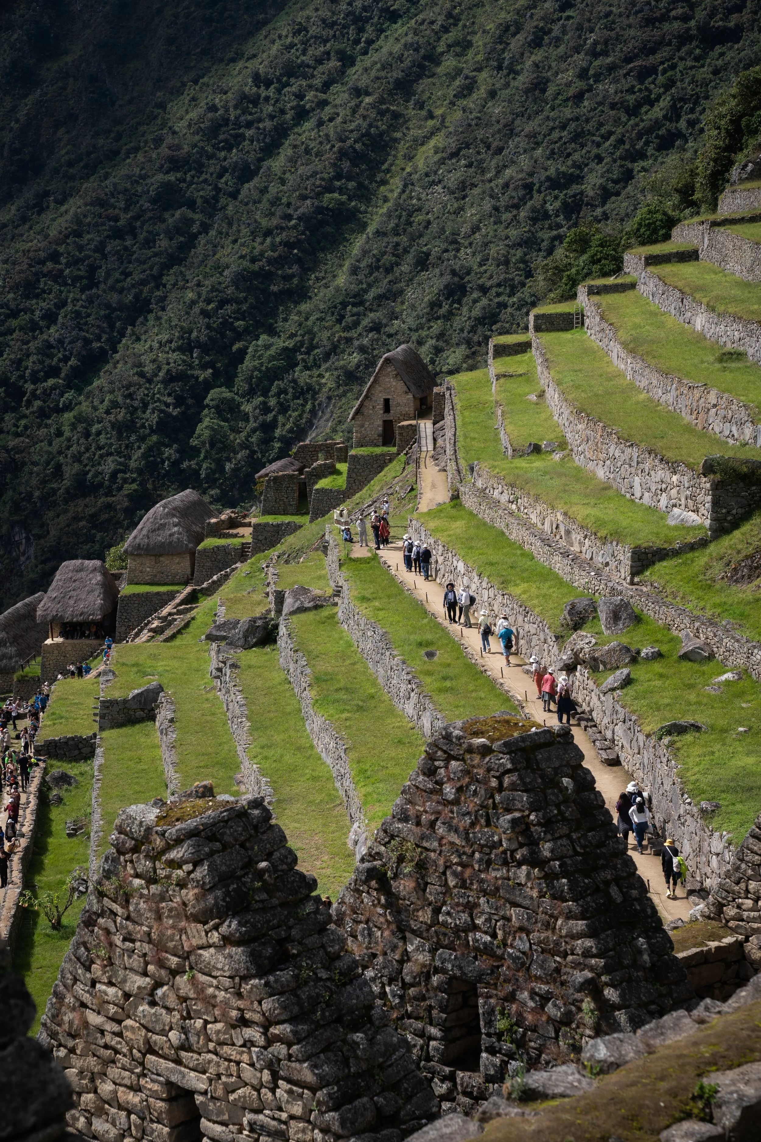
We saw both farming and urban areas of the Machu Picchu citadel, rooms where offerings were made to the gods, and sacred areas referencing the importance of the condor (represents the upper world), the puma (our world), and the snake (the underworld). It’s no wonder why Machu Picchu is one of the New Seven Wonders of the World.
Fun fact: the list is called the “New” Seven Wonders of the World because in 2000, a campaign was launched to determine a new list of seven wonders, given that the original list (often now referred to as the Seven Wonders of the Ancient World) was created back in 2nd Century BCE and the Great Pyramid of Giza is the only one from that list still standing. Millions of votes were cast to determine the new list and in 2007, the New Seven Wonders of the World was created. In addition to Machu Picchu, this newer list includes the Great Wall of China, Chichén Itzá in Mexico, Petra in Jordan, Christ the Redeemer statue in Rio de Janeiro, the Colosseum in Rome, and the Taj Mahal in India.
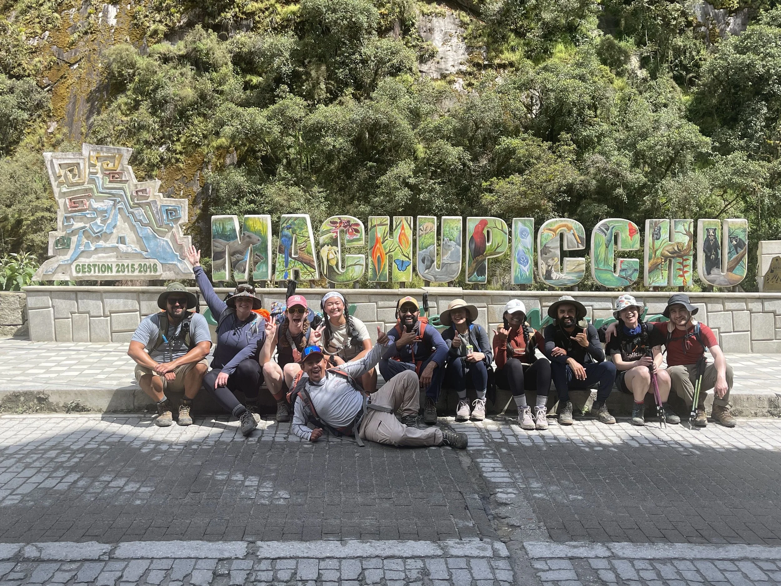
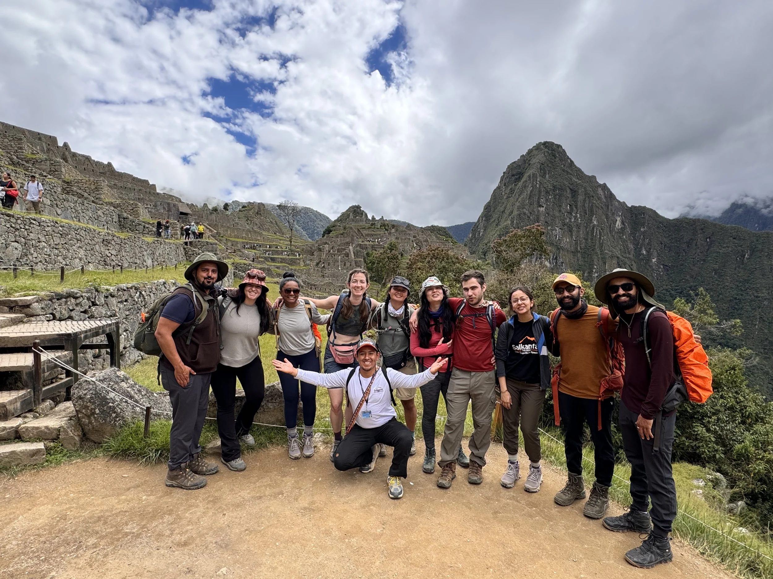
At the end of the tour, we boarded the bus back to Aguas Calientes where I had some incredibly delicious pasta and one last Peruvian beer. Then we spent the next 5 hours taking a train from Aguas Calientes to Ollantaytambo and then a van to Cusco. The moment we’d all been dreading had come. It was time to say goodbye to the group and goodbye to an incredible trek.
Over five days, I had the thrill of a lifetime getting to know my fellow hikers and our guide Carlos, and getting to share the whole experience with my friend from back home. Team Happy Face felt like a little family and it was hard to say goodbye.
After one last night in Cusco (we stayed at the Samay Wasi hostel in the San Blas district), we boarded an early flight to Lima and then on to Los Angeles. By the time our flight landed in Los Angeles, I was pretty exhausted from traveling so it was nice to go back to my apartment. It felt good to be home, but I was already missing the trip and the people. Even a month later, I still do.
Looking back on the trip, I really understand how much I needed a trip like this one. Leading up to it, I was really lacking self-confidence and energy for life. This trip was a breath of fresh air and a warm ray of light to break up all of my dark clouds. After the trip I felt reinvigorated and more confident. The trip reminded me why I love traveling so much, made me feel like a badass woman, and also reawakened my passion for photography. It showed me that I’m capable of reaching higher altitudes (maybe now I can finally hike a classic Colorado 14er like I’ve always wanted to) and capable of staying in the moment while traveling. The happiness and presence I felt on this trip was unlike anything I had experienced. The trip was everything I needed and wanted, and so much more. I’m so grateful to Nicole, Katie, Mike, Gina, Max, Navya, Nikhil, Dee, Dave, Carlos, Beltran, David, Luis, and Salkantay Trekking for making the whole experience so insanely wonderful. It was truly the trip of a lifetime. When can I go back?